Drachenweg "Triumphalis"
The "Drachenweg Triumphalis" is one of four hiking trails named after famous dragons (from literature or films) in the Mossautal of the Odenwald. The "Triumphalis" Circuit leads around the village of Güttersbach in a 15,5km long loops, passing by several interesting sights, both natural and cultural – for example one of the very few last bogs in the Odenwald, the legendary Siegfriedsbrunnen as well as several freshwater springs and historic artefacts.
The "Drachenweg Triumphalis" Circuit
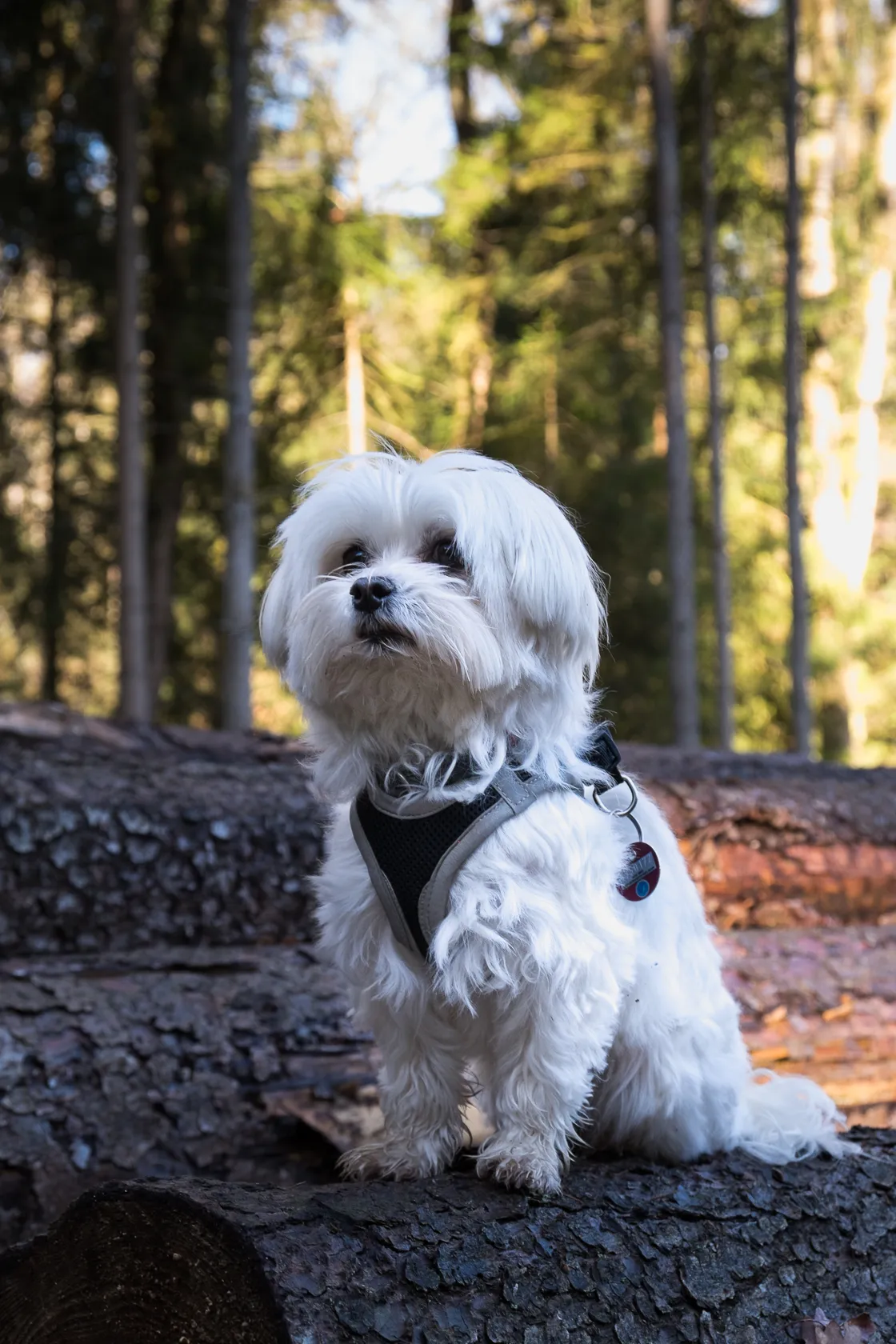
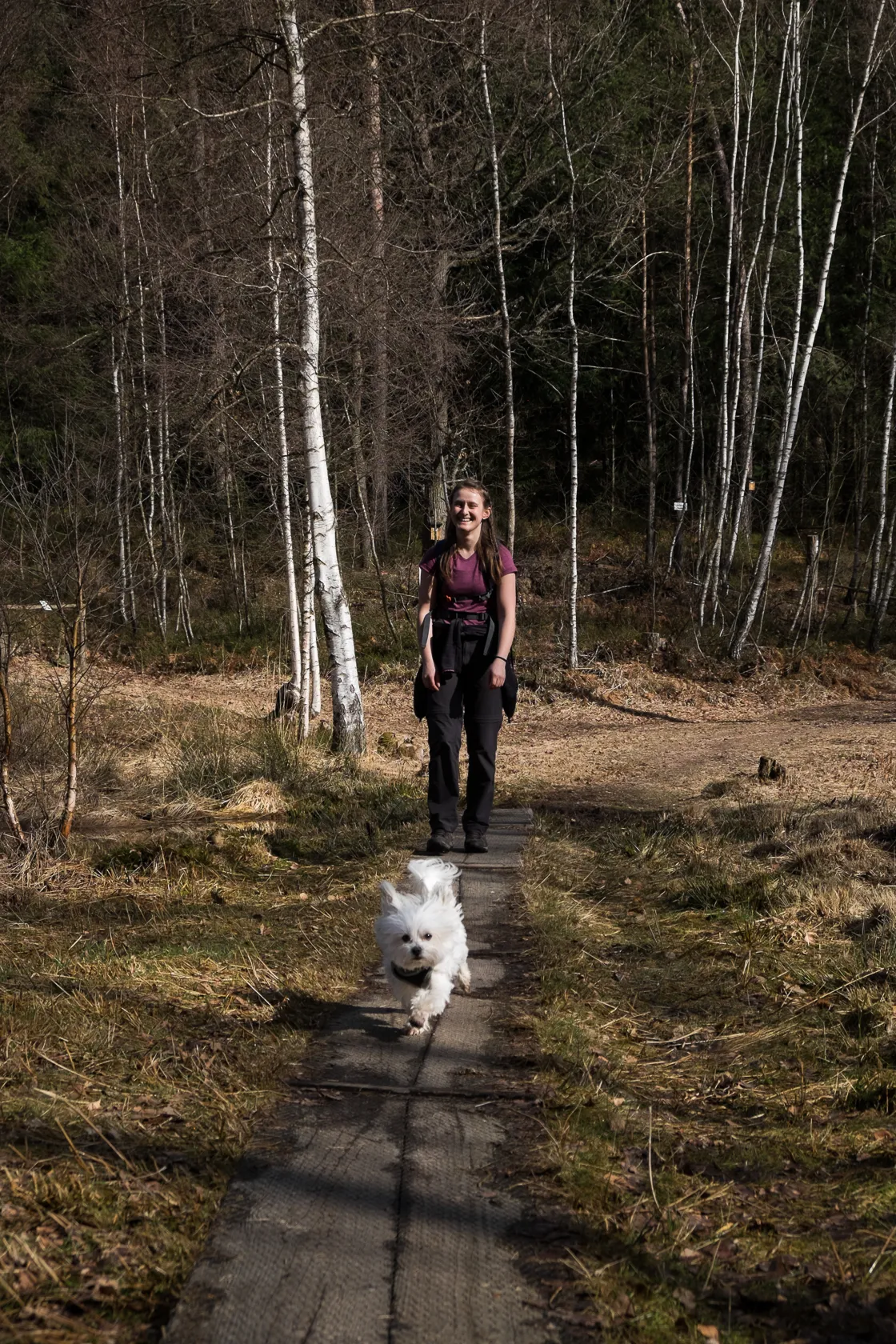
Today I was not out with Tim as usual, but rather with Isabelle and Shani, my family's tiny, white maltese dog. The Odenwald region is pretty much smack in the middle between my former and current home towns, so it's a great place to meet up with the family for a hike.
The meeting point today was the Mossautalhalle in Hüttenthal, starting point of the "Drachenweg Triumphalis". Not quite a minute after I had parked my car, my hiking buddies arrived too and we got ready to start into today's adventure.
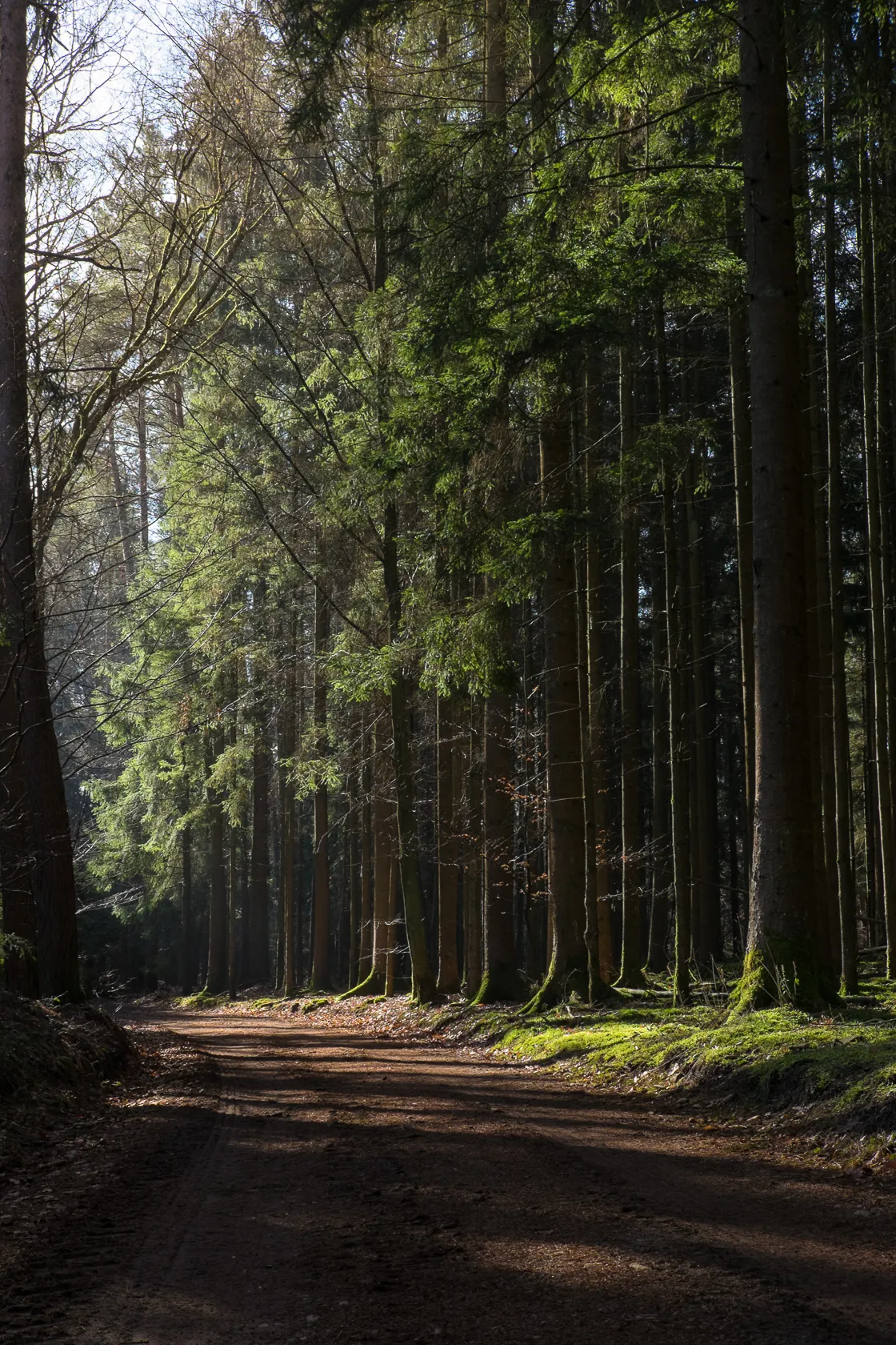
The "Triumphalis" Circuit is well marked with a white "MD1" on a green rectangle. The trail markers first led us out of the village, passing a farm, and towards the forest. Here the trail starts into the forest along an educational trail about birds. The path winds trough the forest, passing fallen trees. Soon we started getting warm despite the cool weather of something around 5°C, as we walked up toward the first small elevation of the trail, the "Vogelherd".
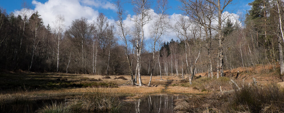
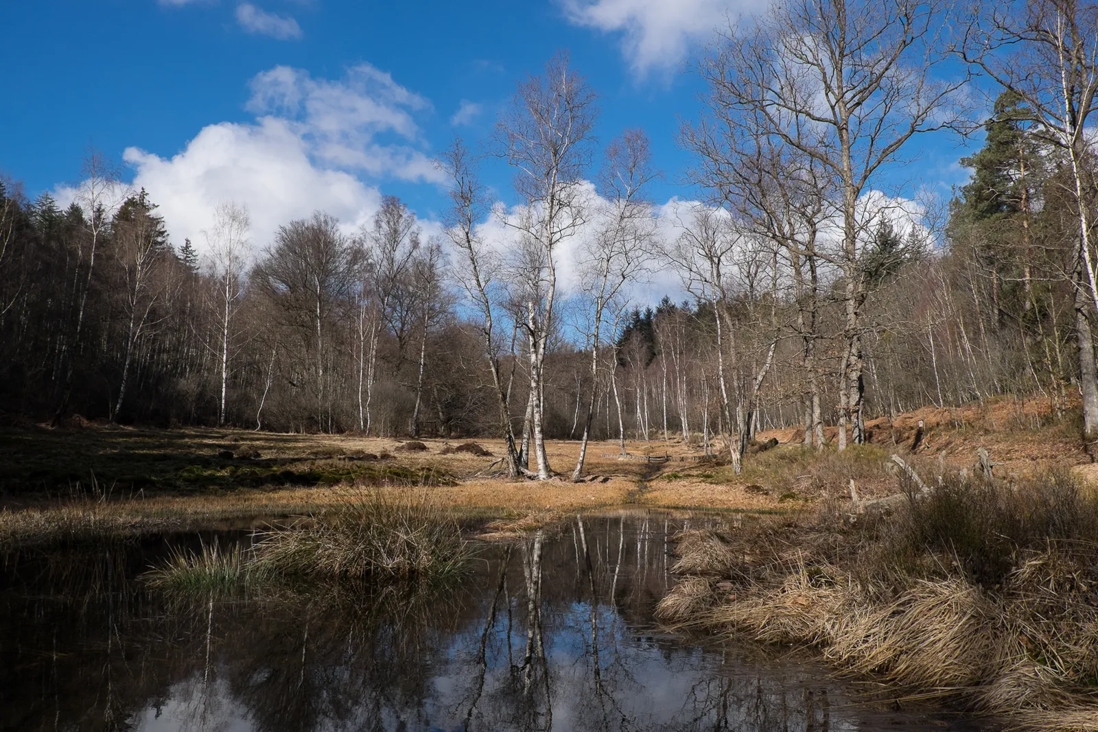
Conservation Area "Rotes Wasser"
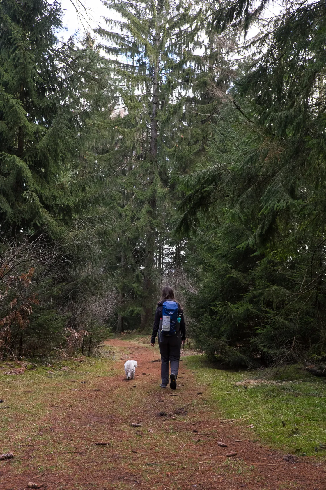
Every now and then the path escapes the forest for a while and continues along the edge of it, before leading back between the trees. Small footpaths alternate with wider forest roads.
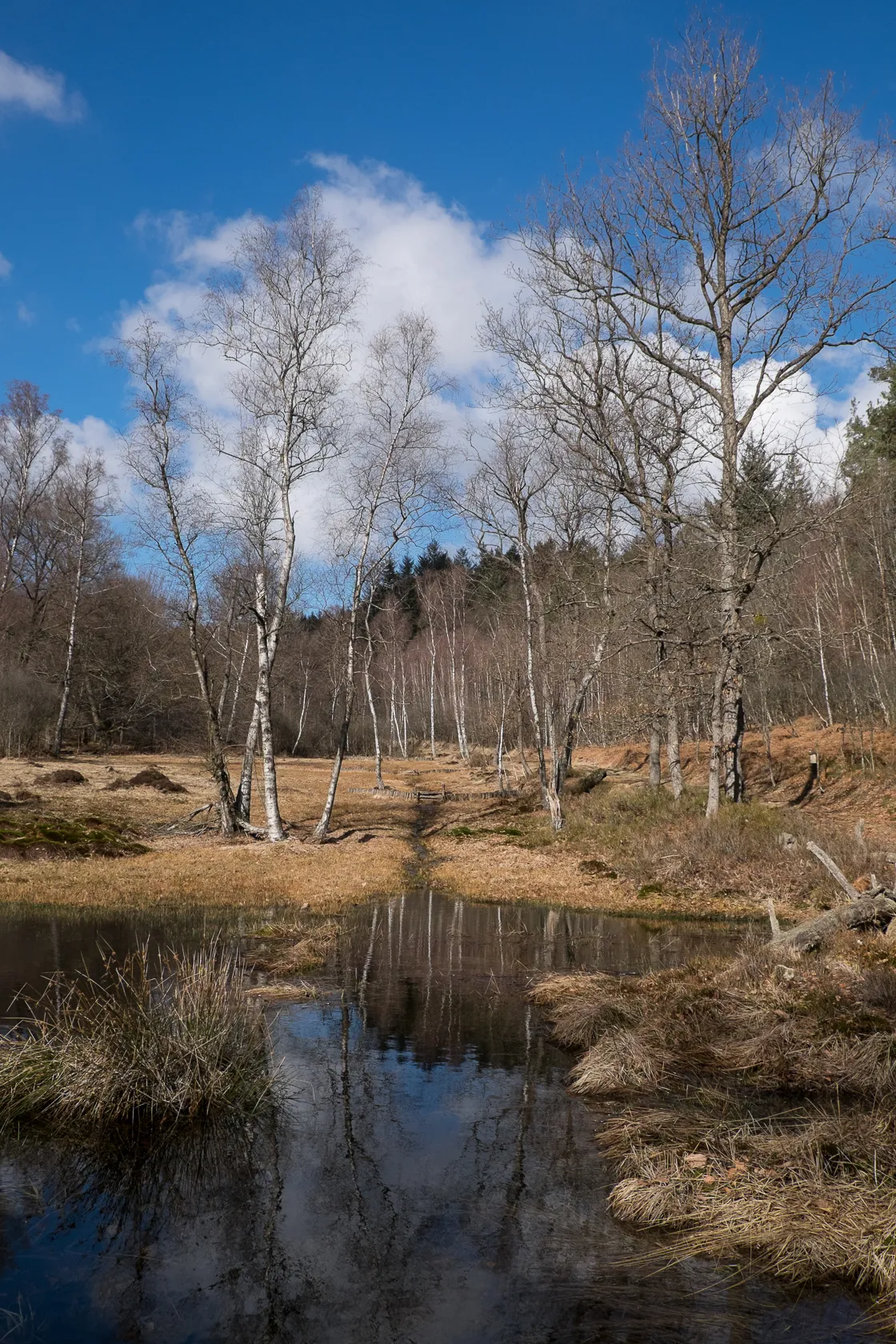
Shortly after crossing an actualy road cutting through the forest, the vegetation changed around us. The previously predominant coniferous trees give way to birch trees and an open space. We have reached the conservation area "Rotes Wasser" (Red Water) – one of the last real bogs of the Odenwald region. It owes its name to some algea that bind iron in the water, causing a rusty red coating on rocks and vegetation – giving the water a reddish appearance.
To protect the sensitive vegetation the marshy areas should not be walked on. To prevent people doing that a small boardwalk leads across the bog. Due to wet weather the past week the area was really wet and made a nice motive for photography. In summer a lot of rare plants such as sundew and cotton gras can be found in the nature reserve, as well as some rare dragonfly species.

The Spessartkopf
We follow the green and white trail markers and take the "Detour" around the bog. The ground below our feet here is soft and bouncy, like it often is in coniferous forests in alpine regions. We love it, and Shani seem to like it too.
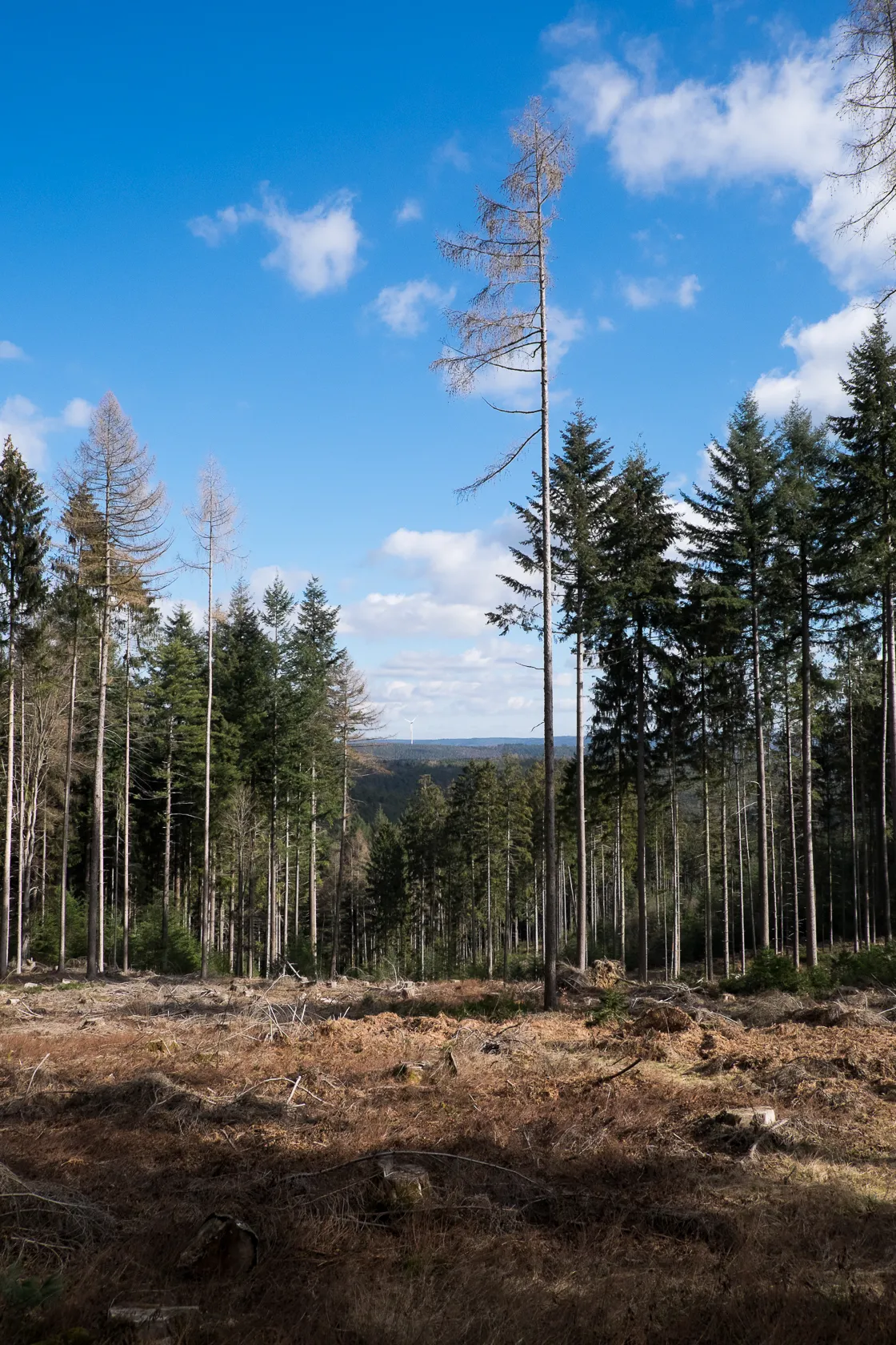
Once we have reached the other side of the bog, the path leads upwards and onto another wider forest road. Soon we reach the Spessarkopf, at 548m the highest elevation of this trail. From now on going will be even easier as we're slowly descending towards our starting point. At the Spessartkopf we find benches and a table and it would be a nice place for a little picnic – but since it's still fairly cold and the sun doesn't have enough power yet to warm us through the trees we decide to continue rather than taking a break here.
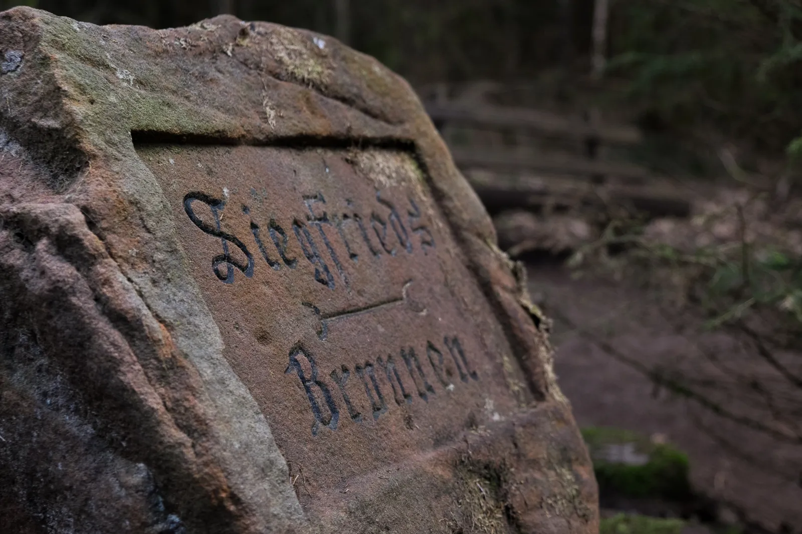
We turn onto a smaller footpath and descend, reaching the "Siegfriedsbrunnen" after only a short while.
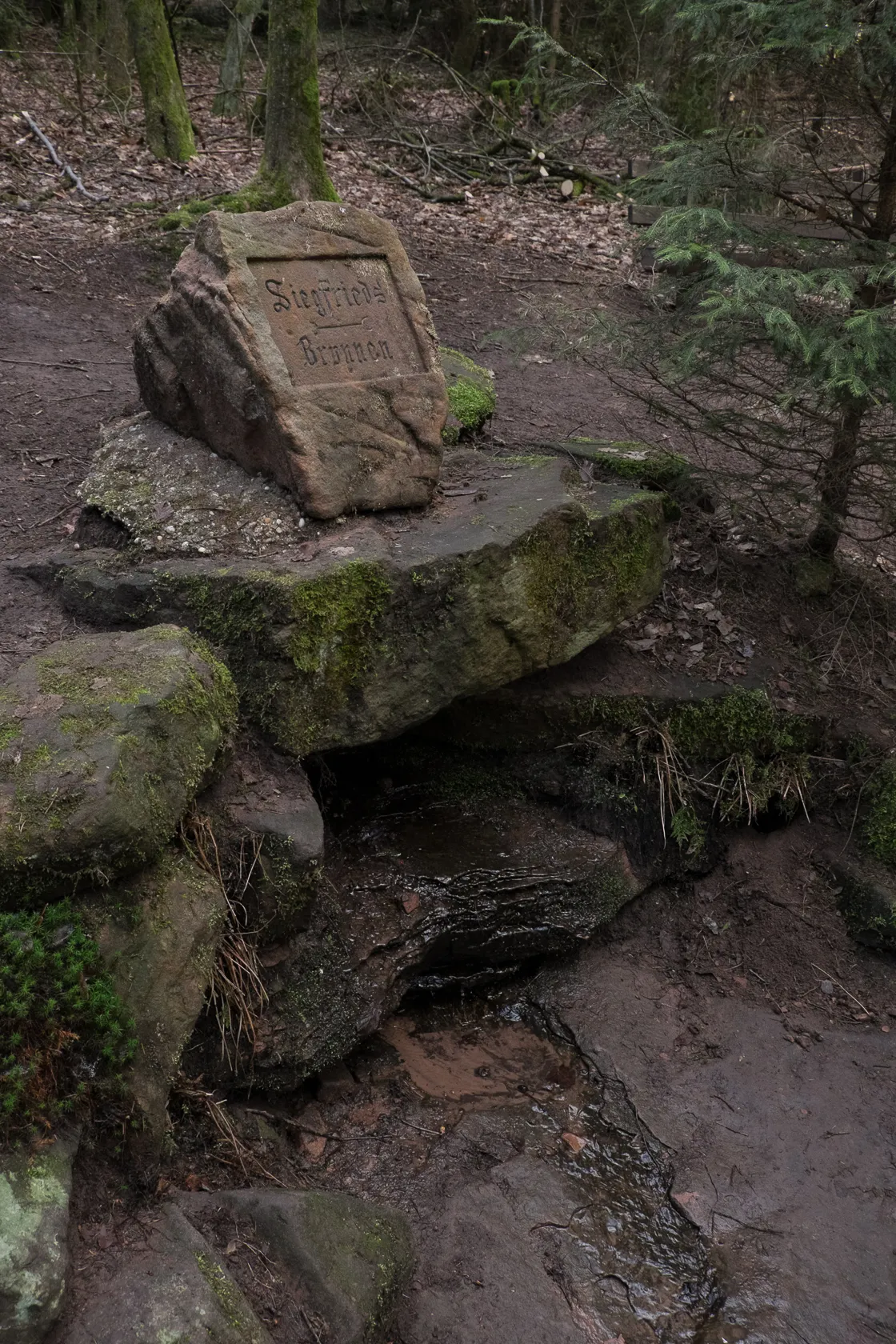
The Siegfriedsbrunnen
According to local folklore of the "Nibelungenlied" the freshwater spring is the place of a legendary murder, when Siegfried the Dragonslayer was killed by Hagen, who wanted to get to Siegfrieds treasure. Unfortunately there are several springs and wells known by that name in the Odenwald, so it might or might not we the one referenced in the myth.
The area around the well is nicely made up with several information signs that give an overview of the "Nibelungenlied"-Saga. There are also seating areas and a wooden pavillon, so all in all it's a really nice place for a rest. Since there was a bit more sun here, we took the chance and had a quick snack before continuing our hike.
Weißfrauenbrunnen
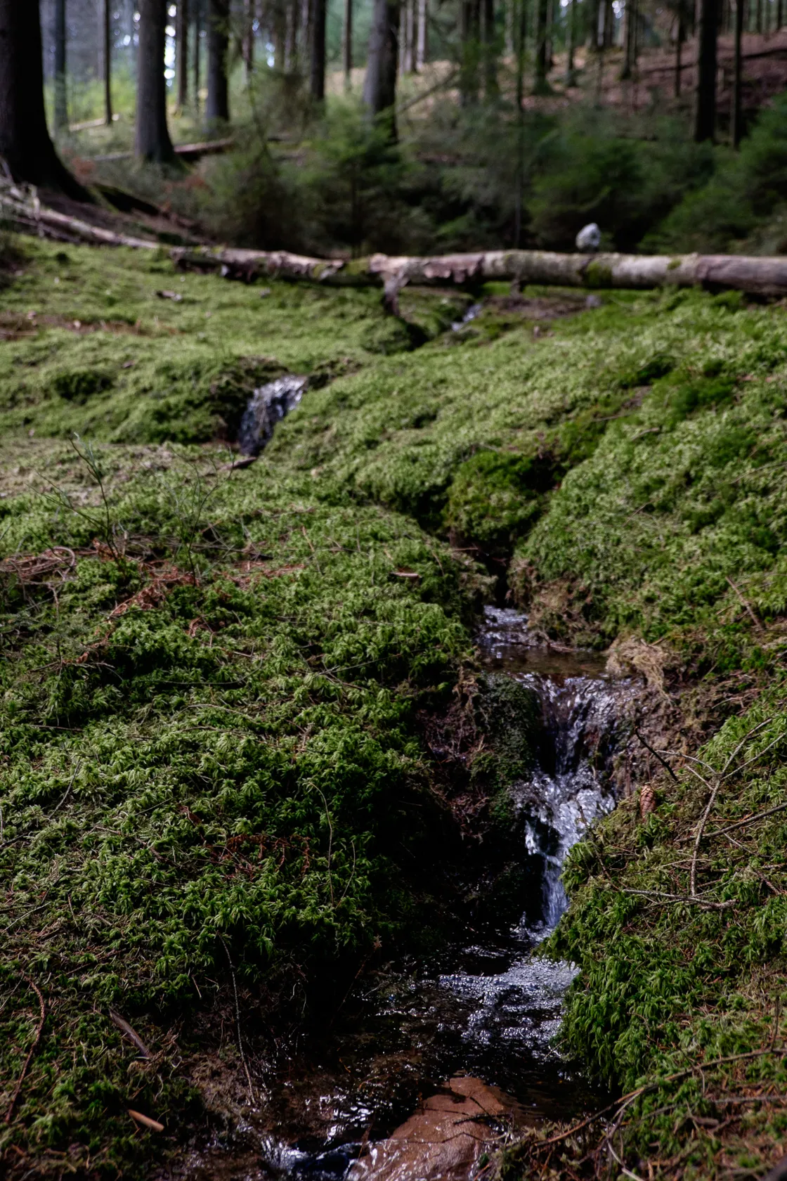
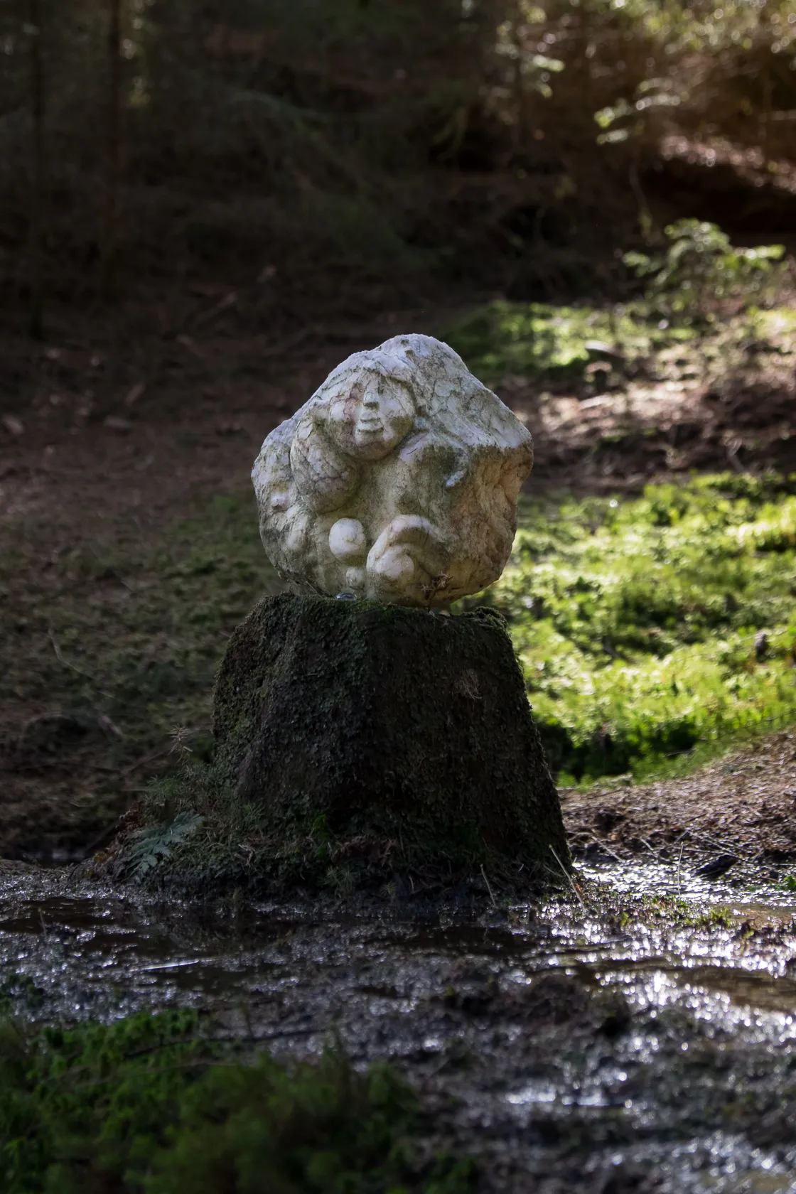
After our short break the trail turns onto yet another forest road and we half expected to just follow that until we reached our starting point. But the trail had another littel surprise in store for us. To our right we saw a small path and a sign informing us about the "Weißfrauenbrunnen" (White womens spring). And it really turned out to be a little gem. The atmosphere is completely different than in the forest surrounding it. It's so calm and idyllic. A small stream runs from the spring through a bed of incredibly green moss (even though it's still wintertime) and falls down across little rocks in tiny waterfalls. Where the water bubbles up from the ground a small sculpture made from alabaster and depicting a women is set up – it was made by sculptress Eva-Gesine Wegner in 2006 and is now guarding the spring. This small clearing really relt like a magical place from another world, maybe because it was so green and lush in the middle of the bleak winter forest. We decided we'd have to come back some time in the summer with a good book and a lot of time to just hang out there and breathe the atmosphere.
After our little magic moment at the Weißfrauenbrunne we move and and follow the forest road back towards Hüttenthal. Along the way are serveral more springs and wells such as the Dachsbrunnen. Then we can finally see the first roofs between the still bare trees. After about four and a half hours hiking we reach Hüttenthal and follow the signs along the road to the parking lot at the Mossautalhalle.
Right there by the parking lot is a machine where you can by fresh regionally produced foodstuff, such as sausages from the local butcher as well as dairy products from the Hüttenthaler Molkerei. We love things like that so I took the opportunity to buy fresh butter and joghurt before making my way back home.
Details about the Drachenweg Triumphalis
Length: 15.6km
Ascent/Descent: 380m
Duration: 4.5h
Marker: white "MD1" on a green rectangle
Parking is available at the Mossautalhalle, Güttersbacher Str. 2, 64756 Mossautal- Hüttenthal
Further Information can be found at the Bergstrasse-Odenwald Website
1 Comment
Wirklich ein sehr schöner Weg.
Sicher auch im Sommer für das Gehen mit Hund geeignet, da sich der Großteil der Strecke im Wald befindet und es immer wieder Wasserstellen zum Abkühlen gibt =)
Leave a comment