Donauberglandweg - Mühlheim to Fridingen
Just as the day before on Section 4 of the Donauberglandweg, we parked our car at the destination of the trail, in Fridingen, and used public transport to then get to the starting point.
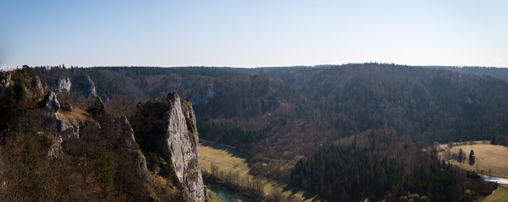
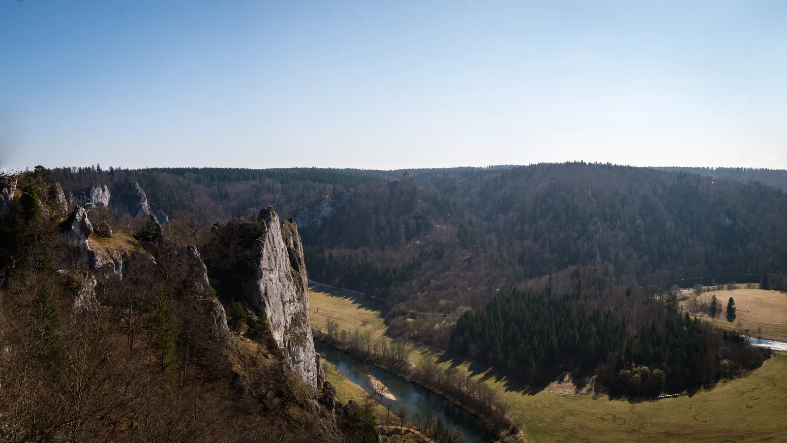
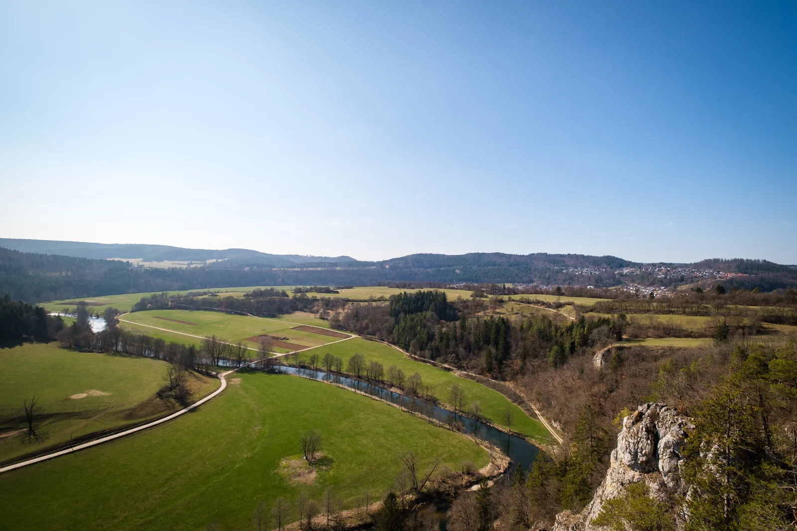
While on our way to Fridingen though to park our car, we came by the Knopfmacherfelsen, which is also a waypoint and highlight of today's trail section. We stopped for a moment, to enjoy it in the morning hours, with the Beuron Monastery down in the valley still covered in clouds. And the viewpoint devoid people. After taking a few pictures we continued on to Fridingen, parked our car and took the Bus towards Mühlheim, where we got off in Mühlheim Oberstadt.

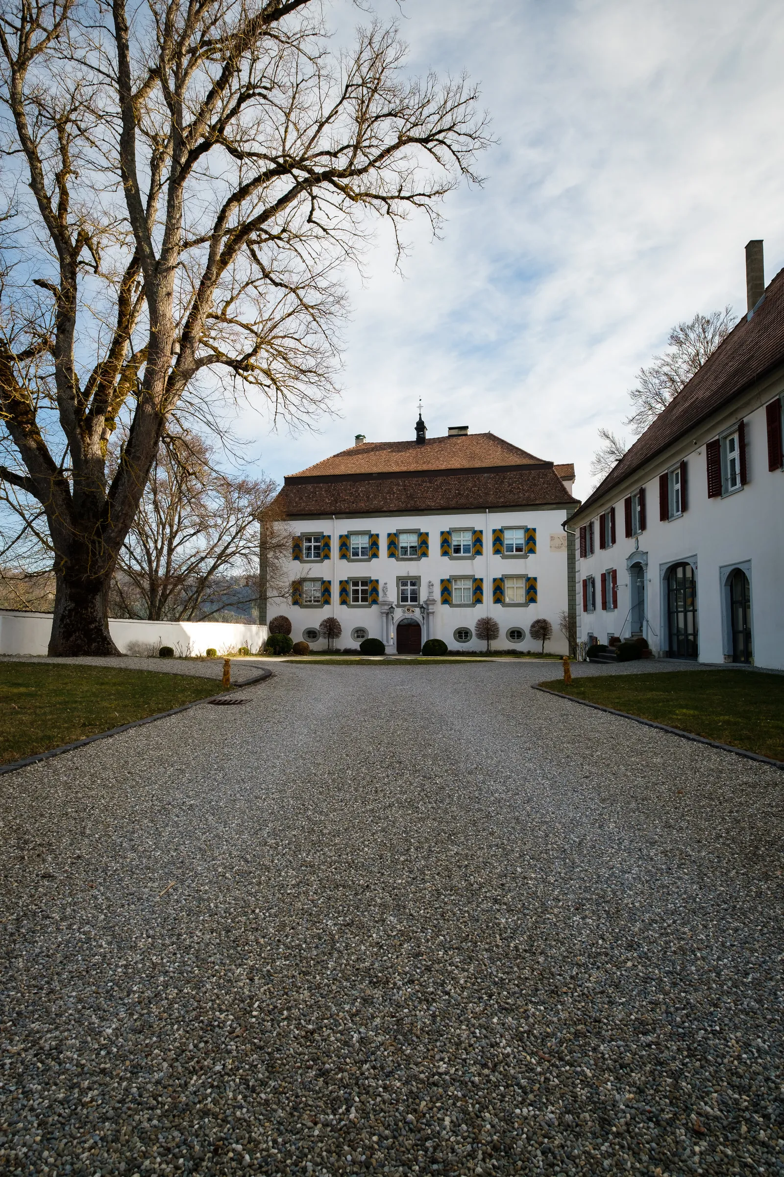
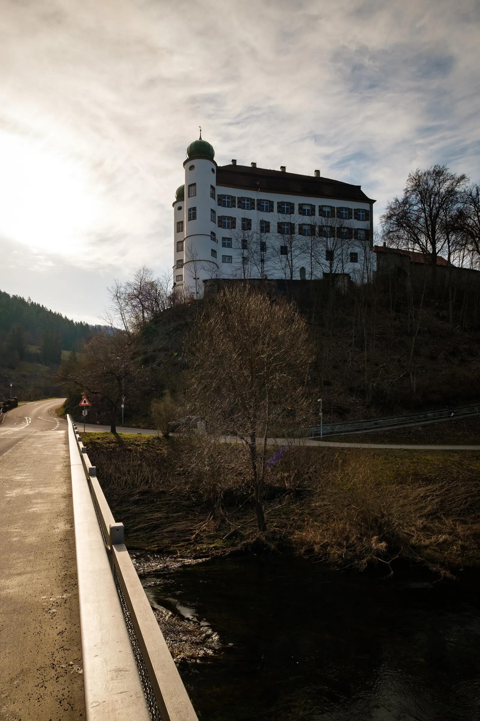
From there it is a thirty minute walk to the actual start of the trail, but we wanted to take the time to stroll throught the historic town center – which is pretty small, but nice nevertheless. The main attractions are the western city gate and the old castle, which is best viewed from the riverbanks below.
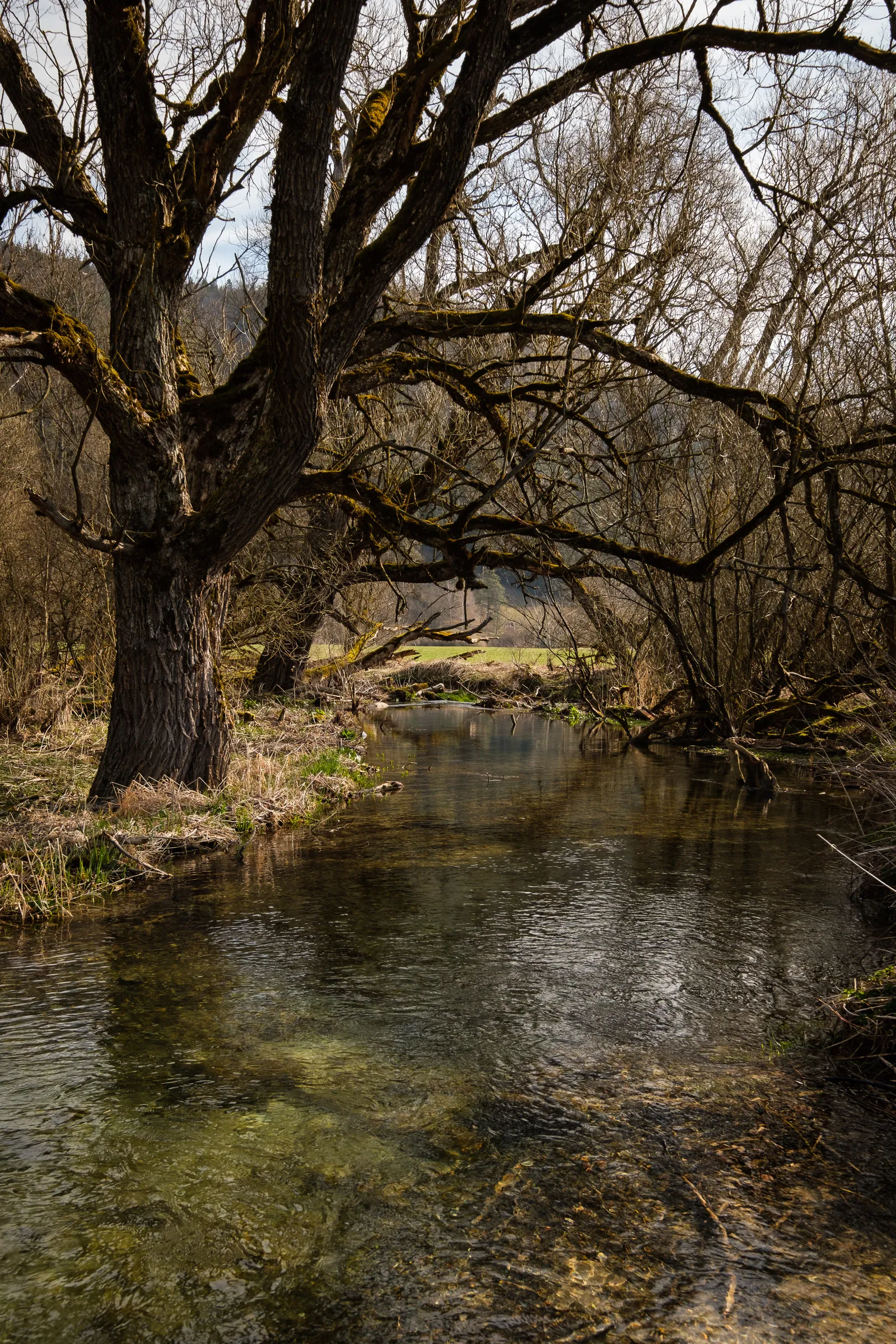
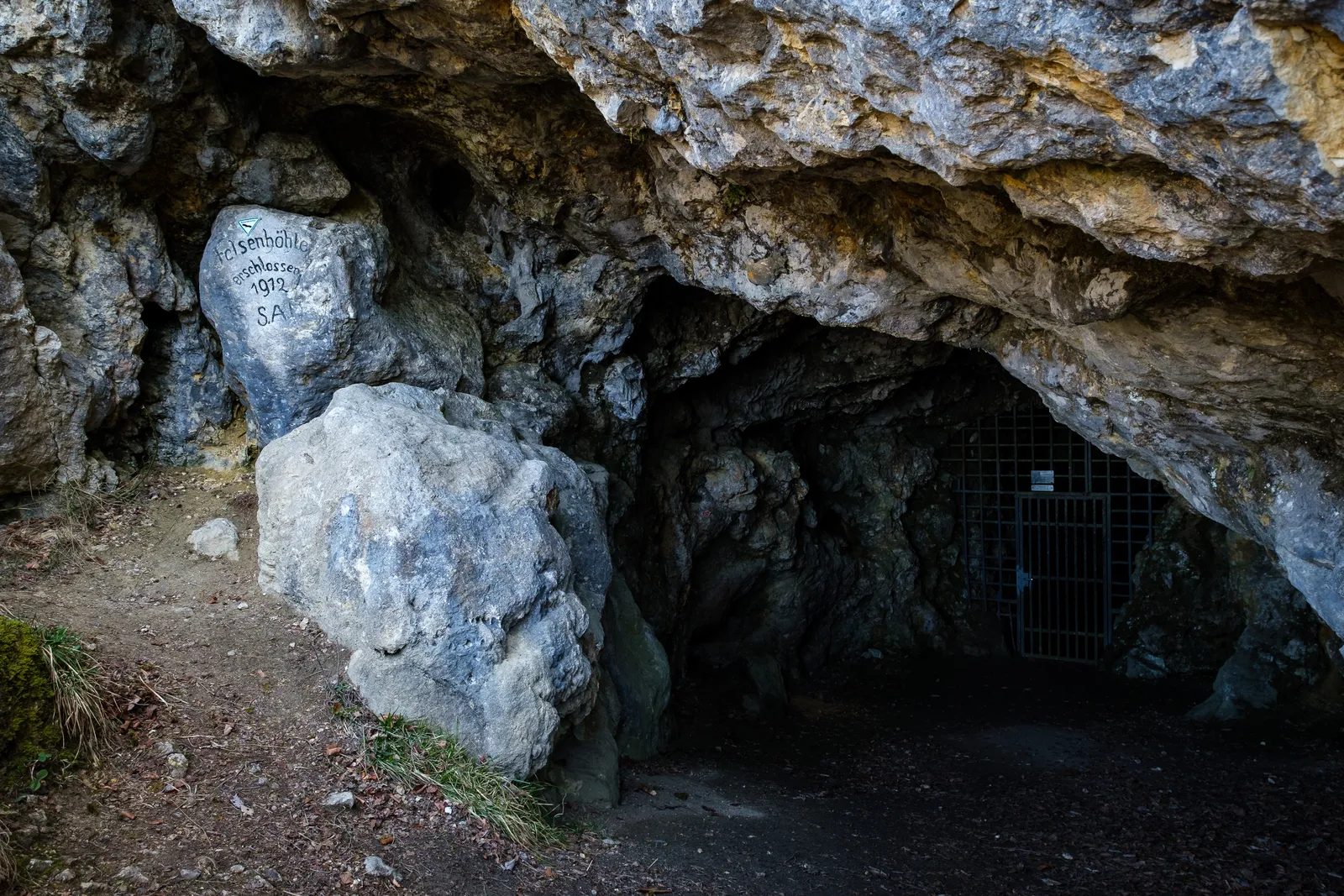
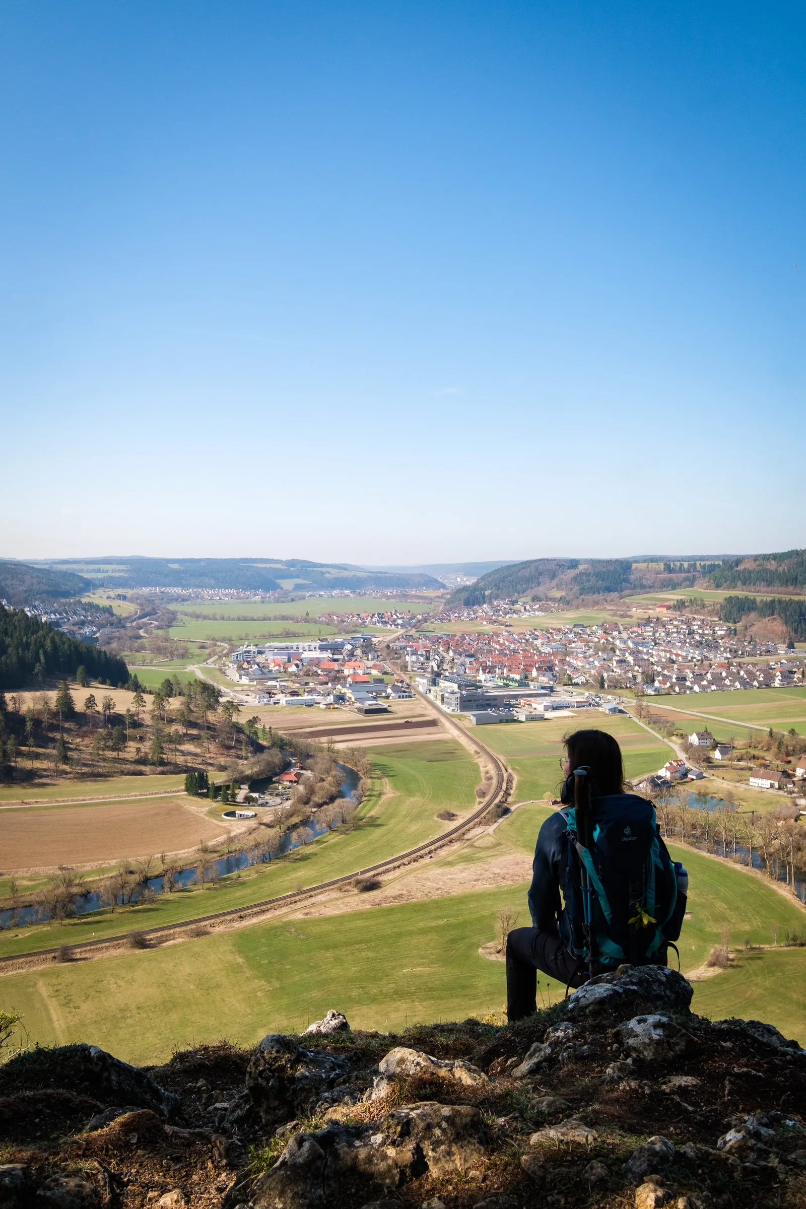
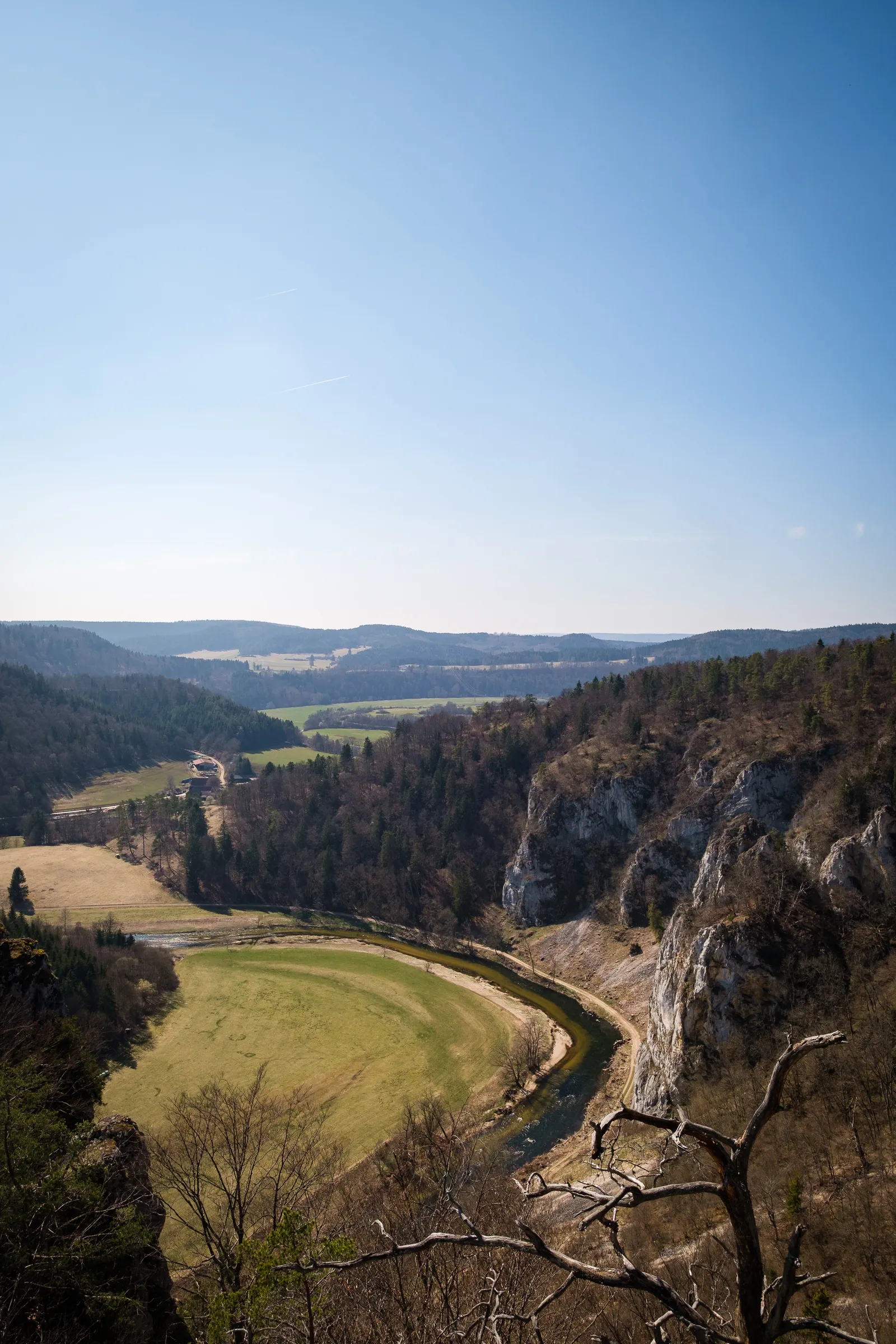
We crossed the Danube river and continued our walk, now through Mühlheim Unterstadt and then out of the city, through the tiny village "Altstadt". The trail took us on a loop around a small pond and by the Wulfbach – an old river arm, that is now just a shallow creek where a small population of bevers has found a home in recent years. Behind the tiny village, right beside the cemetary, a small footpath leads up a steep grassy incline. Down at the beginning of the path a sign marked the official start of the section of the Donauberglandweg. We followed the narrow path, which in places felt almost alpine and got really steep, up until we came to the Mühlheimer Felsenhöhle. The cave is unfortunately closed with a gate and can only be visited with a guided tour, which needs to be booked in advance, so we continued up and soon reached a plateau. A signposted viewpoint named "Gelber Fels" (Yellow Rock) grant great into the Danube valley, towards Mühlheim.

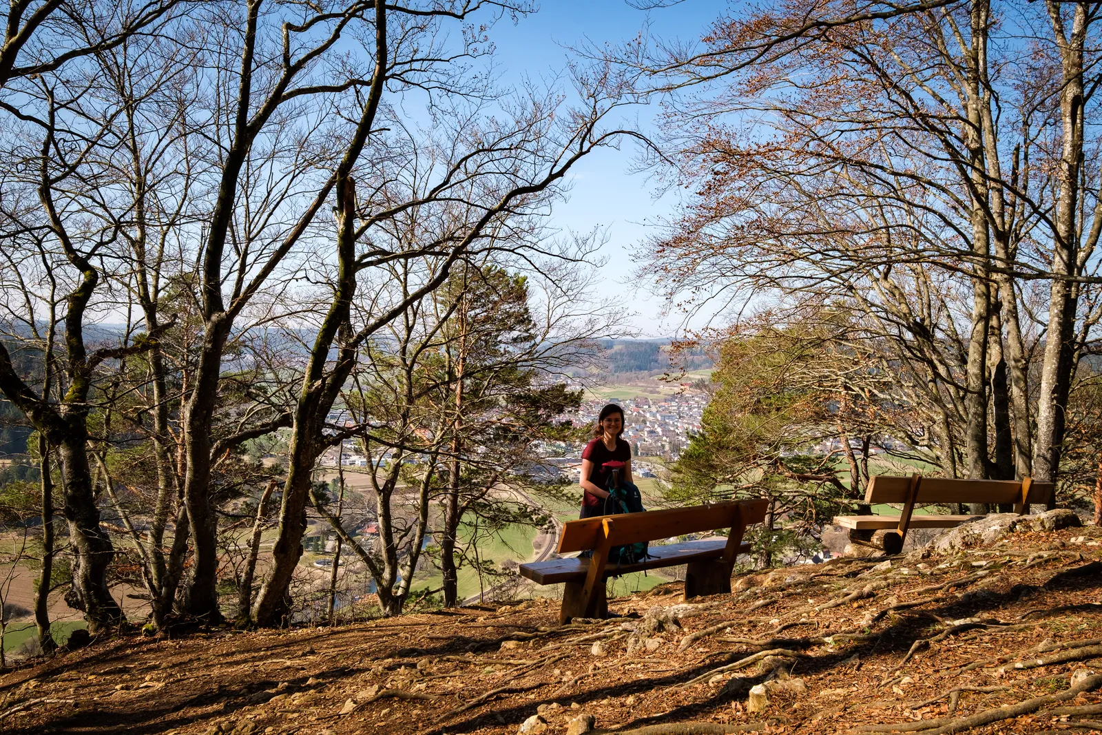
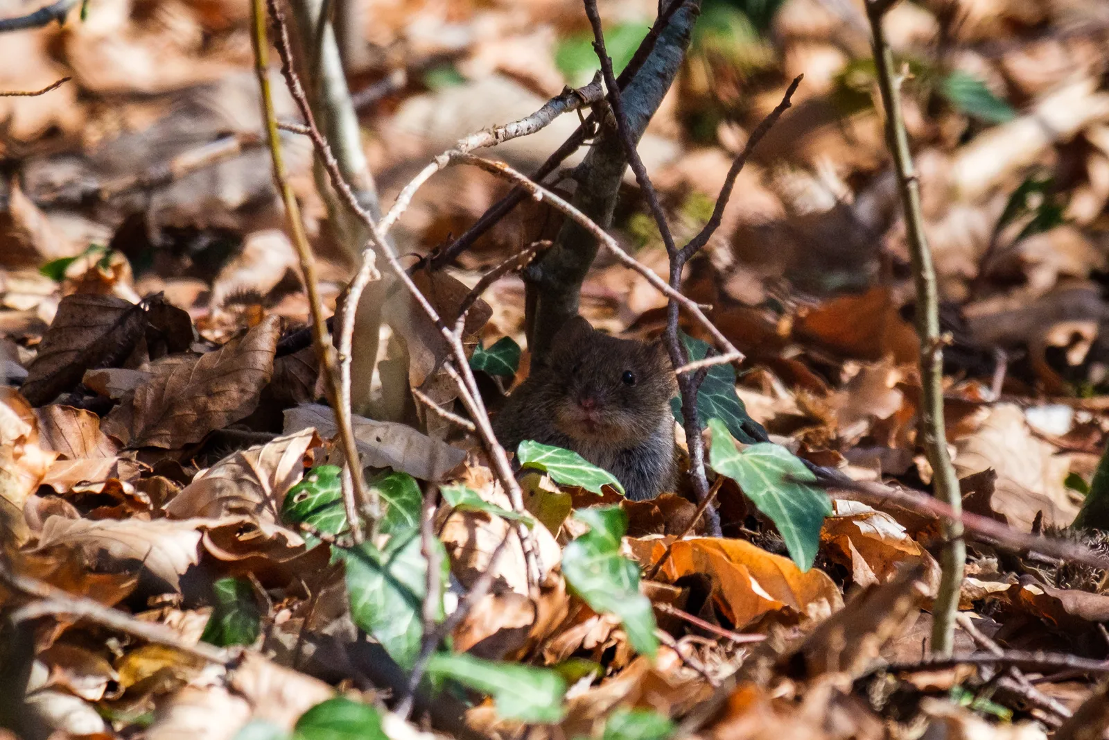
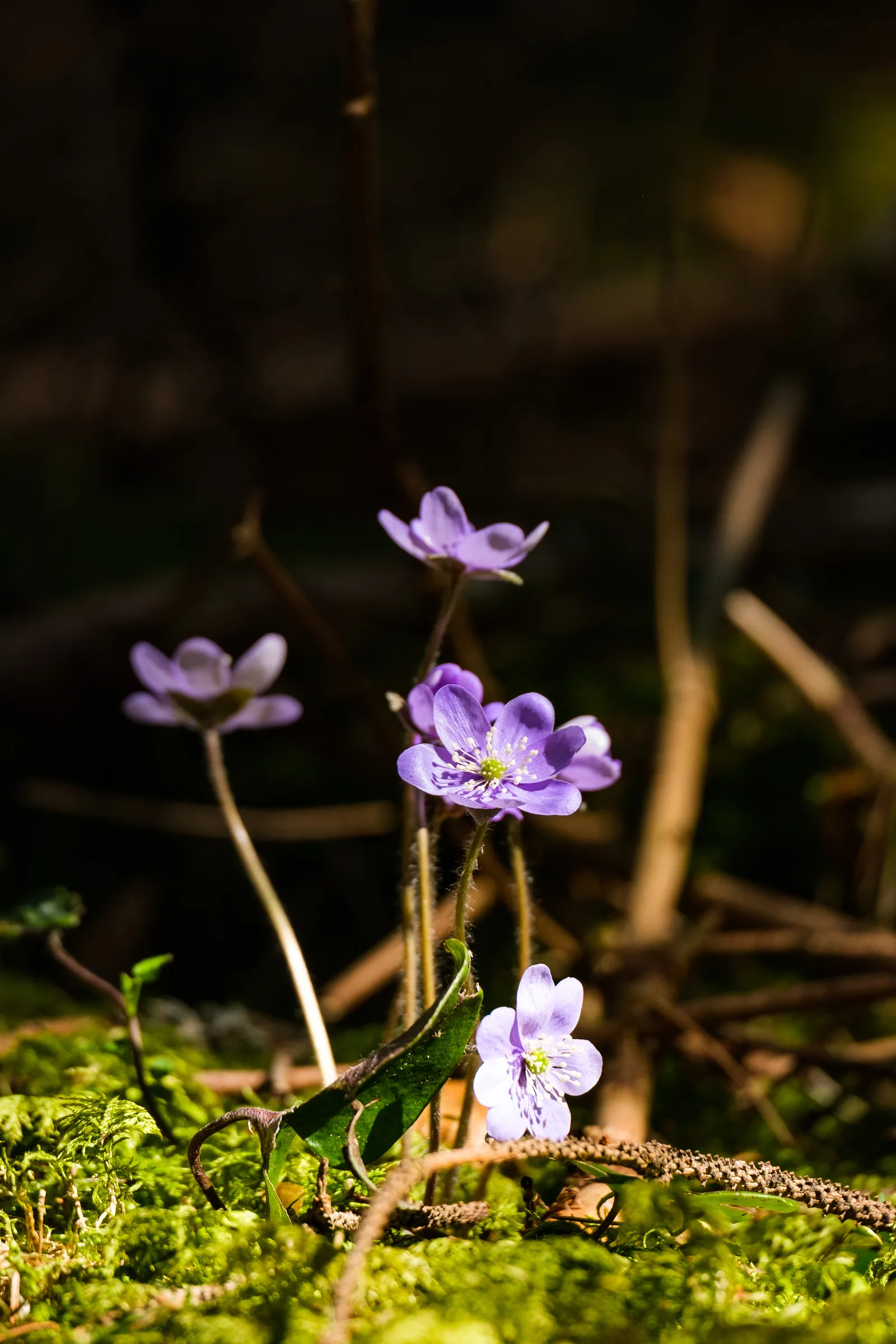
The trail on the plateau uses mostly forest roads, leading into the Hintelestal and then towards the Kolbinger Höhle – yet another cave, which during summer is open for guided tours, but was closed during our visit. Along the way different stations of a forest nature trail playfully teaches children about the ecosystem of the forest. We enjoyed it, too. While walked we also heard and saw a whole bunch of mice in the fallen leaves on the ground along the way. And even managed to take a few photos of the little critters.
Once we had passed the Kolbinger Höhle, we came onto a stretch of trail that we didn't enjoy too much. New gravel had been brought out onto the forest road and made walking on the uneven surface very uncomfortable.

Soon after the uncomfortable stretch we reached the Gansnestturm and were rewared with another great view. From the top of the tower it was fun to trace our route and realize how far we had already come. Then we continued our hike on a very steep zigzag trail down into the valley, and into Fridingen.
Here we walked from the train station into town, just like the day before, and had to decide wether to continue the trail, or just return to our car, which was parked just a few hundred meters down the road. After all the rest of the trail would lead us from the valley up to the plateau again, and by the Knopfmacherfelsen, which we had already seen in the morning. We chose to continue anyways as we were not tired yet and it was still early in the day.
Through the town and then on a forest road we walked up the hill once again, and were suprised how soon we were done with the ascent and stood at the Knopfmacherfelsen again. The view was great, but not as great as in the foggy early morning hours – and of course now it was a lot more busy. Many daytourists stop here with their cars and motorbikes, and the restaurant situated right by the viewpoint of course makes the place a tourist magnet. We kept away from the crowds as good as we could, but did decide to spoil ourselves and get a "Donauwelle" Cake from the Berghaus Knopfmacher. A danube wave high above the river danube? Yes please!
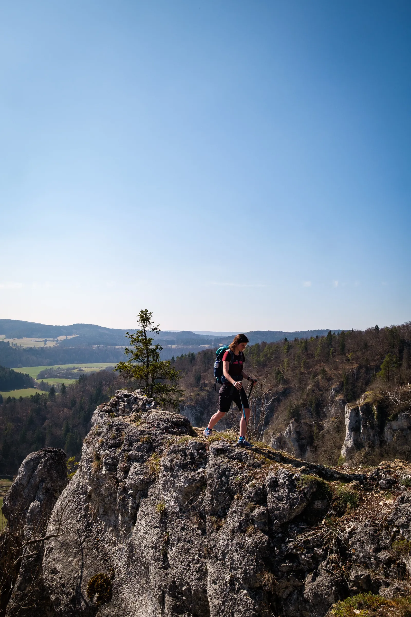
Once we continued we once again were almost on our own. The trail lead us across the plateau, to two more viewpoints, the "Stiegelesfelsen" and "Laibfelsen", wich looked out across the valley, towards the ruins of castle Kallenberg – where we had walked the day before. In our opinion those viewpoints were absolutely worth the detour from Fridingen, and we liked them even better than the Knopfmacherfelsen. Partly because they weren't as crowded, but just as much due to the fact that they are more "natural", rough and rugged and not secured with railings. A more pure experience.
After we had passed all the viewpoints it was just a short walk back down to Fridingen, past a small, old chapel, and then a stroll through Fridingen Oldtown until we reached our car again.
In conclusion: This section really nice. Most of the stretches are easy walking, some are especially pretty, like the path up the Felsenhöhe Mühlheim and the zigzag path down to Fridingen. Our highlights were the two viewpoints on the loop around Fridingen and we were super glad to have walked that second part of the section, it would have been a shame to miss it.
Details for section 3 of the Donauberglandweg
Distance: 14.5km (but took us 17km due to the extra km when taking the public transport!)
Ascent: 450m
Descent: 550m
Duration: ca. 4.5h (but took us about 5.5h due to the extra km)
More information and a description of the tour can be found on the website of the tourism association Donaubergland.
Leave a comment