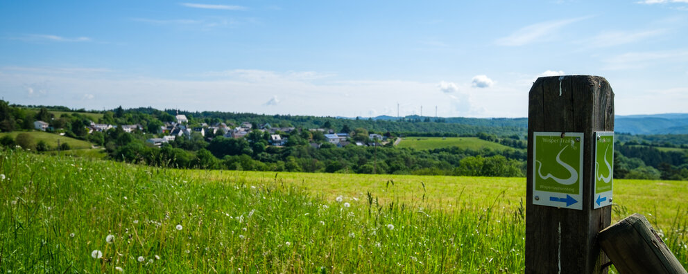
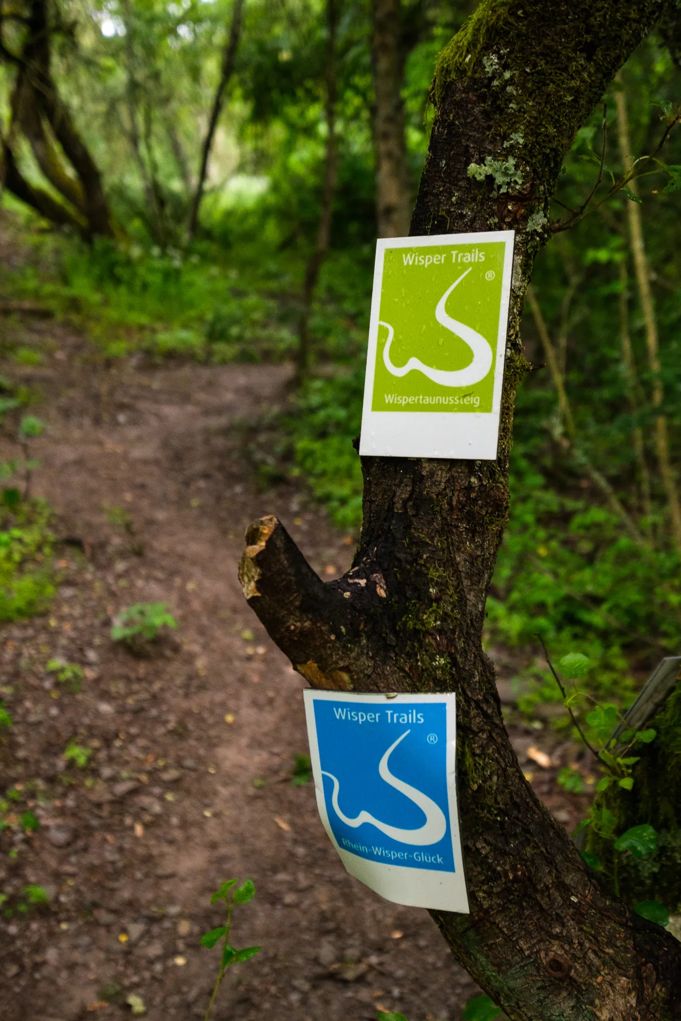
Wispertaunussteig - Espenschied to Lorch
In the morning we all woke up early, despite still being tired. It had been too warm in our tents and sleeping bags, and sleeping on the not so silten NeoAir sleeping mats is always a bit hard during the first night in the tent anyways. We tried to wake ourselves up with some breakfast before packing up the tents and continuing the trail.
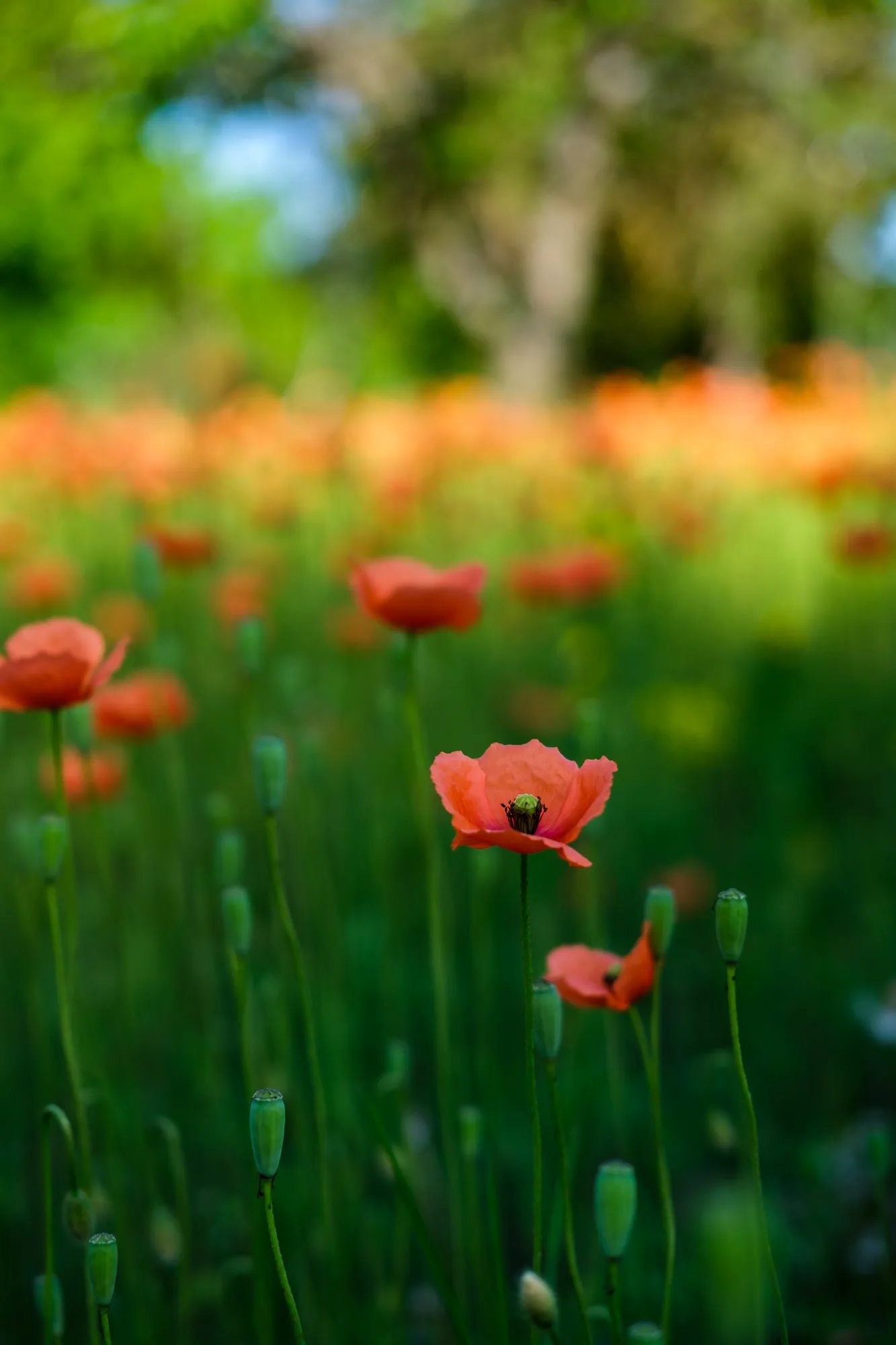
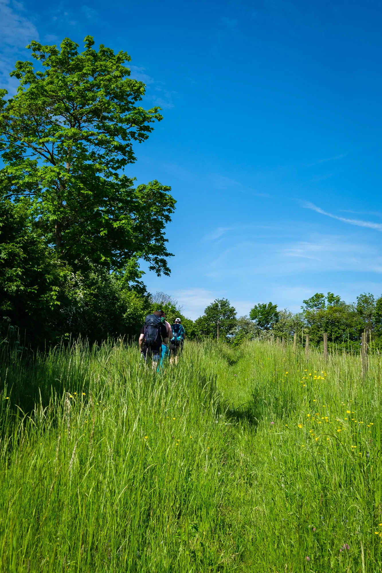
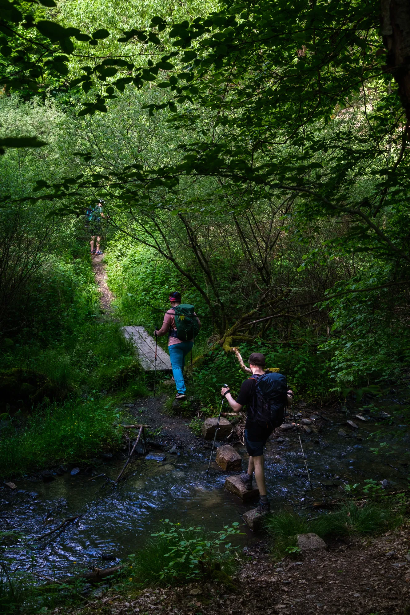
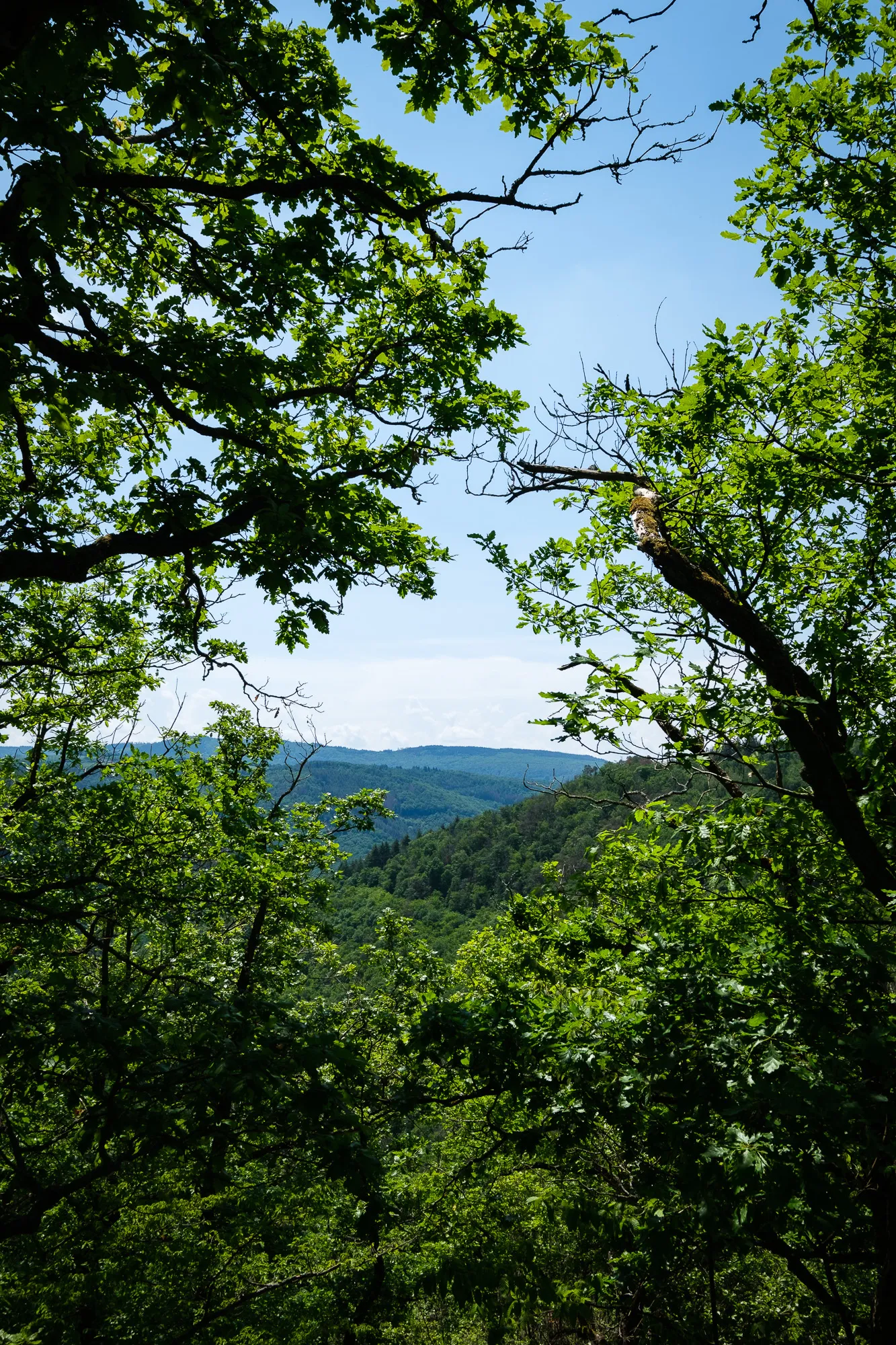
The first part of the trail out of Espenschied lead along the Wispertalsteig, which we had walked last year – only the other way round. We first walked out of the village across flowering fields until the trail entered into the forest. Luckily because the sun was already burning down onto us and we were happy about the shade under the trees. Through the forest the trail steeply descended down into the valley to the Werkerbrunnen. After a few meters on a forest road, another small path branched off and led across a small hill. A short time afterward we crossed the Werkerbach. Instead of a bridge big rocks laid in the river. Those nice little details really make the trail special.

The day was pretty hot and the temperatures were wearing us out more than the trail. About halfway up the ascent towards Ransel we took a short break in the shade. We had already used a lot of the water we carried and really hoped for the chance of a refill in the village.
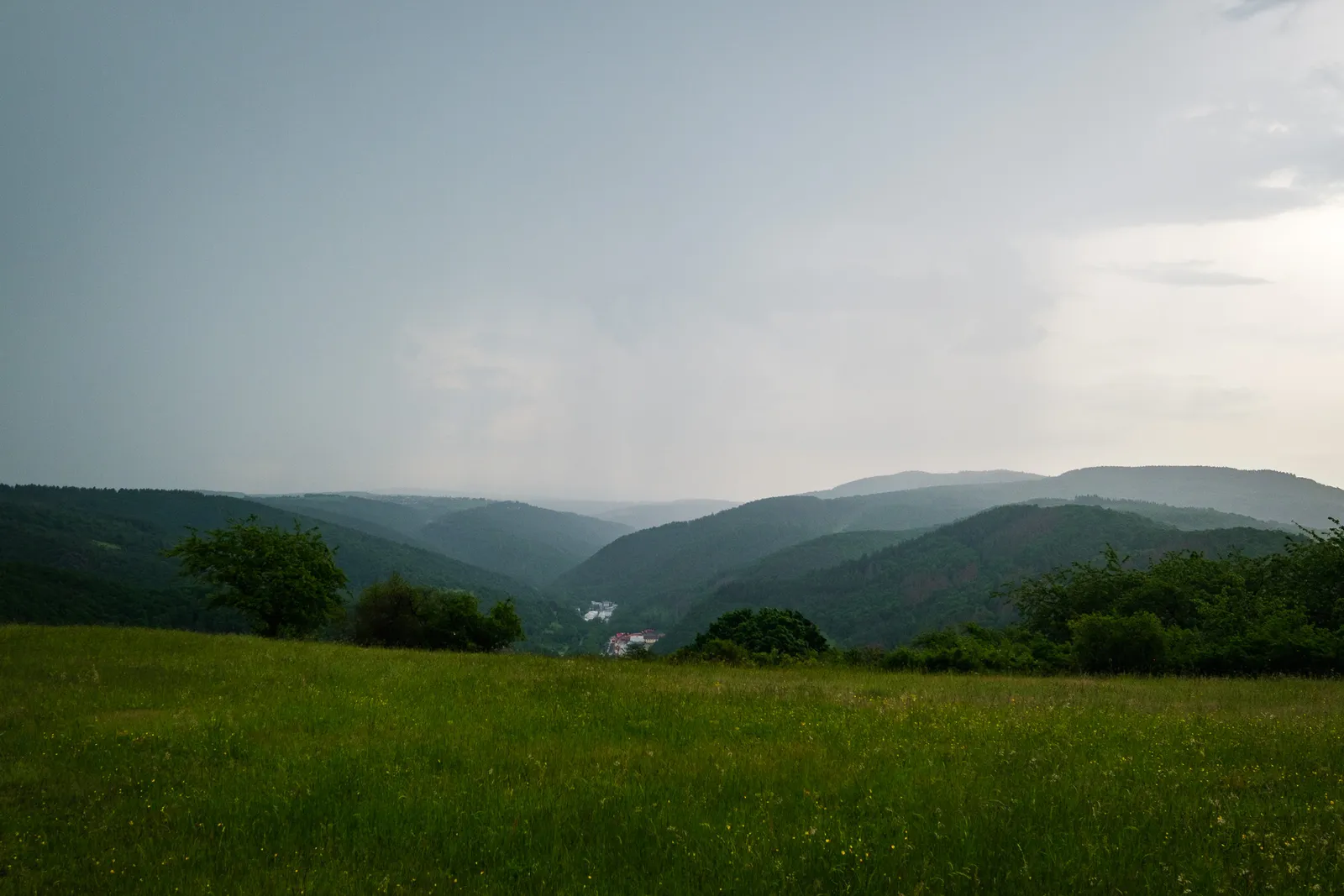
Only a few minutes after our break we reached an information sign proclaiming that the small viewpoint to our right was a former "Blidenplatz" - a place where historically catapult-like machines were stationed. It also informed us that out trail currently also formed a part of the "Rheingauber Gebück-Wanderweg", a trail that follows a historical border line that was fortified with a wall made from interwoven trees. How strange is that? Above that place the forest grew a bit more dense and spotted a lot of mossy rocks on the forest floor. Unfortunately the beauty if the nature surroundings us got a little bit lost as we just walked along, wanting to get to the next town to find some cold drinks. In retrospective we're a bit sad, because this was really a very nice section of the trail.
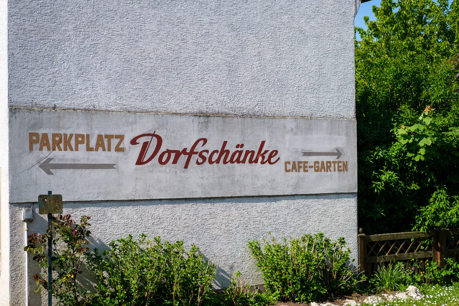
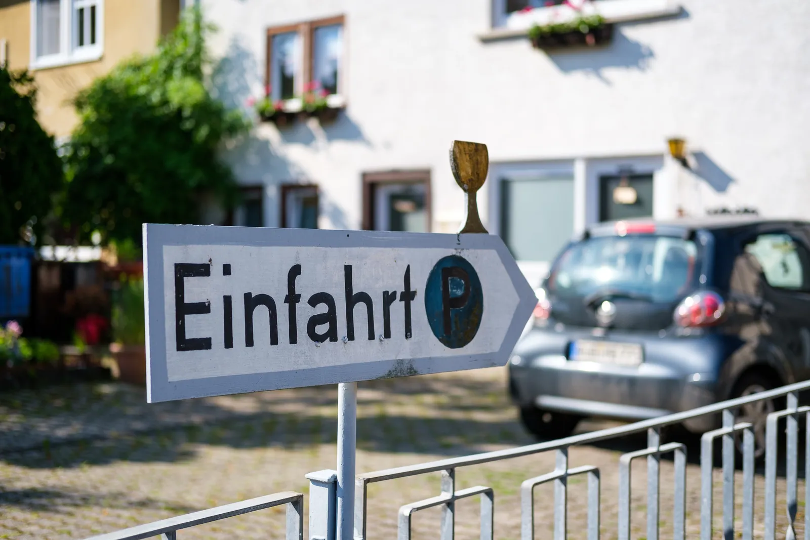
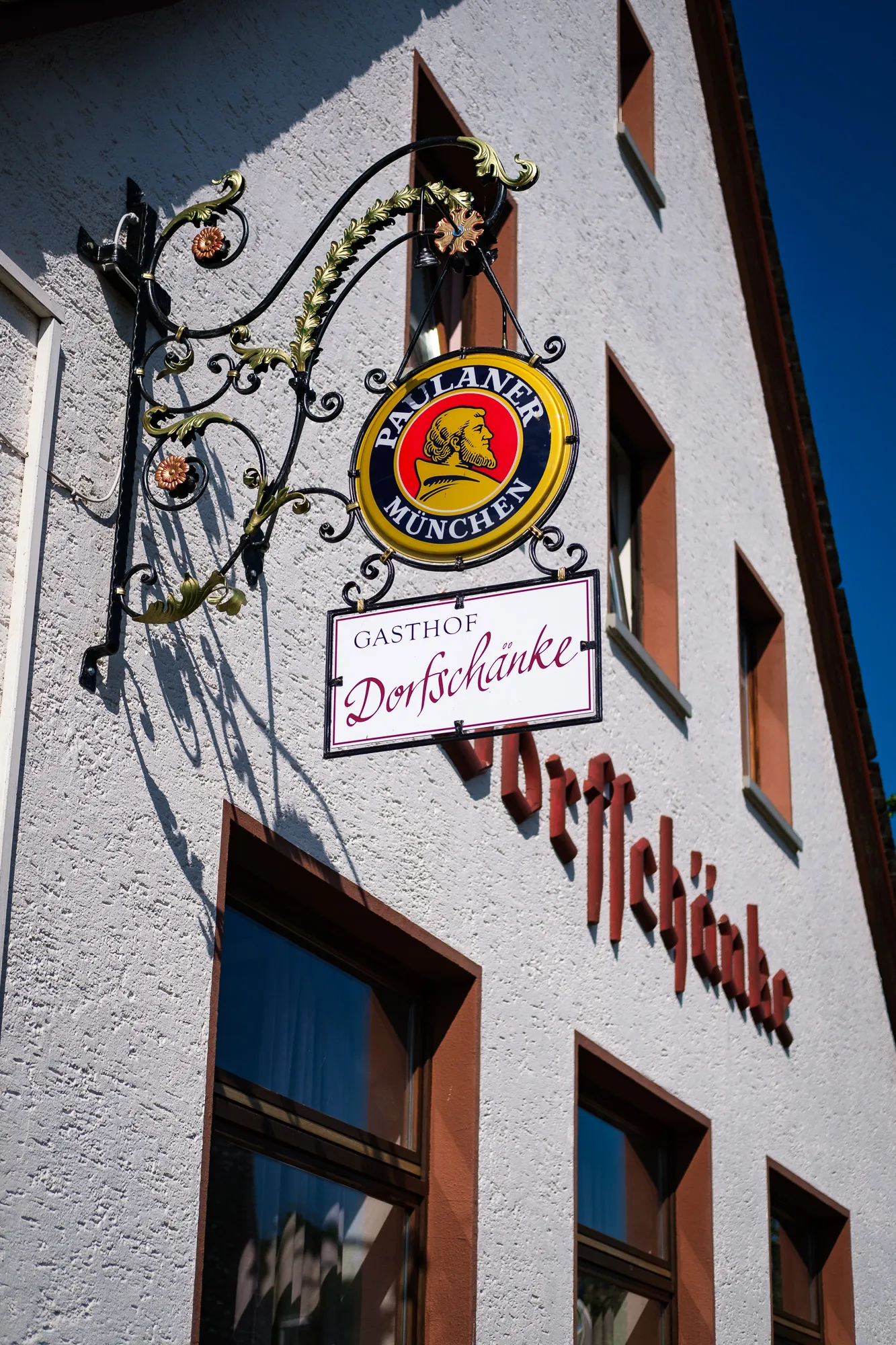
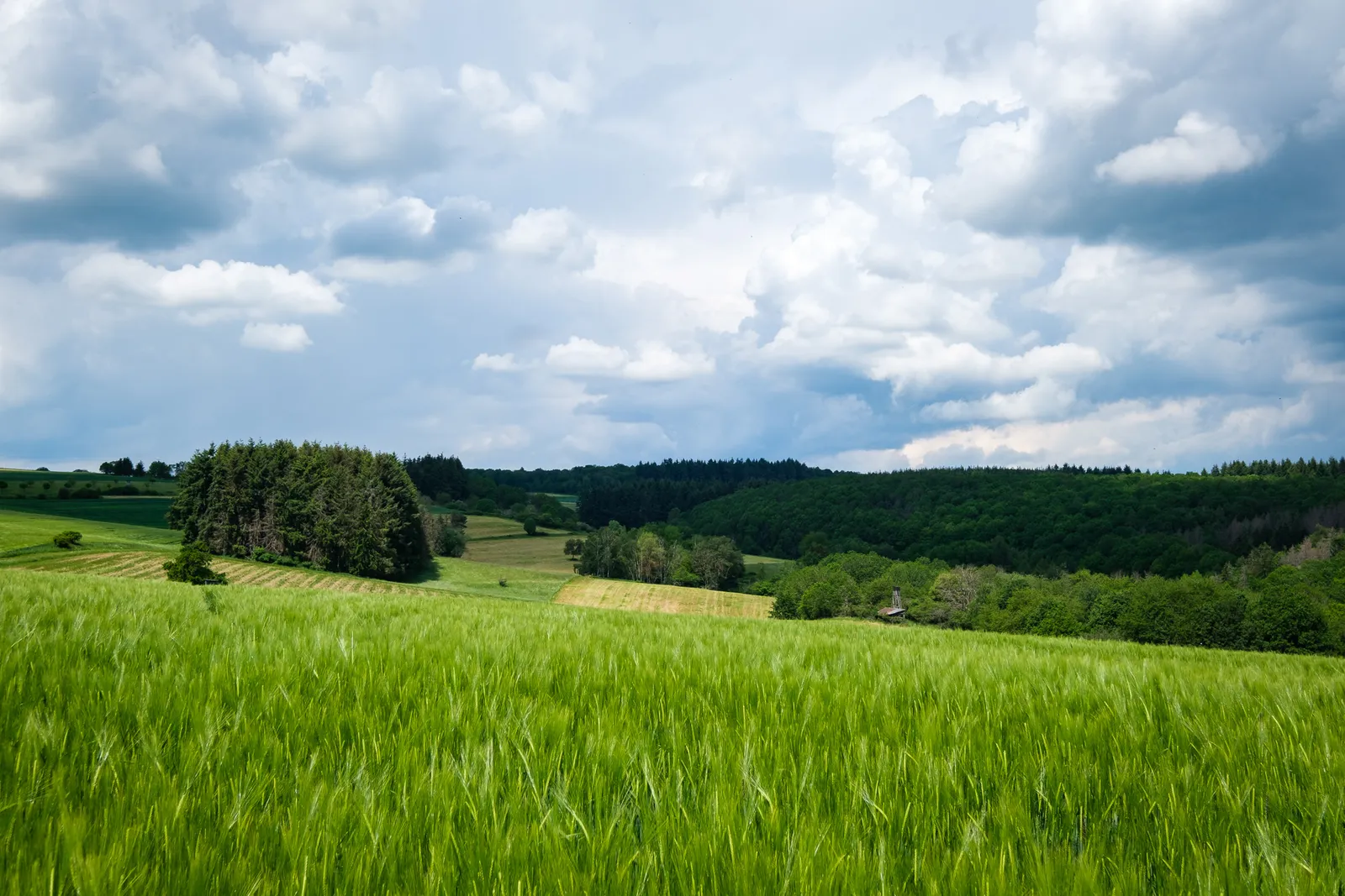
At the time we were happy once we finally left the forest and walked towards town along farming fields and flowery meadows. Once reaching the first buildings of town we already saw signs pointing us towards a kiosk selling cold drinks and food. After passing by a museum yard with lots of old farming equipment on display, and the "horse parking lot" of the museum, the kiosk came in sight as well, and we gravitated towards it to refresh ourselves.
Through Sauerthal and towards the Sauerburg
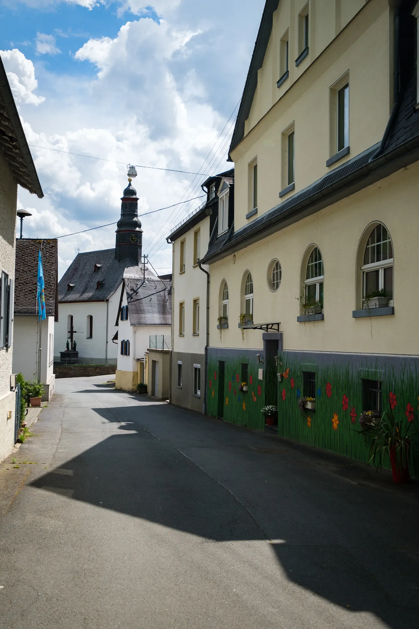
After some rest in the shade we were all motivated to tackle the second half of today's trail section and walk through to Lorch. The Wispertaunusstrail first led us along the edge of the town, then down towards the tiny town of Sauerthal on broad forest roads. Sauerthal is tiny, it seems to only be made up of one real road, but it's really scenic and sports a historical well which is (or used to be) famous for it's water that was said to have healing powers.

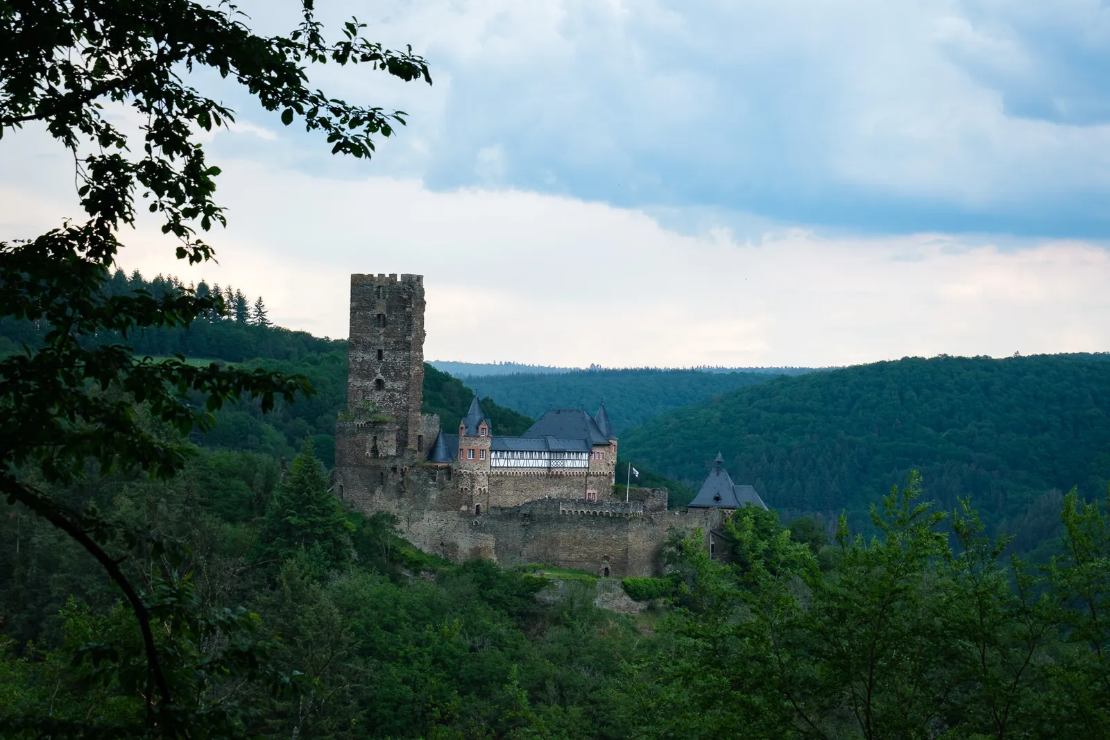
While walking through the village, clouds were starting to form above our heads and it started to look like a thunderstorm was coming. When we had just left the village and started into the forest again, for the last uphill climb of the day, the first thunder rumbled in the distance. Immediatly we could also finally feel a breath of fresh air, and even though being out in the forest during a storm is always a bit strange, we felt relieved by cool wind. With the sun being hidden by the clouds, and winds picking up due to the weather change, this last ascent was much easier than the ones before. On our walk up the forest road we were granted picturebook views onto the Sauerburg, situated on a hill above Sauerthal.
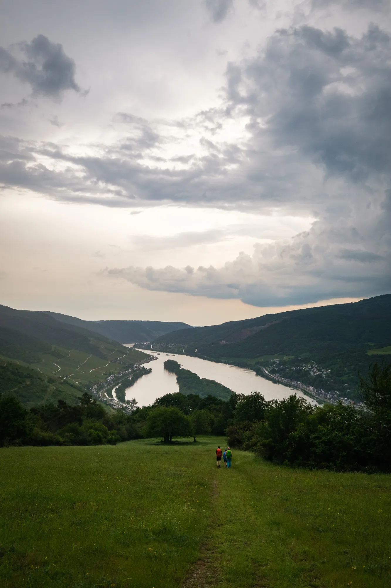
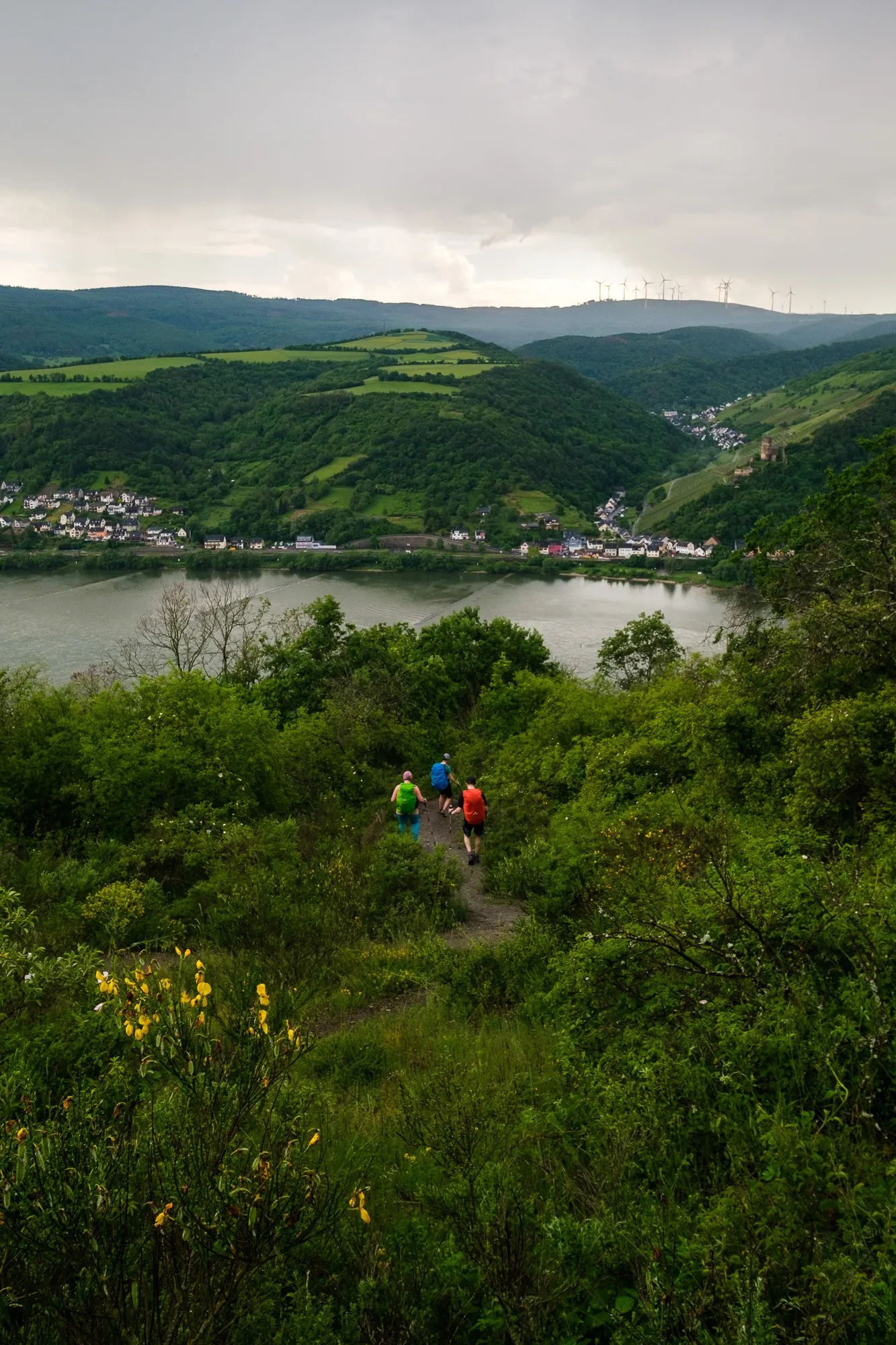
Views into the rhine river valley from Nolling nature reserve
Just when we were taking some pictures of the castle across the valley, it started raining. At first just a few drops, but once we continued walking it started to turn into a downpour. We had expected for it to be a short shower and then stop again, but that expectation was wrong - instead the rain stayed with us along the way until we stepped out of the forest above Lorch, reaching the nature reserve Nollig. Here it finally started to clear up a bit and the shower turned into a light drizzle again, so we did get to enjoy the views from the plateau down into the rhine river valley. So the trail did stay spectacular down right to the end. It certainly isn't by coincidence that the rhine river valley was declared a UNESCO World Heritage Site.
The Wispertaunussteig itself had a little suprise in store for us too. The steep descent down into the valley to Lorch led us on small, rocky paths that are partly even secured with ropes. The slate surface turned out to be quite slippery too, so this path is probably a better choice during dry wether. In any case good shoes and a fair amount of surefootedness are advised for those who want to take the small paths here – for all those that don't there is a detour.
After this last little adventure our 24km trailsection, and of course the Wispertaunussteig itself, ended in the town of Lorch in a parking lot. We were wet and tired, but also incredibly happy - this is what hiking does to you. We will definitely live on the memories of this beautiful two day tramp on the Wispertaunussteig.
This post described our experiences on the second section of the Wispertaunussteig. To find out more about our first day, read our report about the first section of the Wispertaunussteig from Kemel to Espenschied.
Leave a comment