Abel Tasman
Many people told us that we needed to hike at least a bit in the Abel Tasman Region, so we planned two days in the area. One getting there, one on a day hike and then leaving the day after.
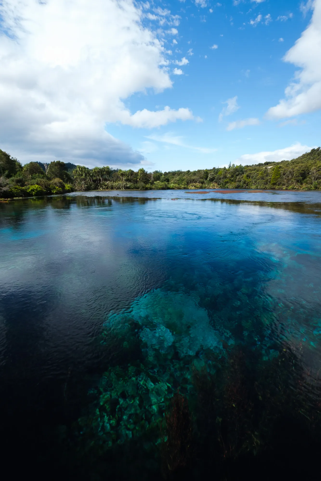
On the afternoon that we got into Abel Tasman Region we didn't do much at all, because we really need a bit of rest. We pretty much only drove up to the Holiday Park in Pohara that we had decided to spend our two nights at, then visited the Te Waikoropupū Springs.
The water there is incredibly clear and you can see right to the bottom of the lake they form, while underwater vegetation is bright and colorful, making it a really nice sight. Some of the spring vents whirl up the fine white sand at the bottom and make it move in the water, so they are called "dancing sands". Also the sheer amount of water that is discharged at the Spring is also really impressive - the information signs at the walkway suggested 14000 liters of water per second!
Since the springs are sacred ('tapu') to the local Maori the water shouldn't be touched. When we visited there, there were only very few people there, but of course we saw some that were disrespecful and stuck their GoPro under water. It's a shame. We can only say it again: Please respect local cultur and religion!

Daytrip on the Abel Tasman Coastal Track
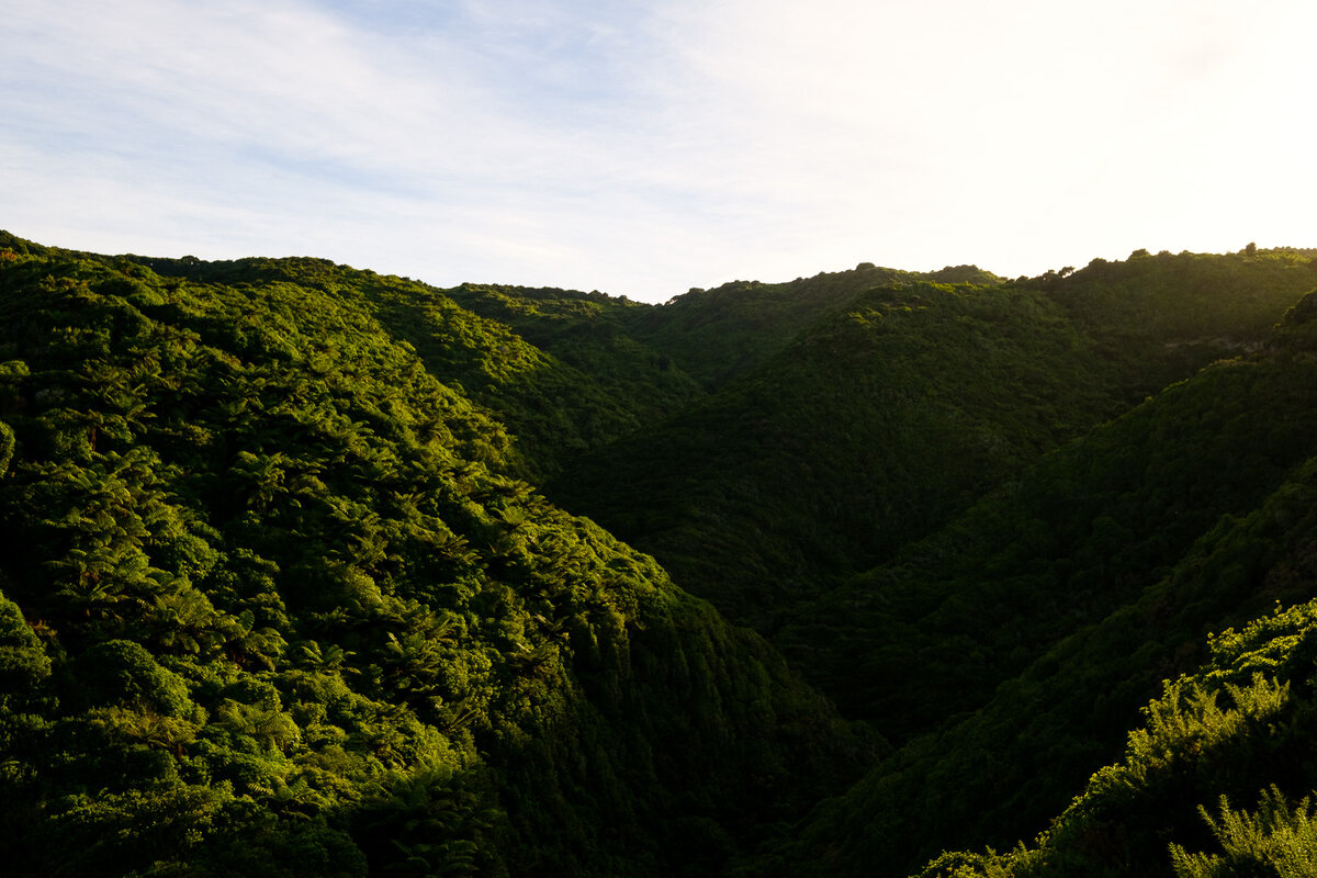
The next morning we got up early to get ready for a fairly long dayhike. The idea was to hike a stretch of the Abel Tasman Coastal Walk (another one of New Zealands Great Walks). Since we had to get back to our car, we had to make it a circuit - fortunately that was easy enough.
We'd be walking the Abel Tasman Coastal Track from Wainui Bay, past the Whariwharangi Hut, Separation Point and the Campsites Mutton Cove and Anapai Bay to Totaranui. From there we'd turn onto the Gibbs Track, which is Part of the Abel Tasman Inland Track, and return to Wainui Bay via that.
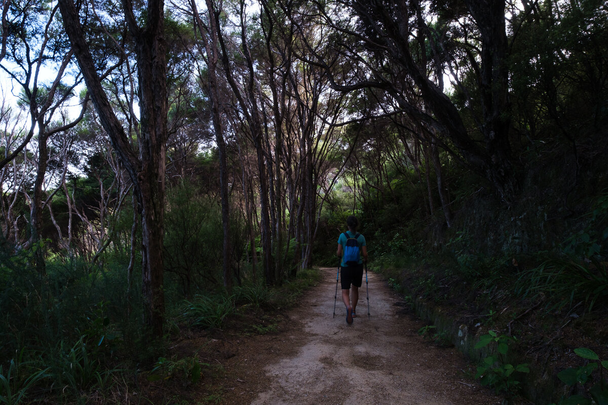
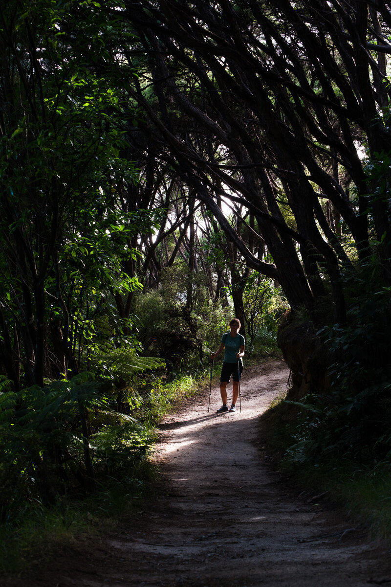
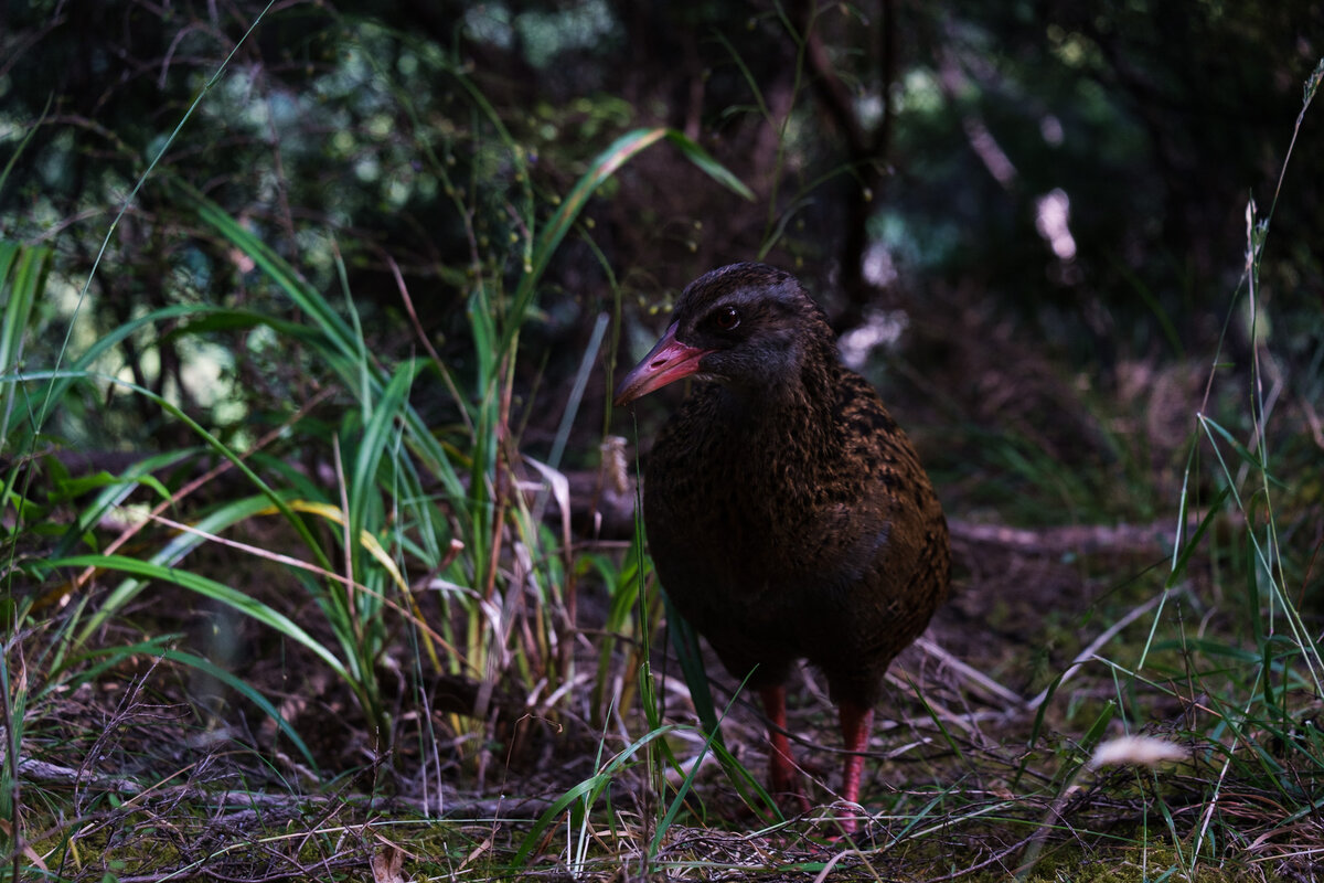
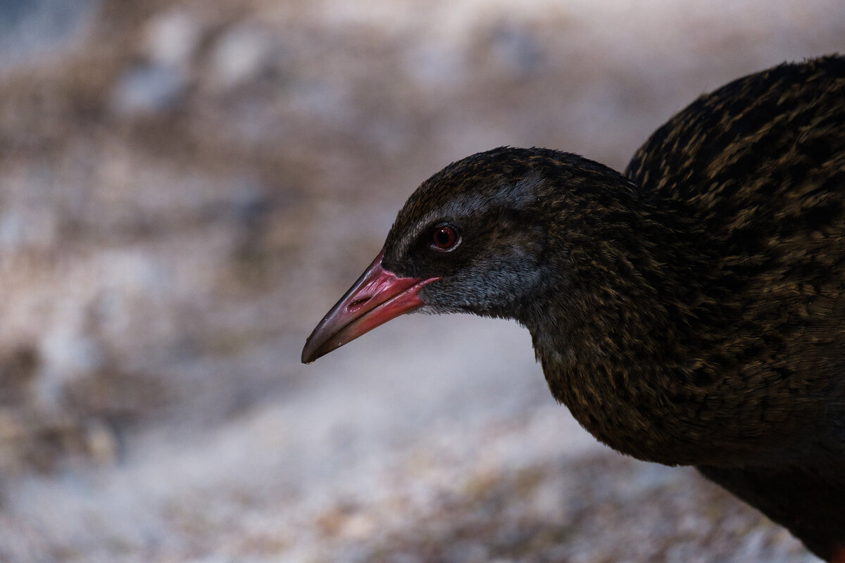
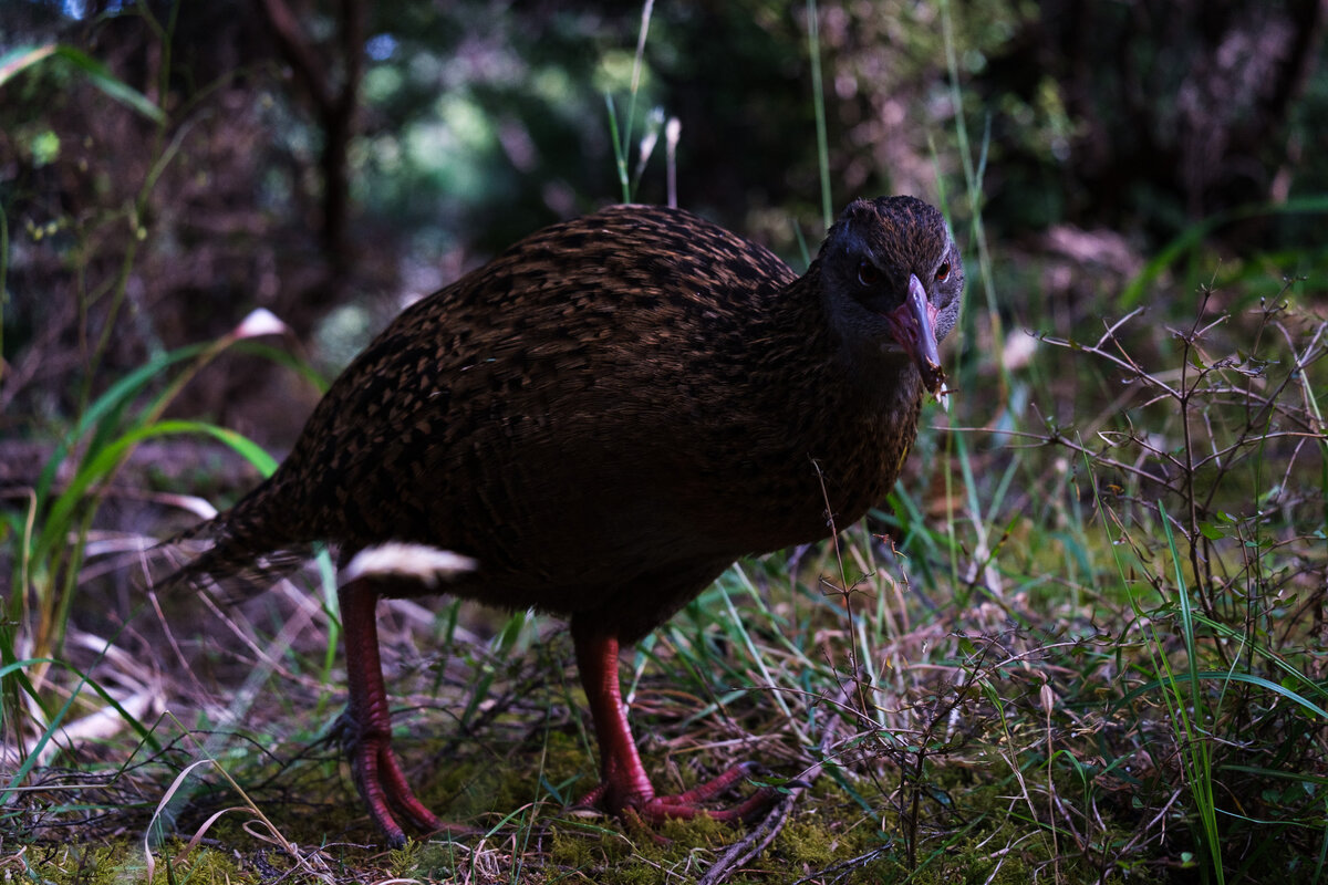
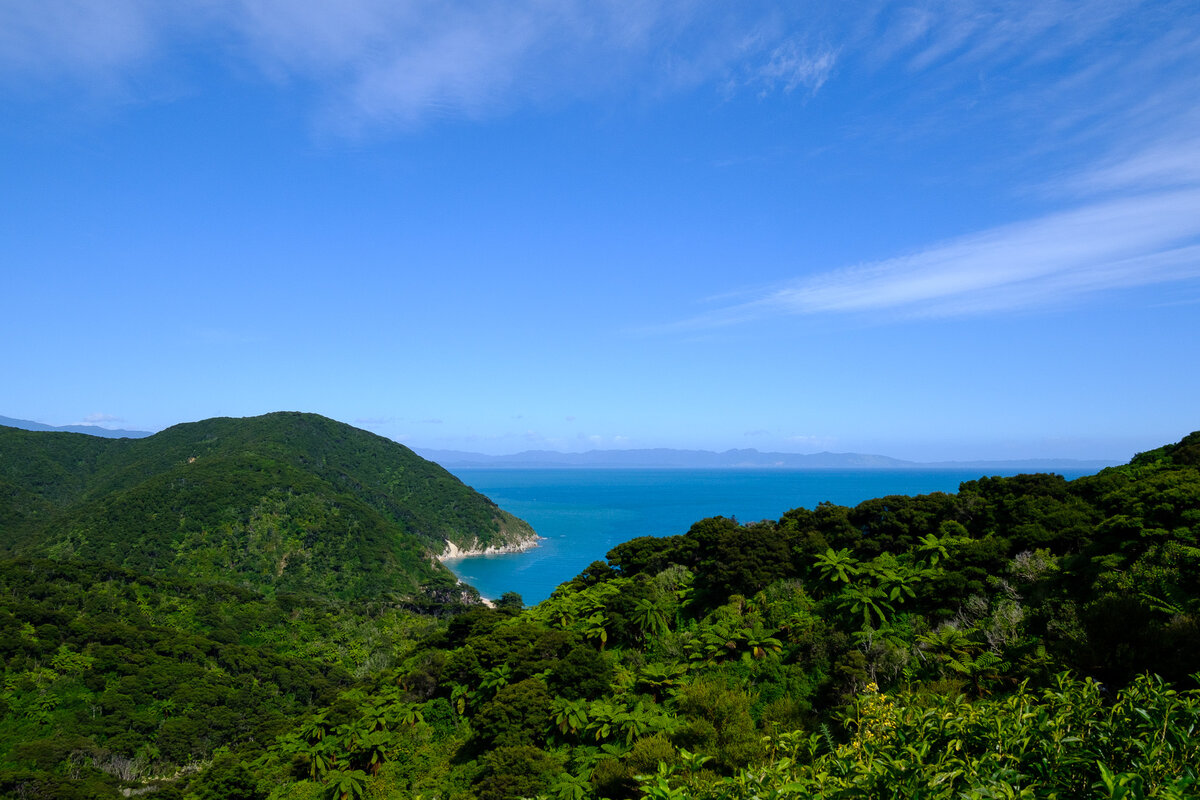
The first stretch to Whariwharangi Hut was a really easy bit of walking on a wide path through lush, green forest with lots of tree ferns. We also finally got to see our old friends, the Wekas again.

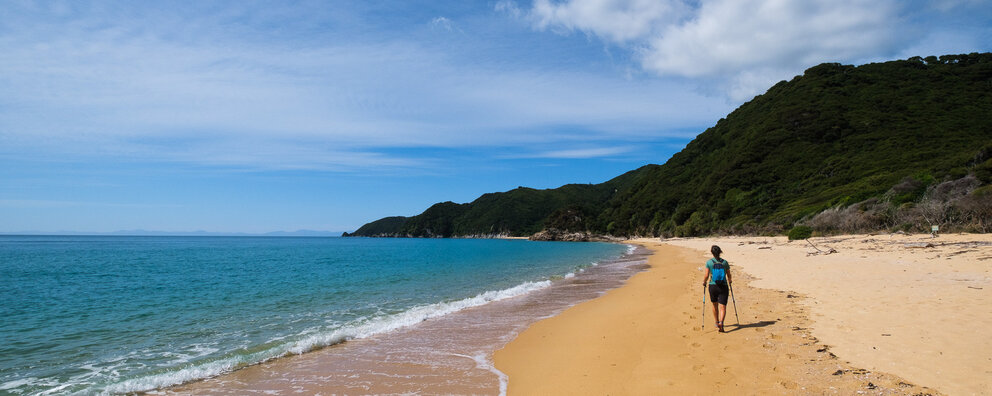
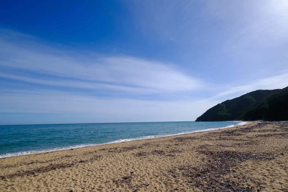
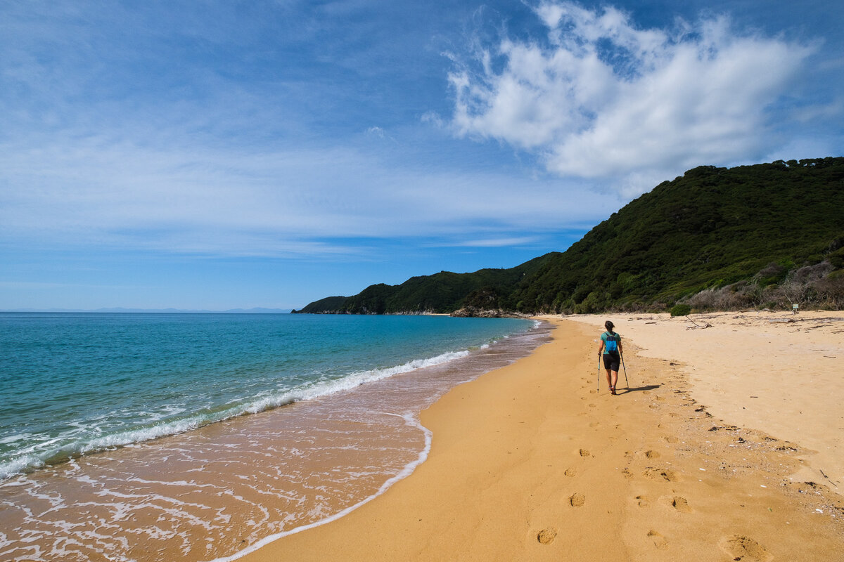
But once we were past the hut we came into different terrain - some of which we hadn't experienced on our TA sections. Walking along the golden beaches through the sand proved to be very beautiful, but also very annoying.
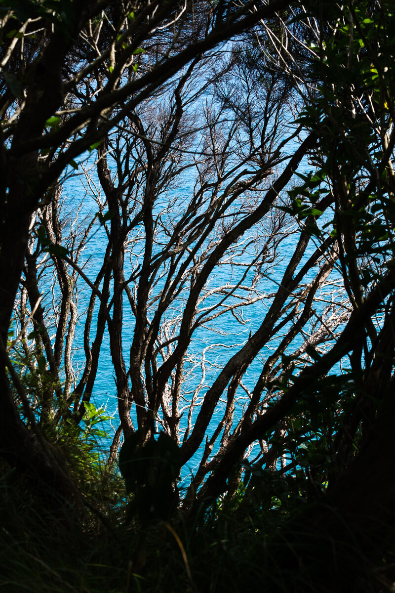
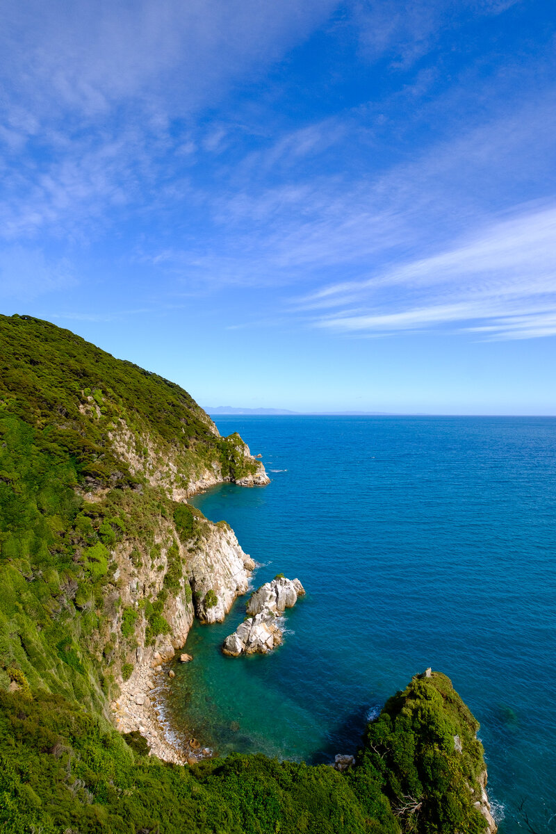
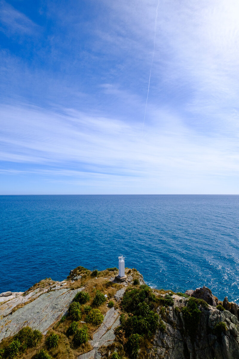
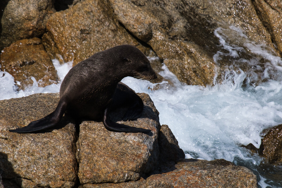
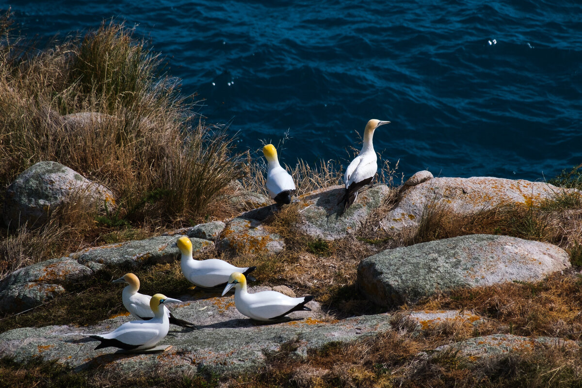
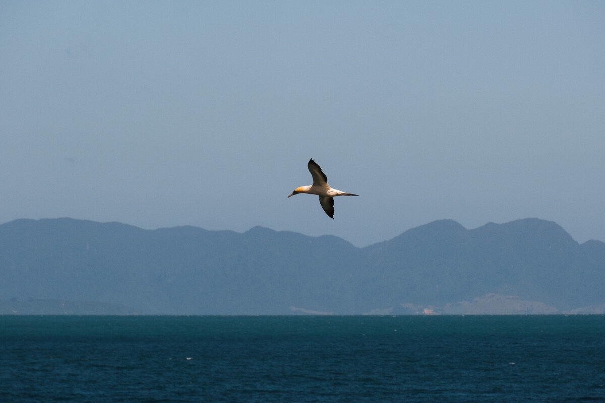
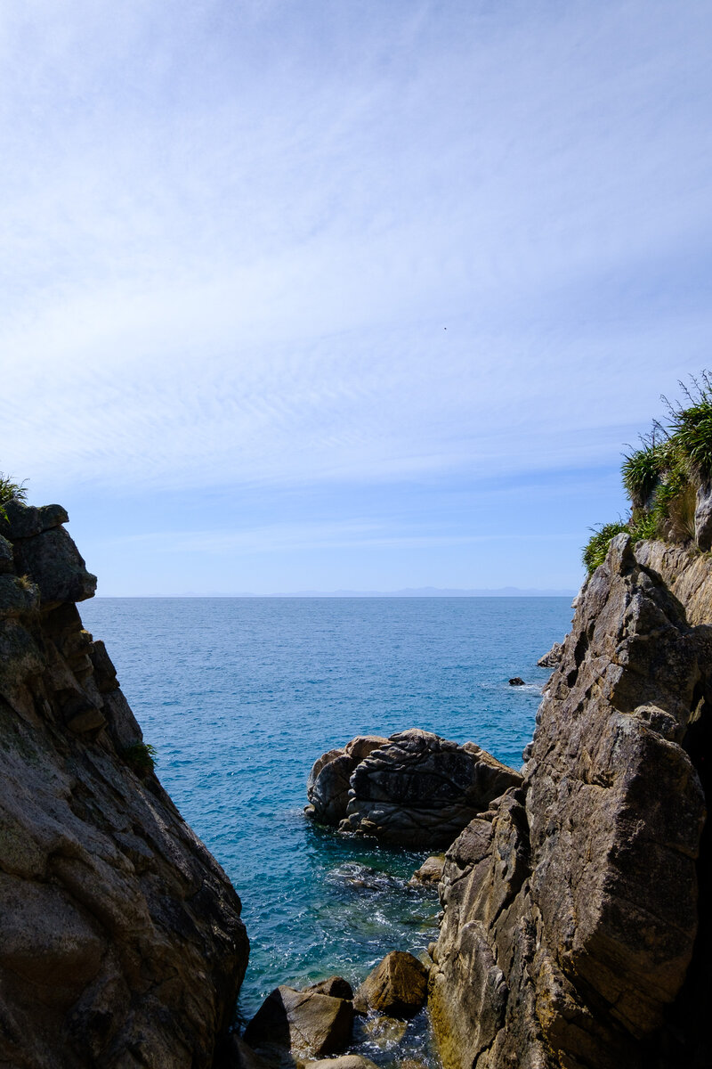
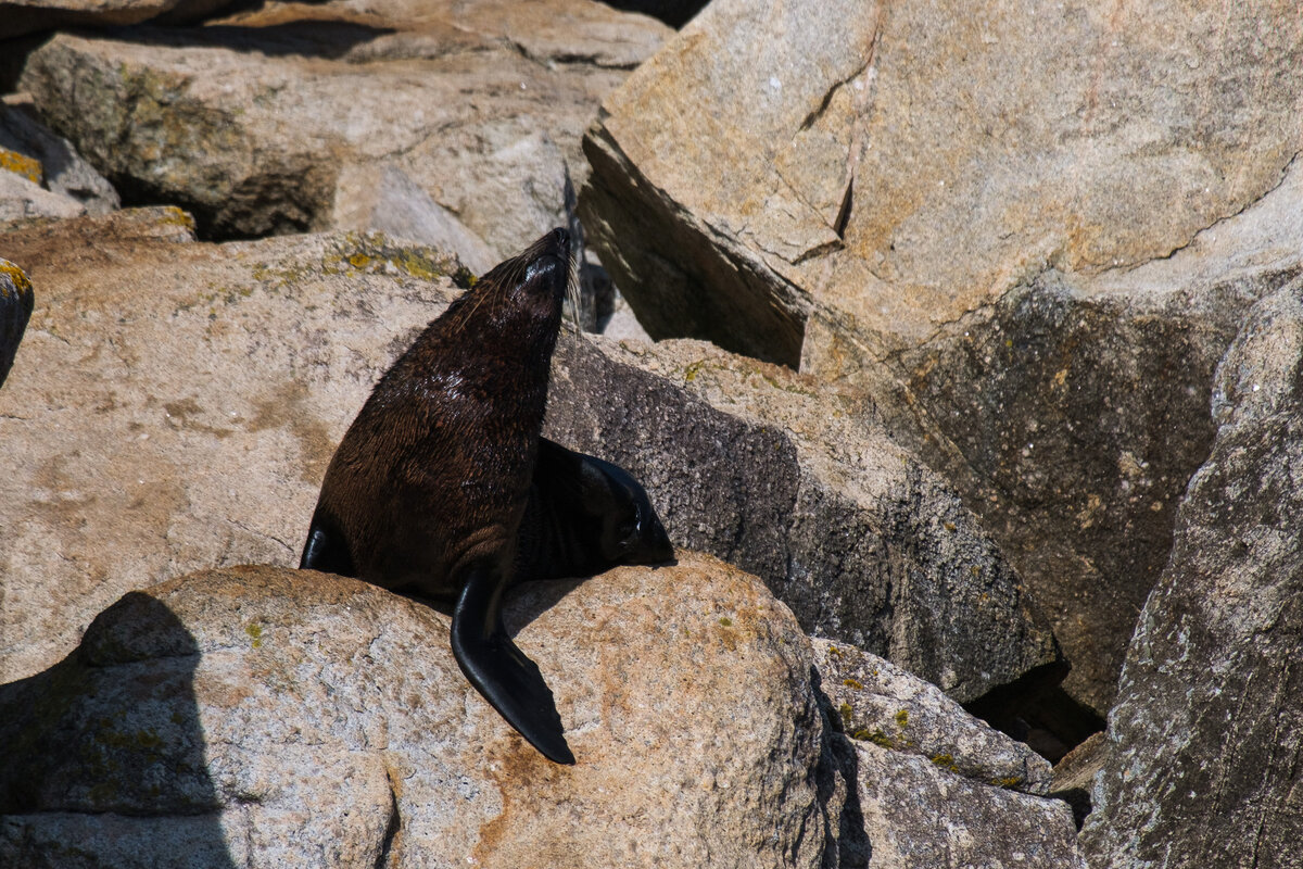
When the track suddenly split into one section leading right to the first great walk campsite at "Mutton Cove" and another going there, but past a place called "Separation Point", we decided to take the detour. We had really no idea what Separation Point was. But in the end we were super glad we went, because it's actually just a small landspit sticking out into the sea. But on it, we found a seal colony. And there was a DOC Project, trying to establish a bird population. That basically meant that they had put up a lot of plastic birds, and played bird sounds to attract actual real life birds. It was pretty interesting, especially since we really saw to real birds sitting inbetween the decoys and not minding at all.
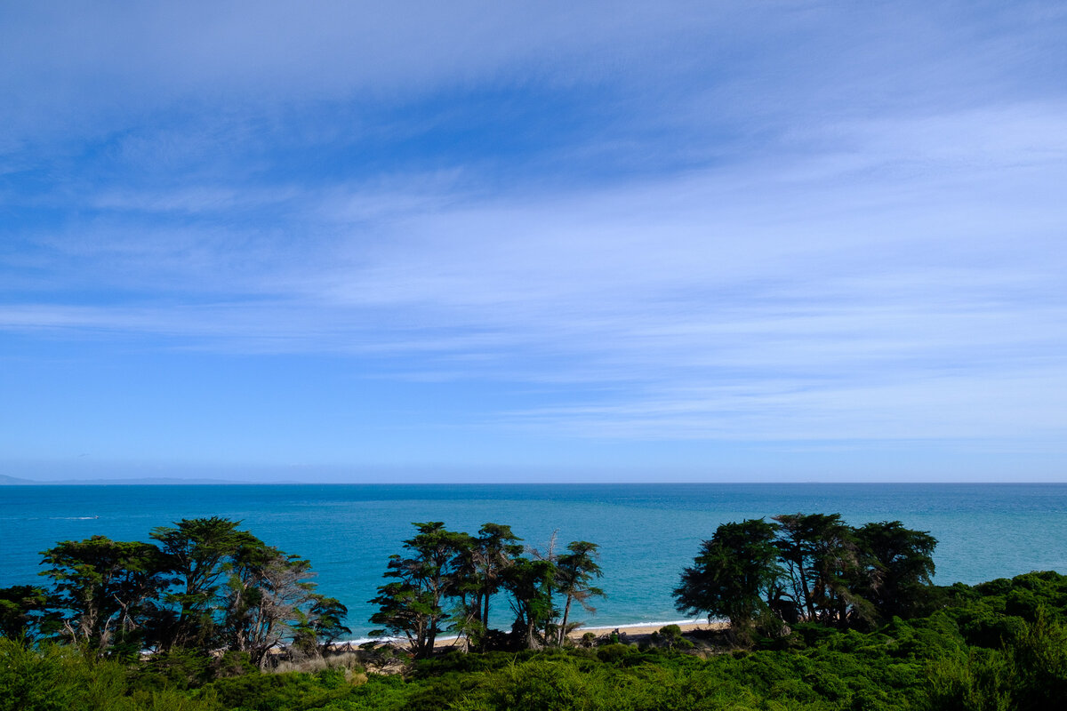
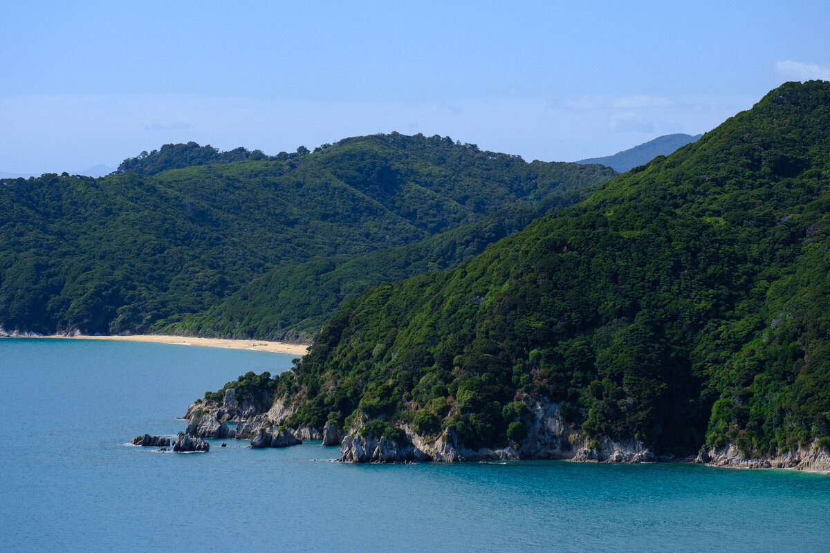

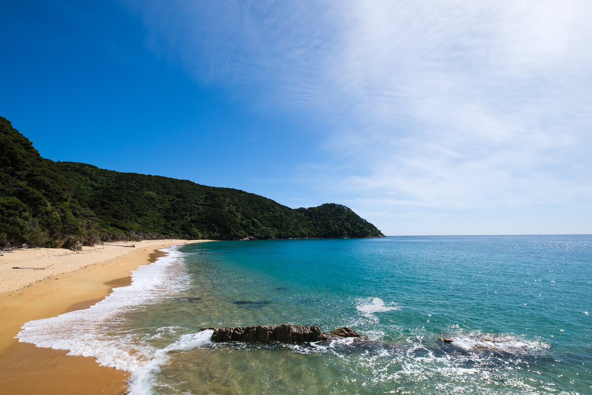
When we walked on, from time to time we came past the great walk campsites – and they were amazing. The locations were just incredible, we were really sad that we didn't actually stay at any of them.
Then once we got to Totaranui, our path split with the Abel Tasman Coastal Track. We instead walked inland, onto the Gibbs Track. From there it was up, up, up a mountain in the heat of the burning sun. By that time it was shortly after noon and there was no shade anywhere. So we plastered on sunscreen and just soldiered on. That part of the track wasn't very fun though, and there weren't really many good views to be had either. The views were blocked by the trees and brush that at the same time wasn't quite high enough to give us shade. Very disappointing.
Leave a comment