Breast Hill Track
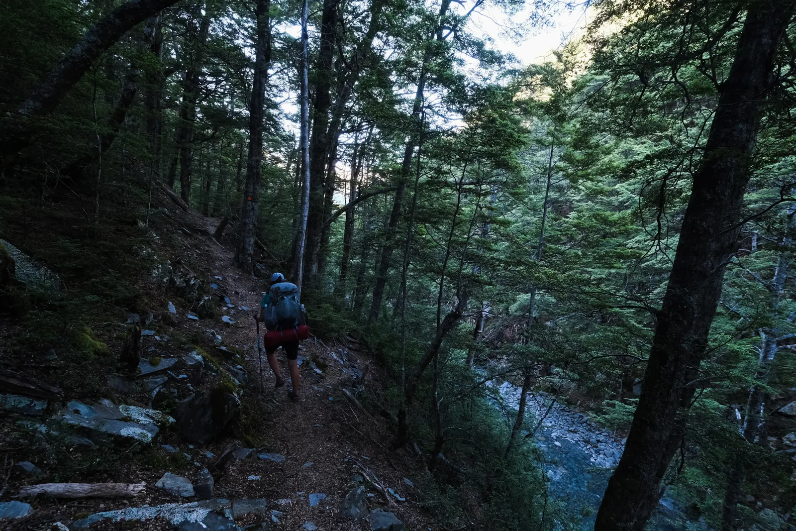
After the little adventure in the morning on the end of the East Ahuriri Track, the Breast Hill Track started easy. We first walked on a small, but well marked and visible track through open farmland - mostly fields, small hills and a few crossings of a shallow stream. Then the path continued on a broad farmtrack. This kind of hiking reminded us more of many trails in Germany and Austria. The scenery did too. It was easy walking, which was really nice for a change.
At almost exactly noon we came by a small private hut named "Tin Hut", which of course called for a lunch break. The hut was really nice and inside had one bunk that was used to demonstrate how Musterers used to stay in the old huts - complete with a straw filled matress. The hut hadn't been listed as accommodation in our trail notes, but was open and available for overnight stays for a fee of 10$. Had we known that before we might have planned our trek differently. But now it was just the middle of the day, so we packed up again to continue on. Just as we left, another two TA walkers arrived, also wondered that the hut would have been nice for a night's stay, and then also enjoyed a lunch break.

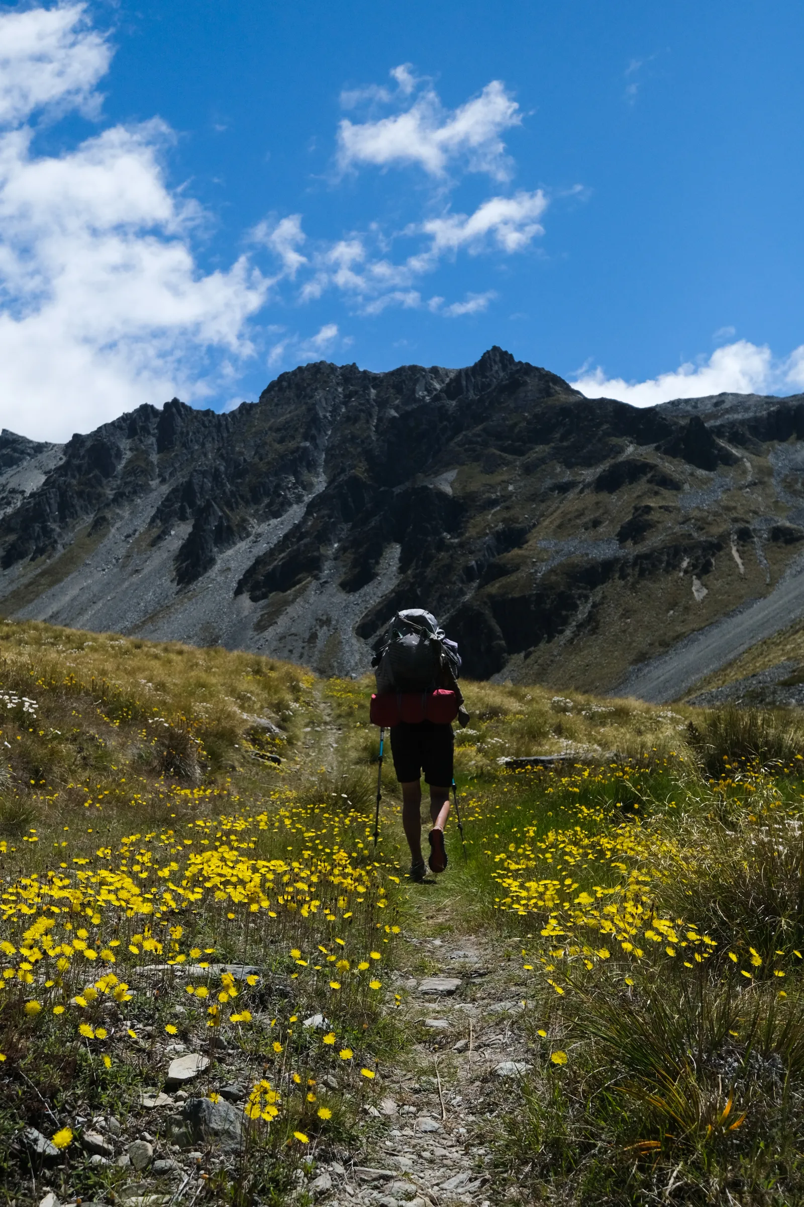
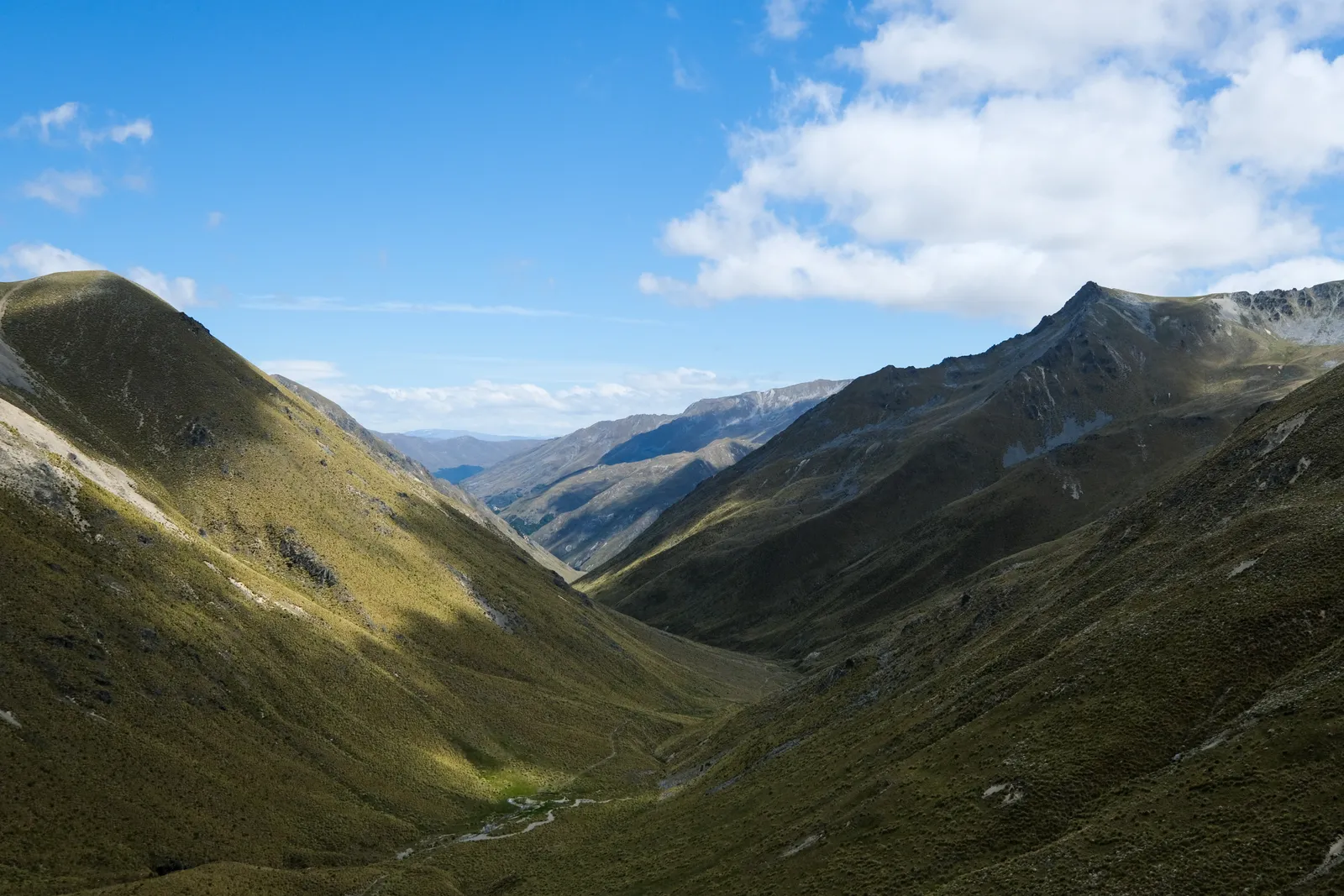
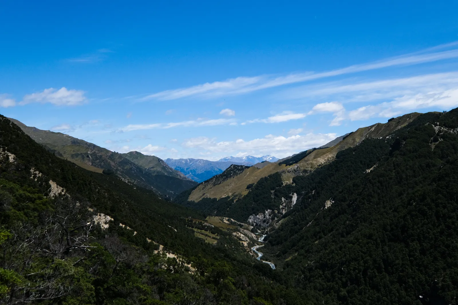
Our track now led up towards Martha Saddle and while we kept wondering when the wide farmtrack would lead onto one of the more typical, small footpaths, it never did. On the way up we came across several hikers walking down - TA Nobos.
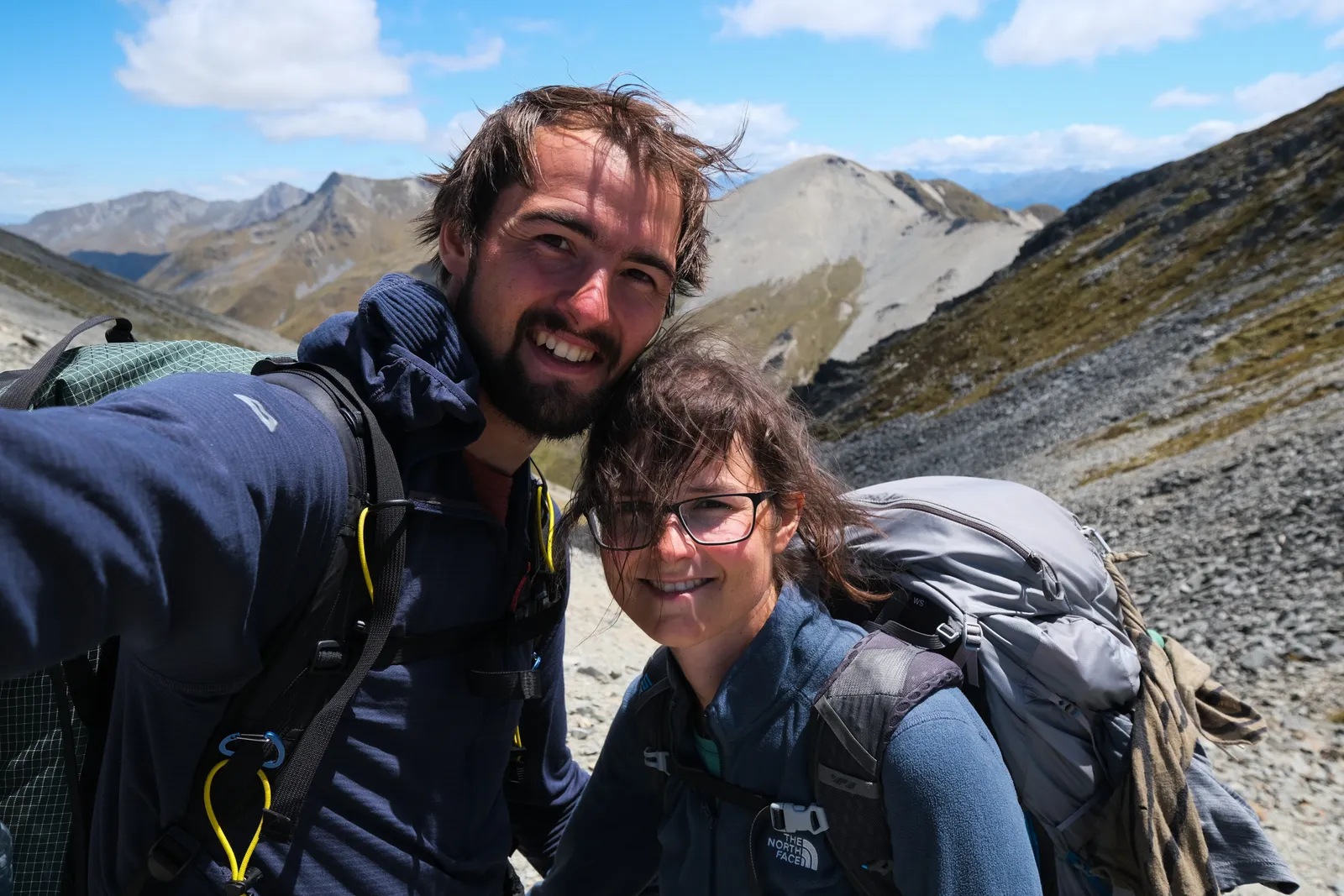
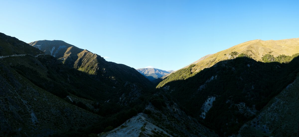
Soon the saddle, or what we believed to be the saddle, came into view and we were still on the bulldozer track. It actually continued all the way up - a first, we had not followed a track this wide on any of the trails we had walked so far. The closer we got to the saddle, the more windy it got. At the top we only stayed for a short selfie, and then immediately started our walk down on yet another bulldozer track. Easy walking all day!
Since it was a fairly long day hiking, especially after we had lost quite some time crossing the Ahuriri River, that turned out to be very convenient. It was only when we got to the bottom of the valley on the other side, that the wide track finally turned into one of the more usual narrow footpaths, leading us to Top Timaru Hut. Upon getting closer to the hut, we noticed two things: it looked like a really new, really nice Hut. And we could see a few pairs of boots and trekking poles outside. Would we have to camp out there, instead of getting a bunk? The location was nice, but it was really close to a river - almost certainly there would be an abundance of sand flies, and we were not keen on being eaten alive. Once we knocked and looked inside, there were two bunks left. Yay for us!

Two of the people already sitting in the hut turned out to be the Kiwis we had met before at Royal Hut - which lead to a nice chat about our bike ride along the Tekapo Canal and their alternative route. The other two guys staying in the hut were two germans - the first germans we actually met on the trail - whose names we had seen in the hut books quite a few times.
Top Timaru Hut to Stodys Hut
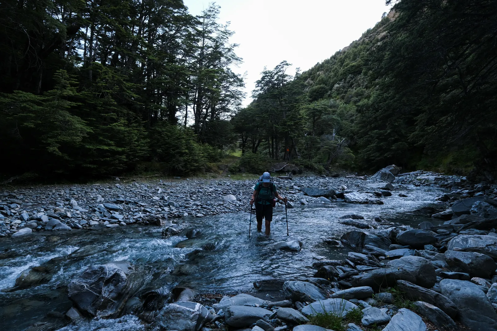
Motivation was pretty high when we got up the next day. We had planned to walk to Stodys Hut, but in Guthook many people suggested to continue on to Pakathui Hut since that one was a lot nicer. That would mean yet another long day, and depend on how fast we got to Stodys. In the beginning of the day we progressed fast. The trail was easy to follow and the terrain allowed for a bit of speed. Then it gradually got harder.
We moved from the forest down into the river valley, crossed the Stream several times, then went up again. And then repeated all of that. It was a constant up the riverbank and then down again to collect some more water in our shoes. I soon lost all motivation of the morning - I can only tolerate a certain amount of useless ups and down - we could have just walked around the bluffs and cliffs in the riverbed, that would have saved us a few kilometers and a lot of altitude.
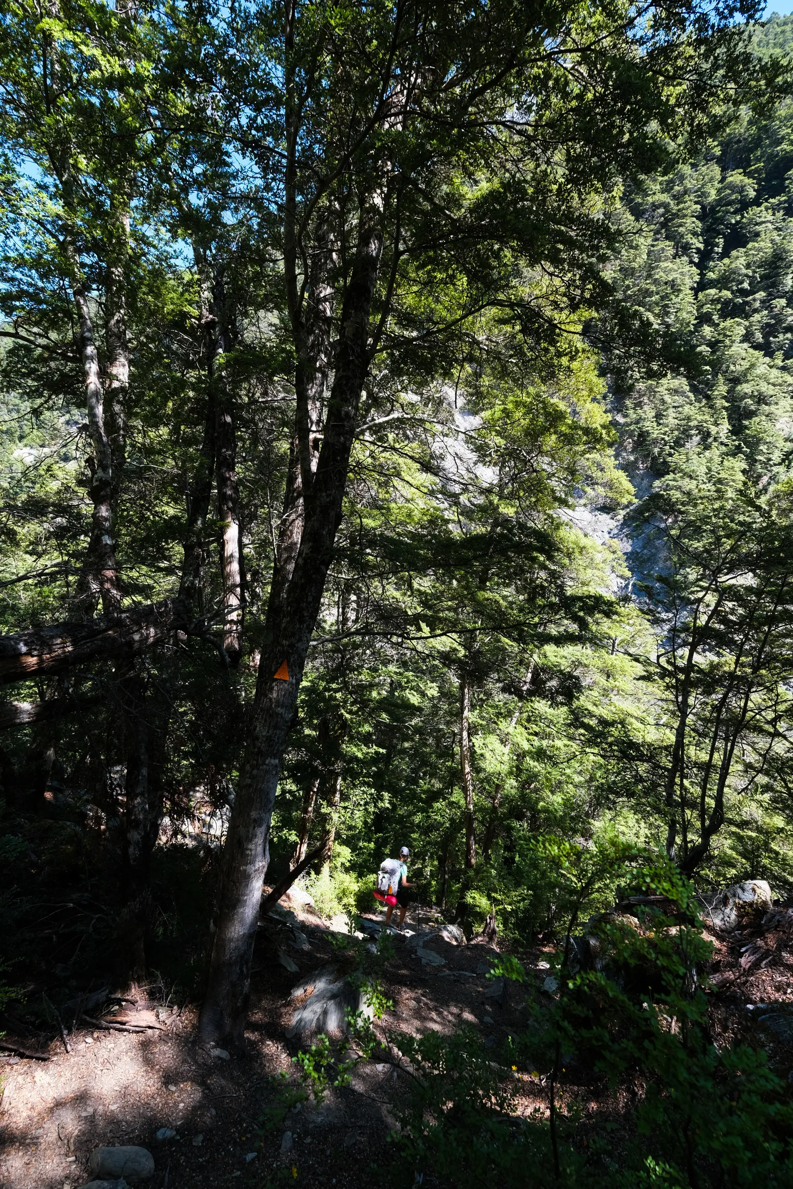
The ascent to Stodys was very steep and I stumbled a lot, fell over my feet or my trekking poles, or both. Tim started to be worried and a bit annoyed. So by the time we finally reached Stodys Hut, the decision to stay or walk on was basically already made. We discussed if we should go further anyways. It was still early enough in the day to make it to Pakathui Hut and according to the trail notes the next section would be easier again. Doing so would place us closer to Lake Hawea and promise a really short day tomorrow. But on the other hand the plan had been to stay at Stodys anyways, and Tim was worried I might just collapse if we continued. So we stayed.
The two germans Felix and Johannes had arrived shortly before us and faced the same problem - and also decided to stay. So did the Kiwis that arrived shortly after us - but they wanted to camp again, which left some space in the old rusty hut.
Later in the evening three girls came down the trail from Breast Hill and were happy to find two empty bunks, and us and the other germans willing to squeeze together to make enough space for the third one of them.
Stodys Hut to Lake Hawea Township
We got up early again, as we wanted to ideally see the sun rising above Lake Hawea. Only we were already too late for that. But we were in time for the beautifully golden morning hours. The sun out and the sky blue, it was promising to be a great beautiful day.
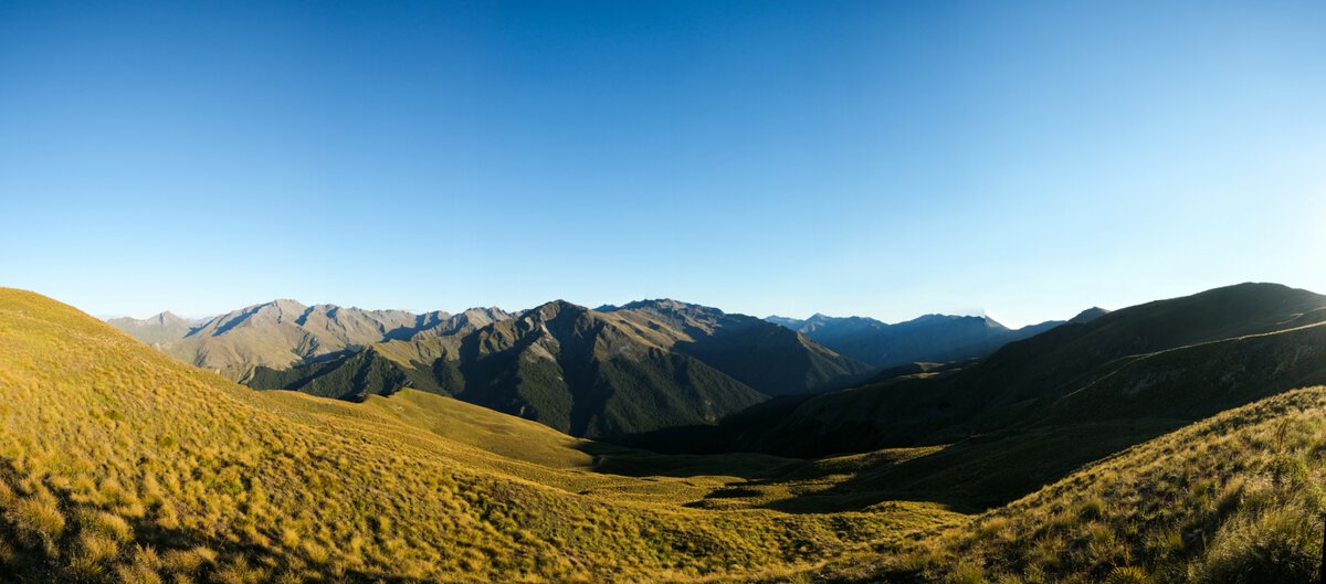
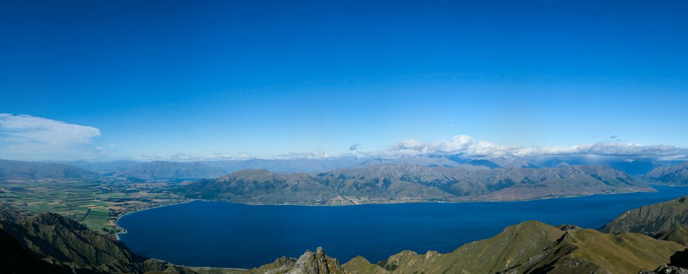
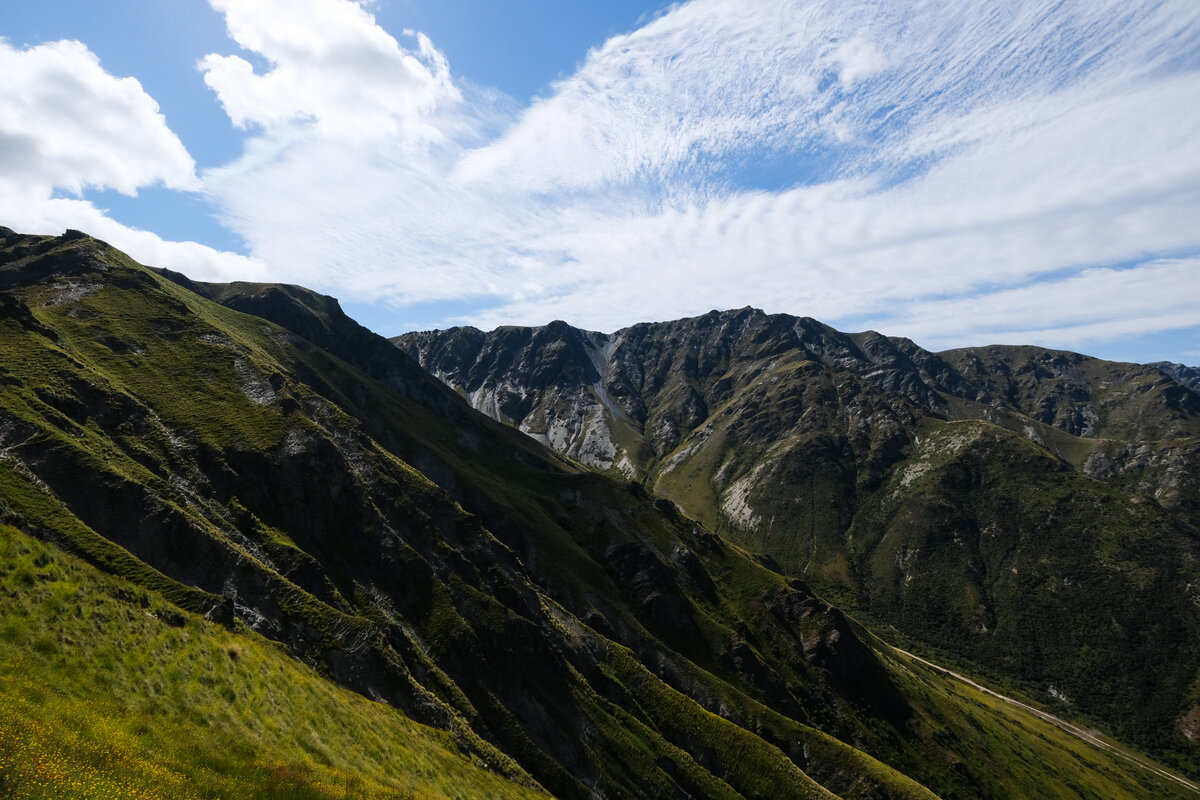
As the trail notes had suggested the way to Breast Hill was easy to walk - mostly wide farm track and we made good progress. It was very windy though. Once we got to Breast Hill the view was beautiful, but we couldn't enjoy it too much due to the wind ripping on our clothes and backpacks. We expected it to get better once we left the peak and started down to Pakethui Hut, but it only slowed down for short whiles before picking up again.
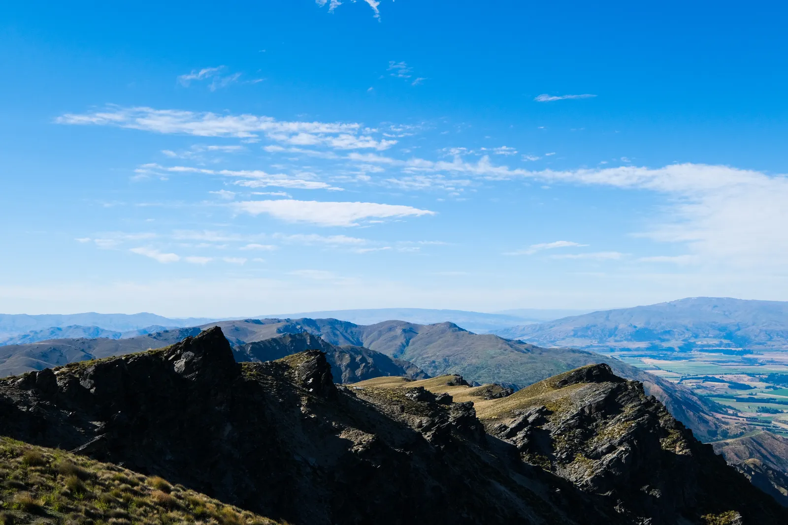
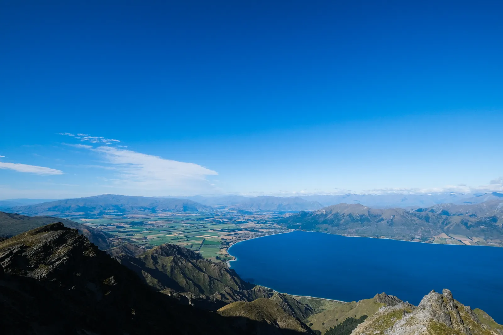
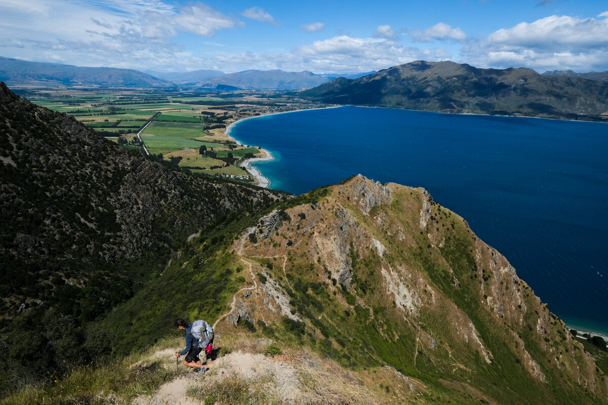
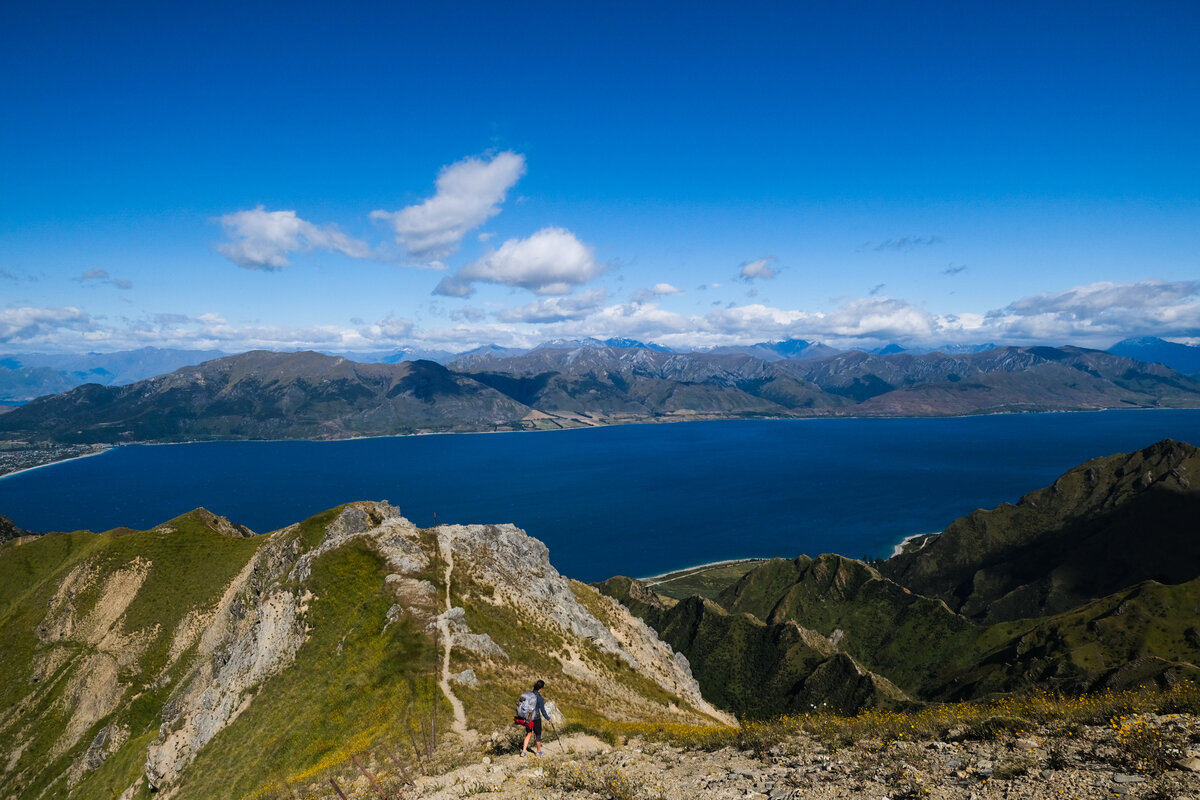
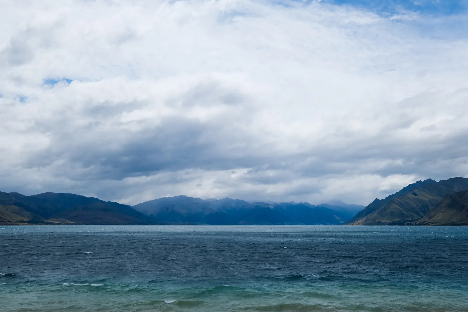
Once by the intersection to the hut we checked our water and decided that we didn't need to go down to get more, so instead we started our descent to Lake Hawea. The track down led along ridges and allowed for beautiful views most of the way, unfortunately most of the time it also kept being extremely windy due to the exposed nature of the trail. We stopped in a sheltered corner in a nook of a big rock for a short snack break and enjoyed the view without the wind for a while.

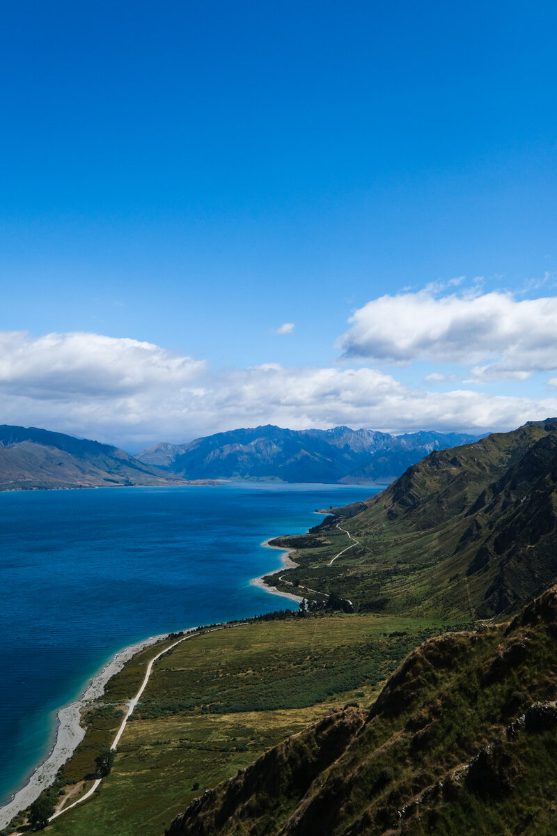
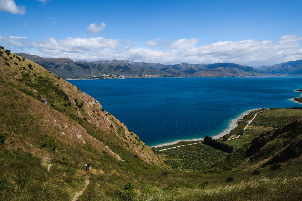
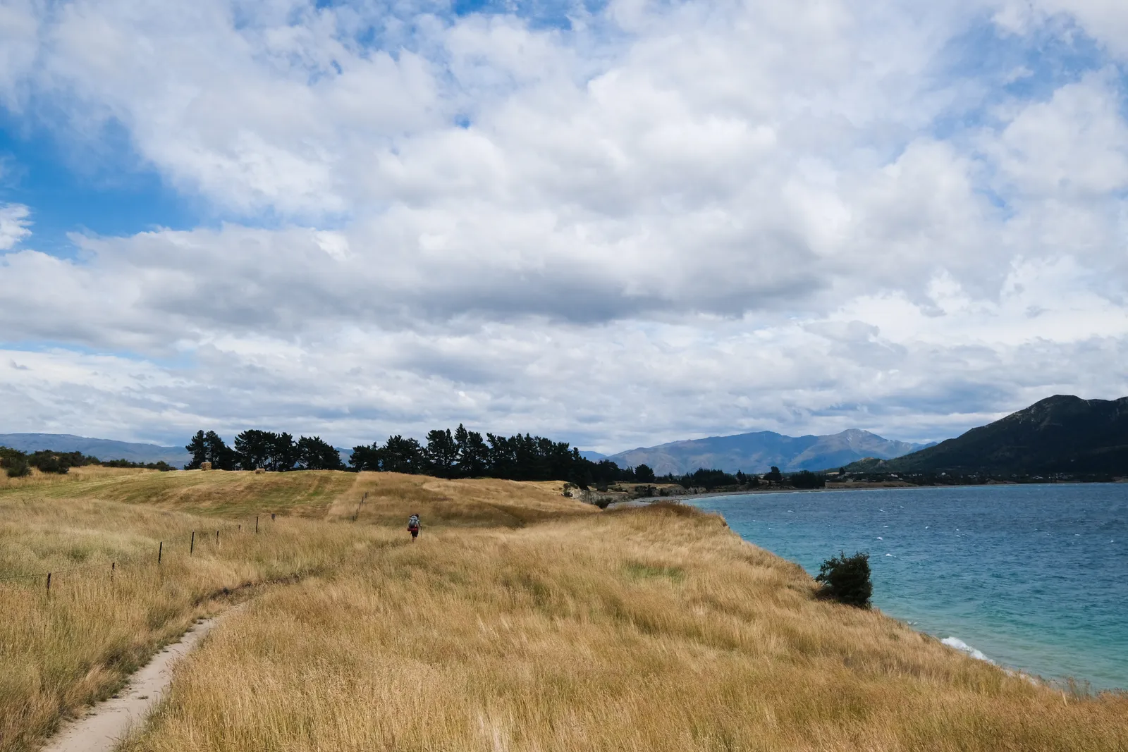
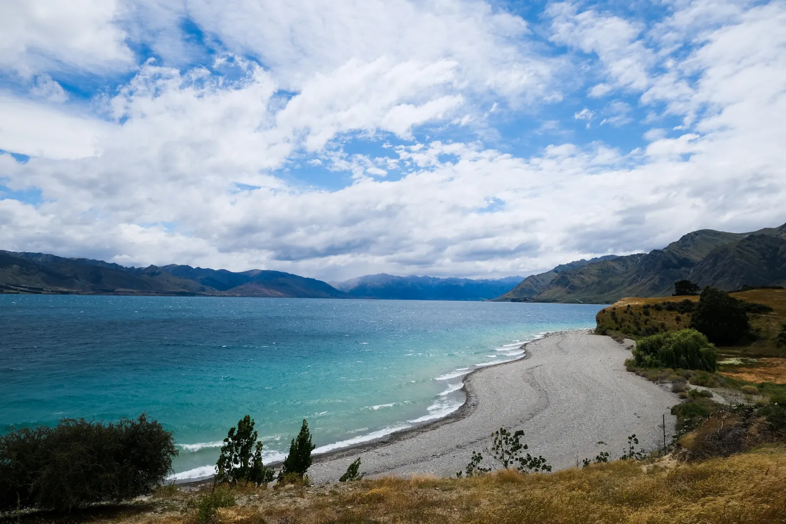
Afterwards we continued the steep descent and ended up in the valley by the Carpark at only 1pm. That left a 7km walk into the town, which we really enjoyed. It led through grassy fields and opened for views of the beaches of Lake Hawea every once in while.
Once we had gotten into town, our first stop was at the local General Store - we treated ourselves to a double scoop of ice cream each - and bought some fruit and juice for the next day. After that we moved on to the Holiday Park and set up camp, only to the return to the General Store, which also was a restaurant/takeaway to have some burger and Fish'n'Chips.
Leave a comment