St. James Walkway
After the Waiau Hut the Te Araroa trail soon connects to the St. James Walkway, which ultimately leads out to Boyle Village.
Waiau Hut to Anne Hut
After our adventurous day on the Waiau Pass followed a long day in a flat valley, supposedly 22km of relatively easy walking.
What wasn't so easy was the weather. We had known that the weather was going to change, but waking up to the rain pounding on the tin roof of the hut still didn't make us happy.
After the obligatory Porridge Breakfast the first thing really putting me off was putting on the still wet socks and shoes and then the wet weather gear - today the complete set with rain jacket and our myog rain kilts.
We took our sweet time because we didn't want to go outside but eventually we just had to. Then we started going. It took just a few steps through the knee high, wet grass to completely soak our shoes once again - that's the trade off when wearing non-waterproofed trail runners.
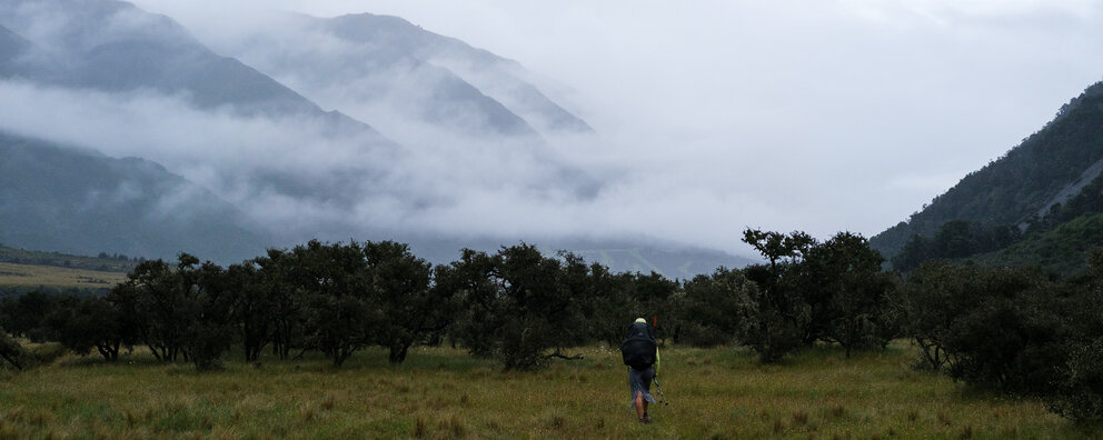
Then we ventured on. Soon we came to the first little stream crossing of the day in a grassy field. Nothing to step on in the stream, so more icy water in our shoes. Yay for that. My mood didn't bright up much during that whole day. It was really just a matter of getting there, not so much enjoyment today. Which is sad, because the wide valley would probably have been absolutely gorgeous, without the rain making everything gray and then the hoods of our rain jackets, that made it hard to actually see anything but what was right in front of our feet.
The next glorious moment happened when our trail met up with the St. James Walkway and a sign happily proclaimed: 22km to Anne Hut.
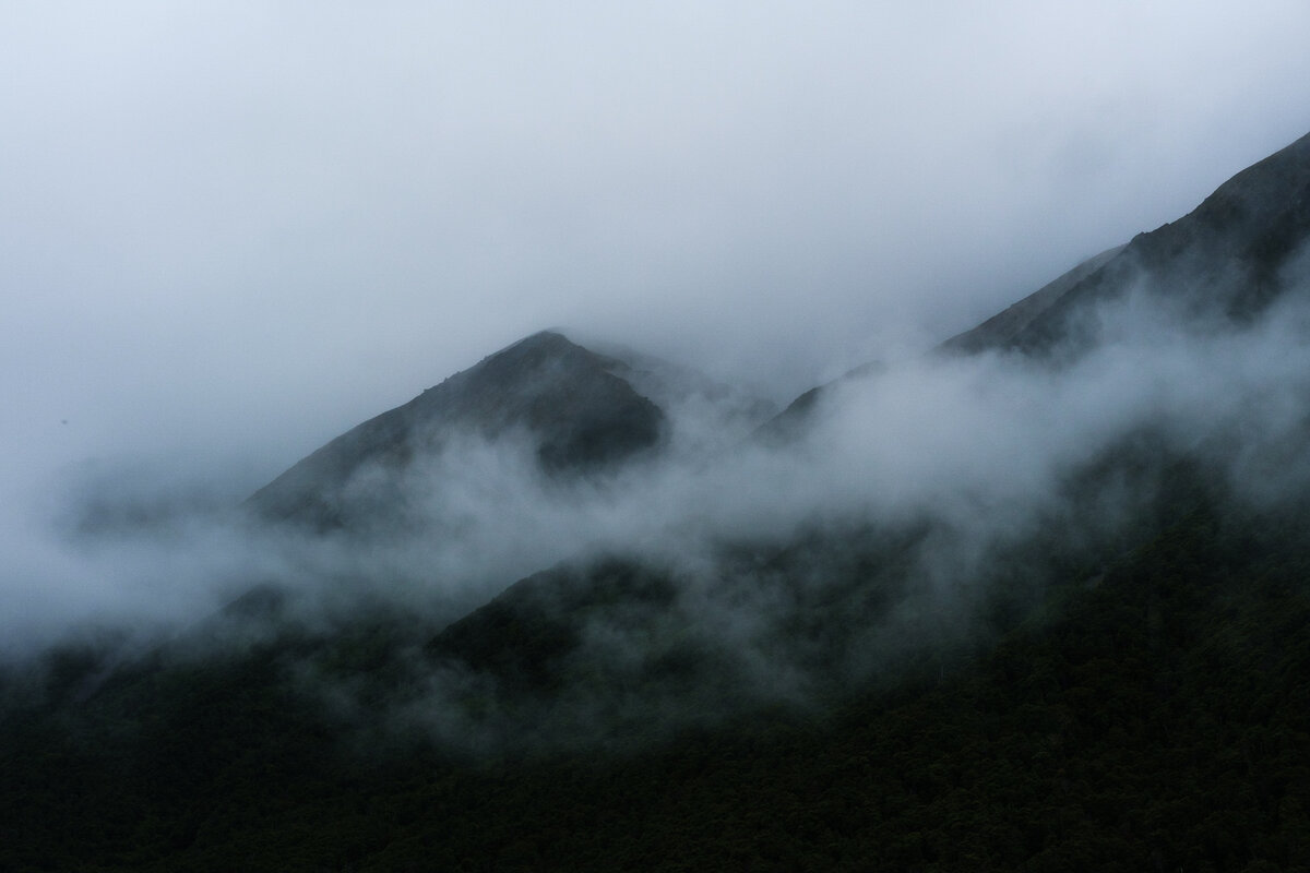
By that time we had already walked for, so we came to the conclusion that the Trail Notes were wrong and today's section was not 22 but really 26km flat through a valley in the pouring rain. Due to the weather we hardly took any pictures, but every now and then we got 20 minutes in between showers where we could actually appreciate the beauty of it all.
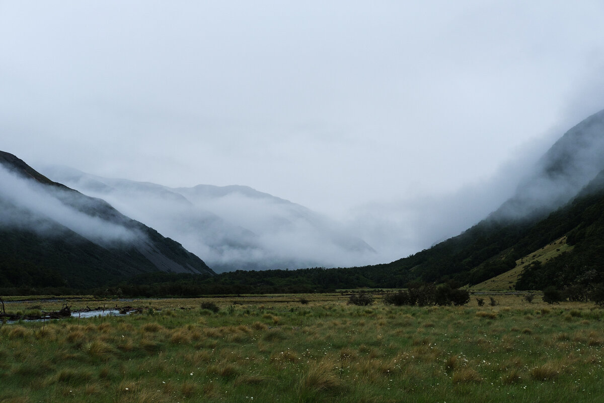
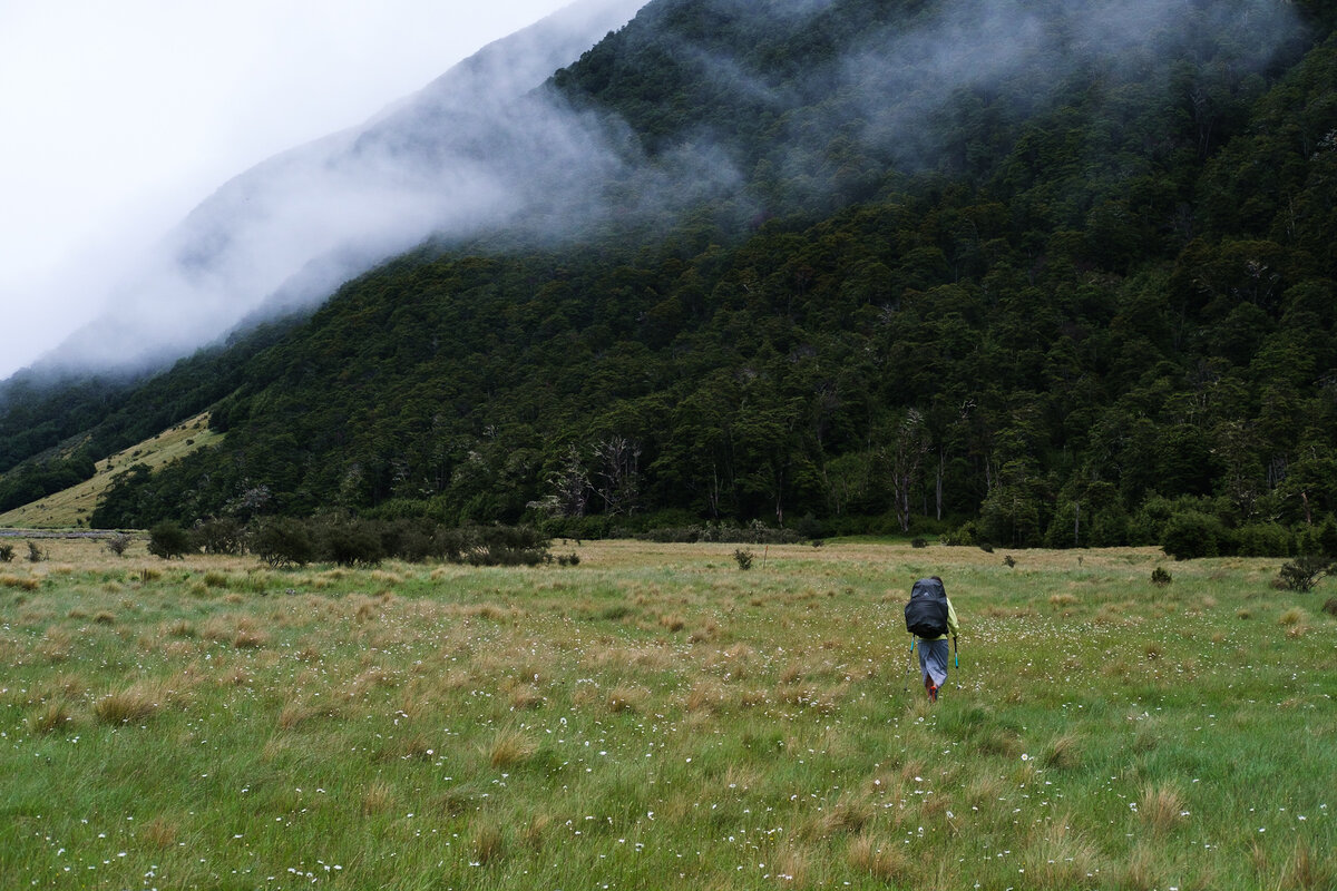


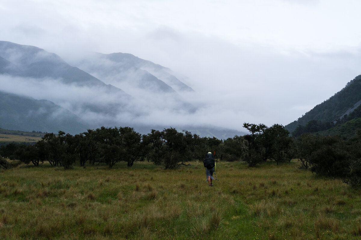

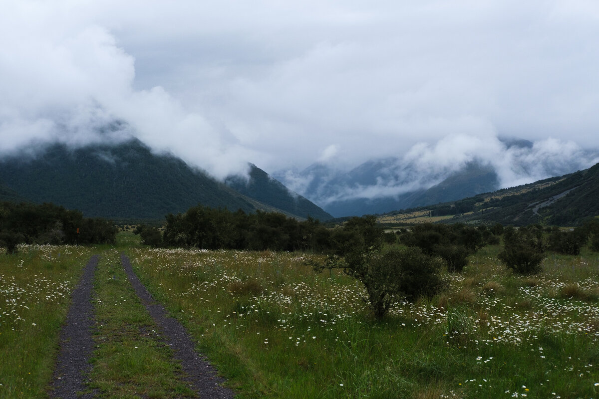
What makes this section of the trail impressive is the vastness of the space. A huge valley - and nothing in it for the most part. No villages, no building, no people, no power lines. Just nature all around. You can never get something like that in Germany. We really loved that.
Another thing we didn't love so much was a bigger river crossing when we had to ford Ada River. The current was quite strong and for tiny people like me it was also deep enough for the water to be well above my knees. It was the first time I was a bit scared about the strength of the water and got me wondering how little more force it needed to actually wash me away.
But worse than that was that now everything was wet, the water had soaked into the legs of my shorts and soon I was wet all over. Also I had somehow gotten a whole load of rocks into my shoes, and even my socks.
At that point I was close to demanding that we pitch our tent right then and there so that I could finally be somewhere dry.
Instead we kept on walking. Next sign. Anne Hut: 10km. By now I thought we'd probably never get there. Those 10km were endless. But in the end, we did arrive at Anne Hut.
And the hut was very new and very nice, we really enjoyed that. We spent the evening playing card games and talking, and soon all the cold, wet memories of the day didn't look quite so bad anymore.
Anne Hut to Boyle Flat Hut
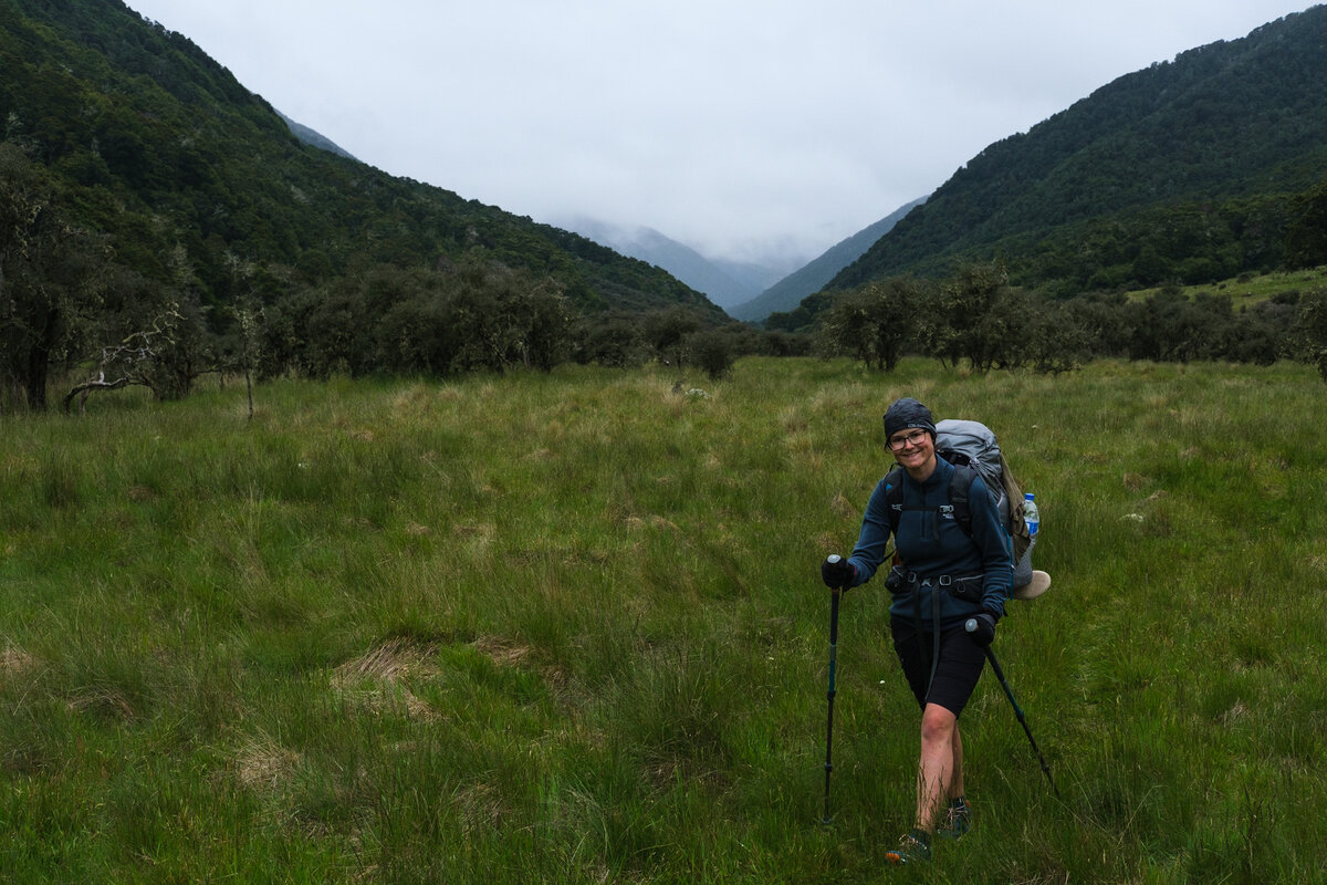
Luckily this morning the weather didn't look quite so bad. Still very gray, but currently no rain. But it had gotten quite cold. So we unpacked our so far unused gloves and hats and started into the day.
The description of the trail showed that the day would again be relatively easy, just a short climb and descent, but mostly flat again.
Initially we were going to walk out to Boyle today which would have made a total distance of over 30km, but we had now decided that we wanted to hitch to a city for Christmas instead of continuing on so we were in no hurry and decided to split the distance in two short days.
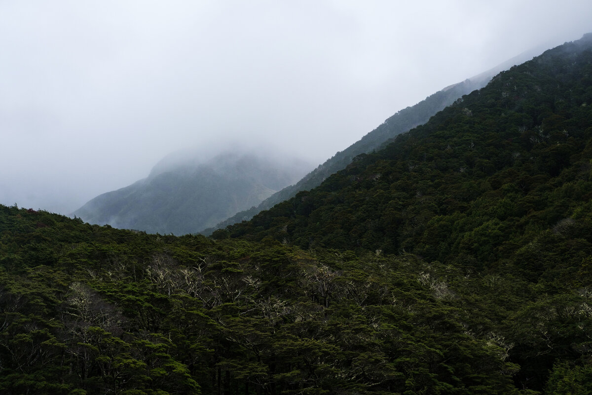
The day was mostly uneventful, but very boggy in places. Our shoes were constantly soaked in brown water or caked in mud.
We climbed across Anne Saddle, a short, easy ascent, which even had a sign in top proclaiming it's height - but inthe middle of a beech forest, so there was no view of any kind. We didn't quite understand what was so special about that.
Other experiences of the day were a bunch of very randomly placed boardwalks and bridges that looked like they were supposed to help against the boggy trail, but were mostly in the wrong places.
We could see the Boyle Flat Hut nestled into the hillside when closing in. It's beautifully situatuated with a nice view into the valley.


The last day of the section was a short and easy one. Mostly pretty flat and easy walking, and then we arrived at Boyle Village. We picked up our food box that we had sent (pretty useless now since we decided to hitch out anyways - but well, plans change) and then got down to the road to try and get a hitch to Hanmer Springs, so we could get from there to Christchurch the next day.
Down by the road were Ryan and Rebecca, who also wanted to hitch out. We stood there for some time, watching cars going by without stopping, and then decided they would probably have an easier time without us also standing there. Just at that moment, a driver pulled up and picked us up. All four of us! Turned out he was even going to Christchurch and could give us a lift all the way to town!


Related Links
Resources for planning this section of the trail. We highly recommend the Department of Conservation Website and Te Araroa Trail Websites for planning your trek.
Te Araroa Trail Website: Trail notes for Waiau Pass Track/St. James Walkway
This part of the TA follows the St. James Walkway, more information about that can be found at the DOC Website
Leave a comment