Albsteig Schwarzwald
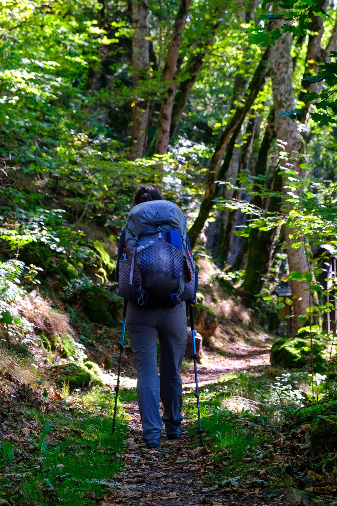
After acquiring a lot of gear throughout the last year we really needed to put it up to a test before leaving to hike across the South Island of New Zealand. While our tent for example had been with us when trekking the Soonwaldsteig, we now had bought a new cooking system, new jackets, socks, shoes and many other things that we didn't have the chance to try on a multi day trip yet. Also the weather now started to cool down after a long summer and we definitely wanted to give camping a try at colder temperatures, to make sure we could actually deal with that and our sleeping bags would be warm enough. To test all this, we decided to take on the Albsteig Schwarzwald.
Section 1 – Albbruck to Görwihl
The first section of the Albsteig led us from Albbruck to Görwihl. We had managed to find a couchsurfer willing to take us in for the night in Görwihl, as we couldn't find information on appropriate camping locations. But since we started a little bit late, we ended up getting in a bit of a hurry towards the end of the section.
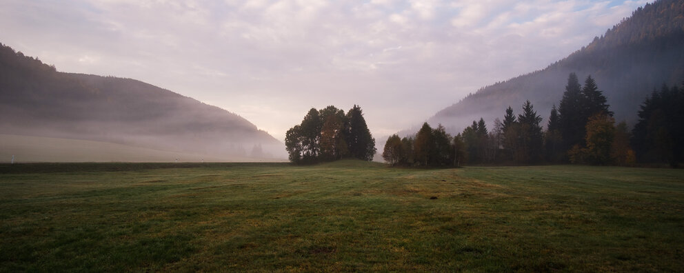
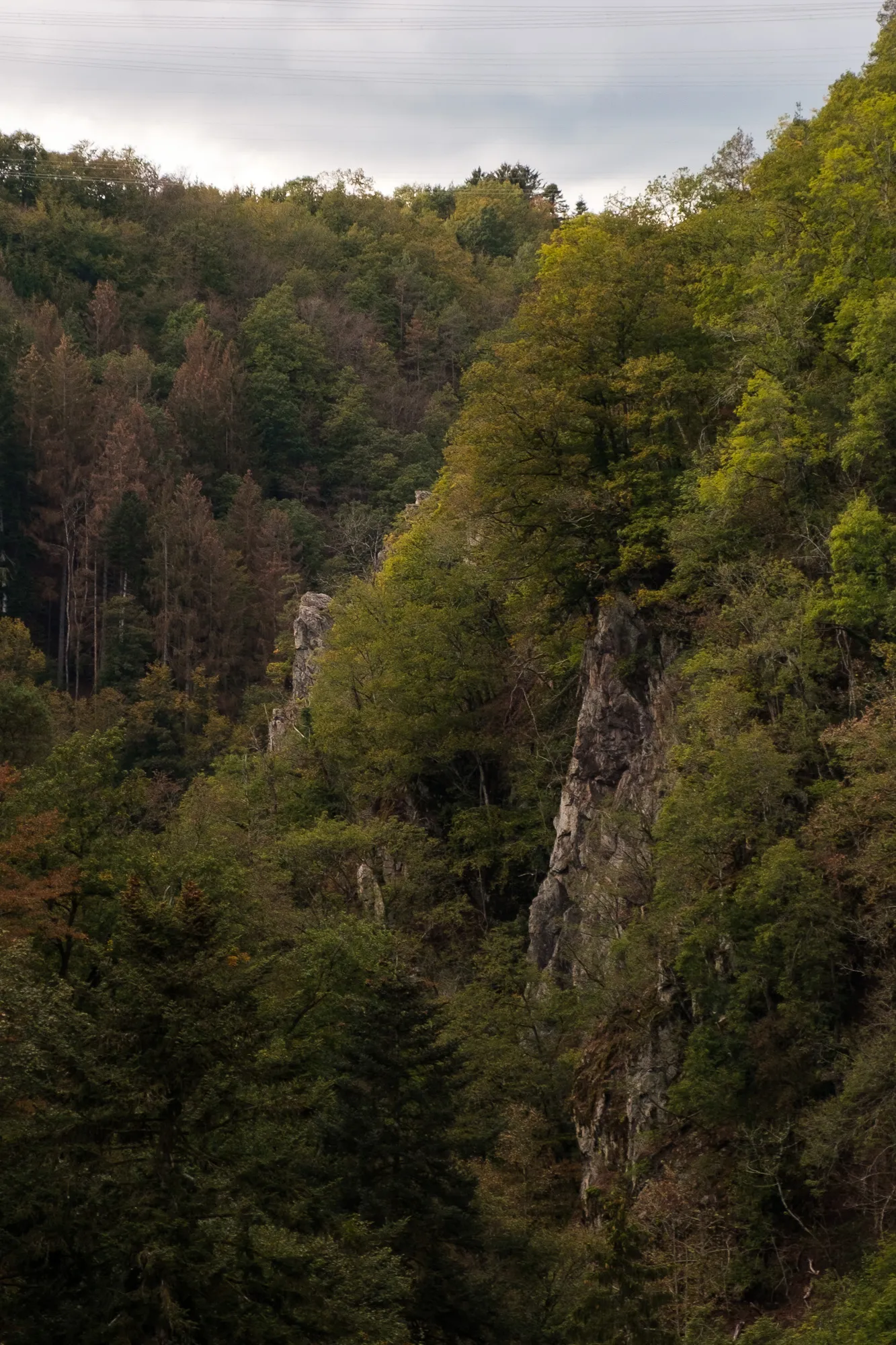
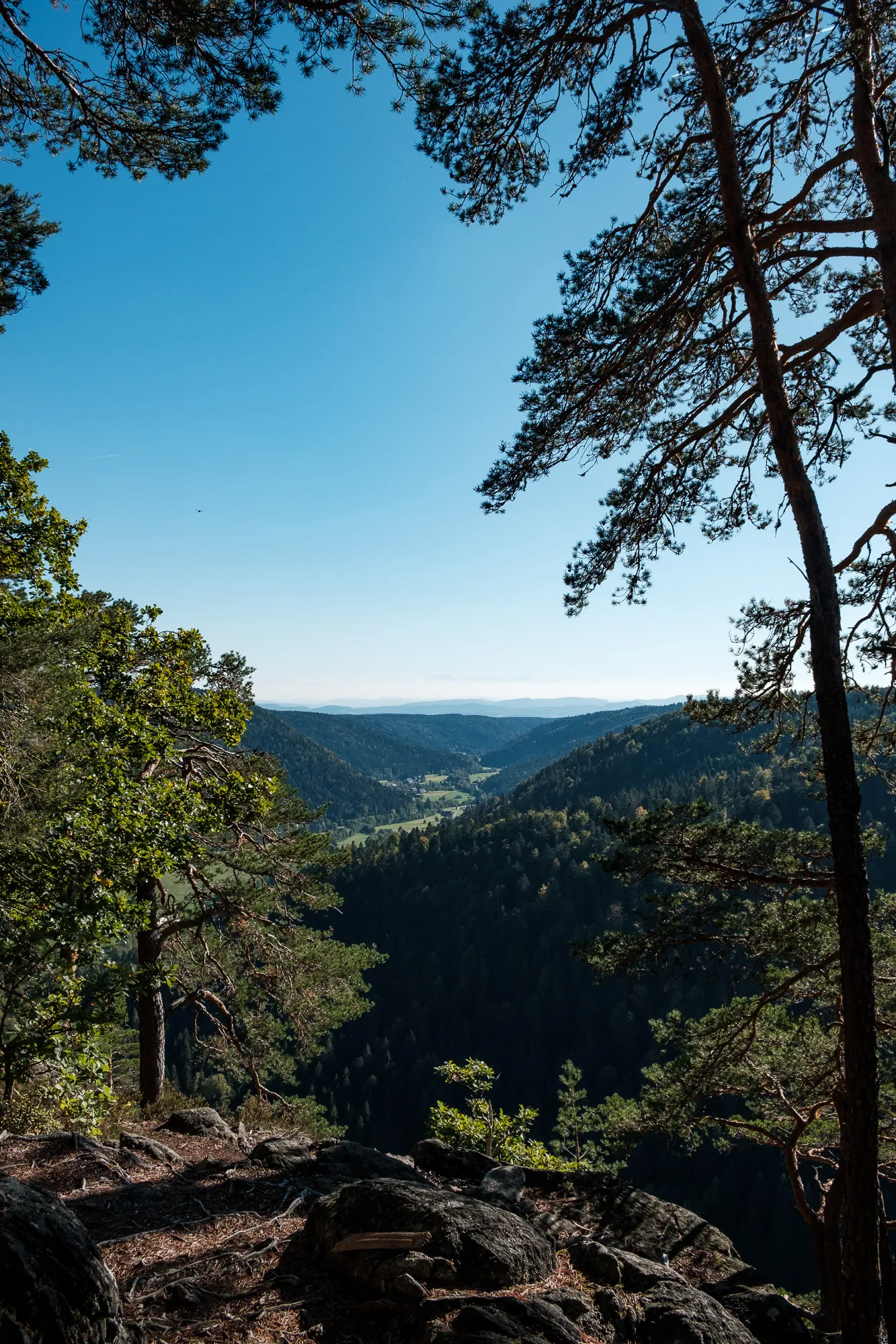
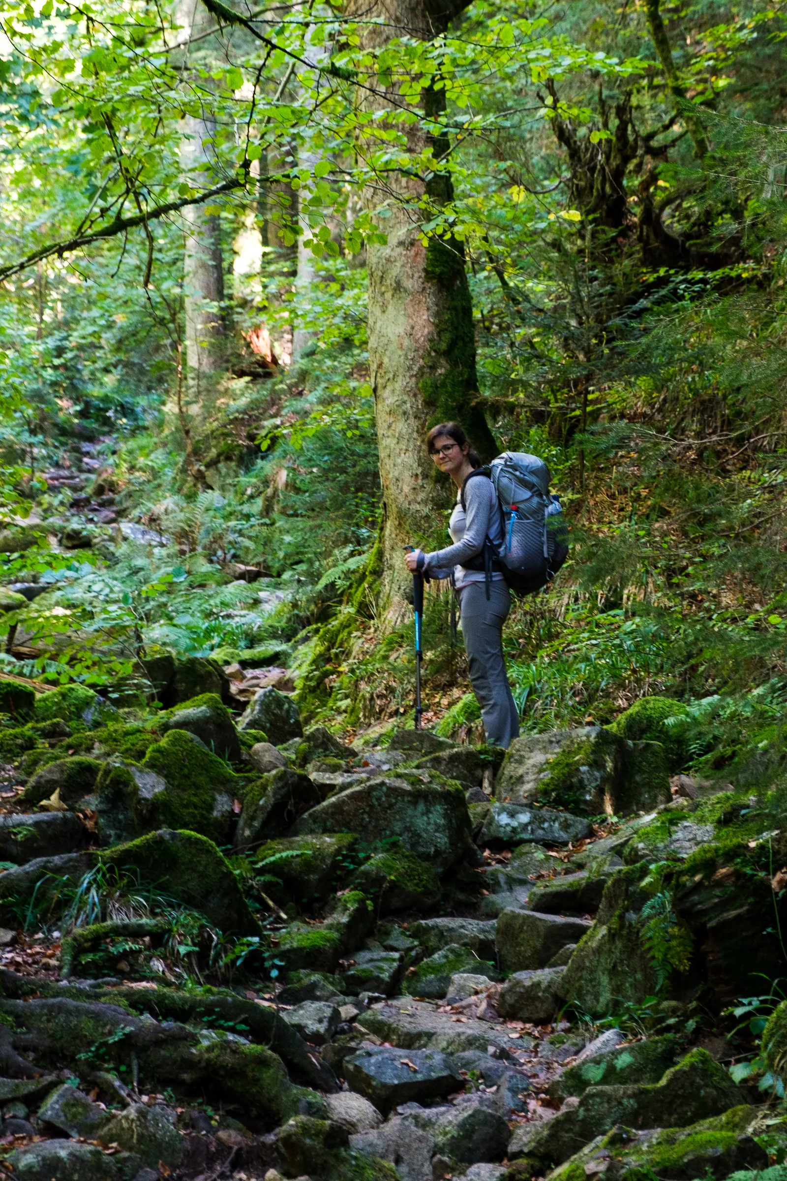
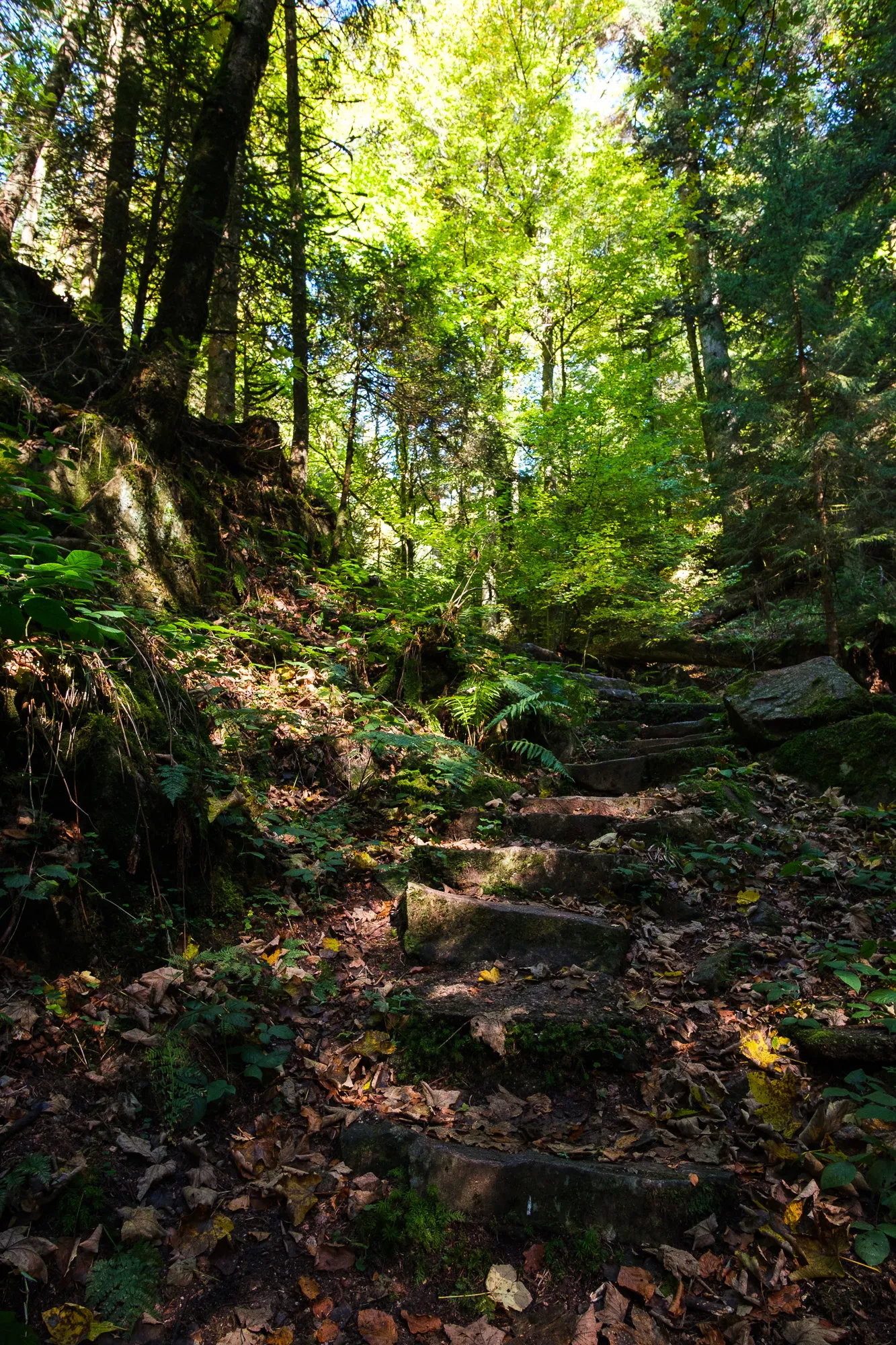
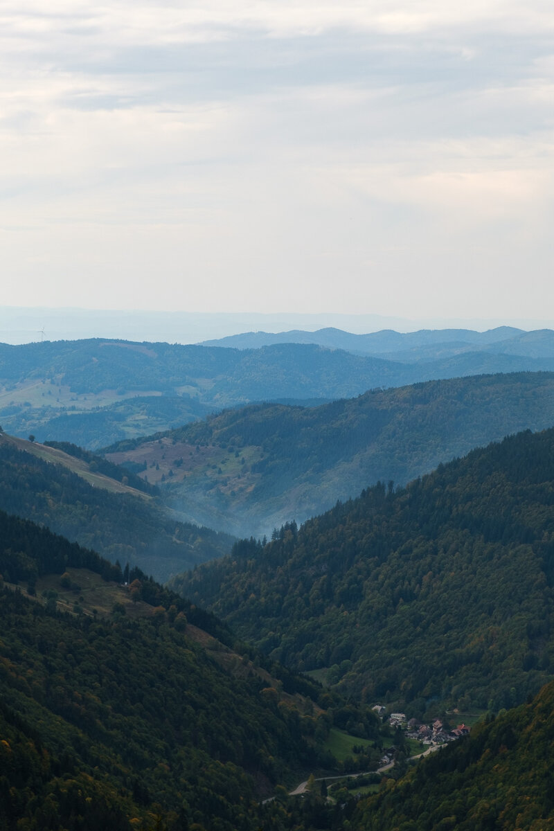
In Albbruck there is a big Portal for the start of the Albsteig, then the trail leads through the town and out into the woods. Pretty soon the "Alb", the river the trail is following, is visible the first time down through the trees. And then it's a lot of ups and downs, into the valley and back up. Both granting great views – either of the river flowing between the rocks, or from hight plateaus down into the valley. At some places the valley is really more a canyon, with steep drops and sharp rocks.
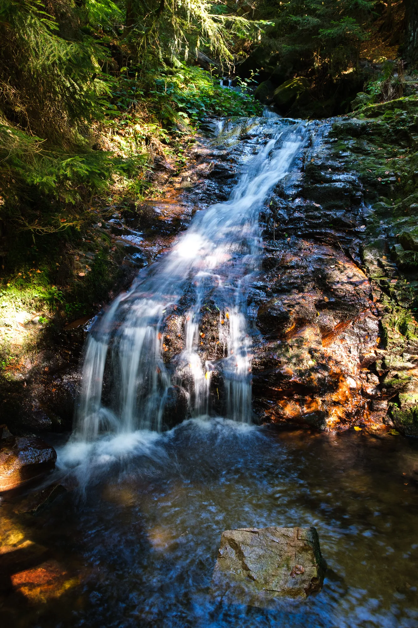
Shortly before getting to Görwihl we walked by several small waterfalls, the "Höllbachwasserfälle". The waterfalls and the setting are really beautiful, so I really wish we had managed to get there earlier in the day. By the time we walked by it was already starting to get dark, which made taking pictures harder, and also put pressure on us to finally get on and meet up with our couchsurfing host.

Section 2 - Görwihl to Albstausse
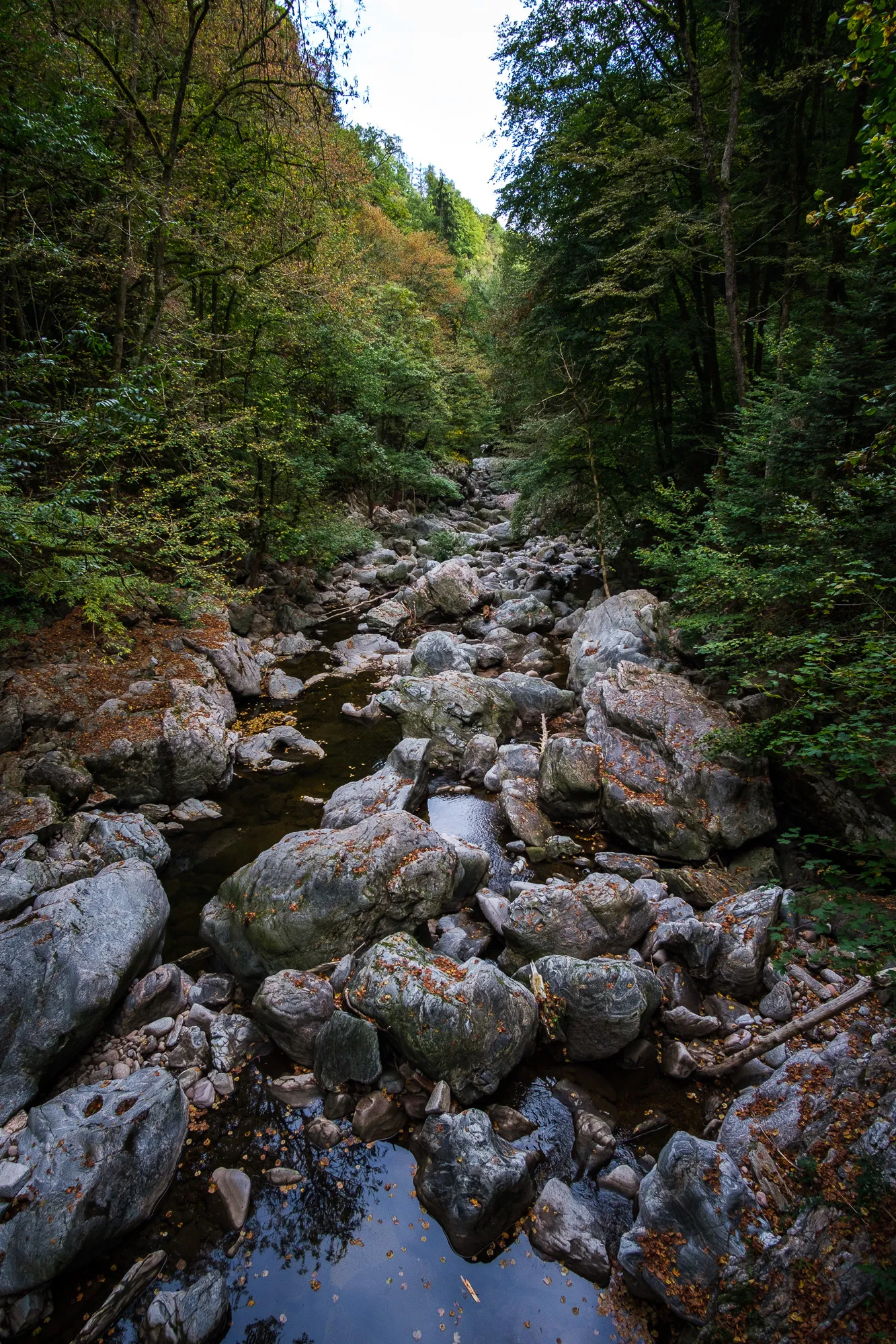
The second section of the Albsteig started fairly similar to the first section – quite a few ups and downs into the valley and back up again. A few kilometers from Görwihl we came by the first highlight - the "Teufelsküche" (Devil's Kitchen) a formation of several huge rocks, smoothed and round due to the river flowing around them, that seem like they were dumped right in to the river. There is local folklore about the place to, but I can't recall quite how the story went. We didn't climb down to look at it closer, but I do regret that now, I think it would have made for some cool pictures.
After that the path led up onto the plateau a bit further away from the river Alb for a little while. We came by a great picnic place at the top of a little hill just after the little town of Wolpadingen. Complete with two wooden benches and a table there which we used for our lunch and a little nap ;) From that hill we could see the Alps further down south, just an opaque line at the horizon, but there nevertheless. There was also a bronze plaque telling the names of the mountains visible from the location. Absolutely recommended for a lunch break!
The next highlight coming up were the Bildsteinfelsen, which also allow for a great view to the Alps and across the valley. Here would be another great place for a longer rest break, we used it to munch on some cereal bars and sit down for a bit to let our legs rest.
Then the trail follows the river Alb to the Albstausee, an artificial lake used to produce energy. Somewhere close to the lake was supposed to be our second trekking camp. Unfortunately we couldn't find it though. We walked around the whole lake and only saw "no camping allowed" signs and signs to a commercial campground, but not the basic campground with no amenities we expected. We thought that maybe the camp wasn't right by the Albsee but a bit further along the way back into the forest, and just walked on.
But even after a few kilometers – no camping spot. Also the terrain got worse for putting up a tent, because we went uphill again, partly even fairly steep. By now the sun was setting and it started to get dark, so we had to find a place to stay. We checked our komoot app for the general direction of the trail and if there was a chance to find a clear space for camping. We found the "Vier-Wegscheid-Hütte" and decided to walk there and freedom camp in the hut. Freedom Camping is illegal in Germany, so we'd normally avoid it. We had planned our hike to work out with the "official" trekking camps – but since we couldn't find the official spot, it was the best we could do.
We actually put up our tent in the hut because the nights were already very cold and we wanted to contain as much warmth as possible. Then we had a dinner in the dark and crawled into our sleeping bags. I can't remember when I last went to sleep at 9 in the evening, but that night we did, because it was dark and we had nothing to do, and the day had been exhausting. In the end we had walked almost 30km instead of the 24km we had planned.
Section 3 - Albstausee to Menzenschwand
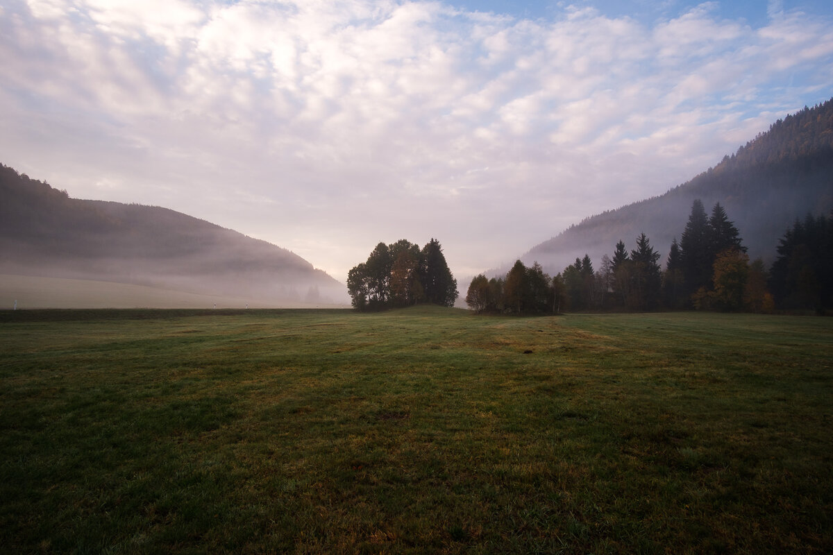
In the night we had heard a lot of forest sounds, probably mostly wild boars, but had otherwise slept OK. So we started into day three with high spirits. After a breakfast of hot porridge and camp coffee we started our walk. The plan was to walk from the Albstausee to Menzenschwand, but we had already walked the first few kilometers or so the night before while searching for the campground, so day three was going to be a short one.
The morning was beautiful and sunny, the morning dew still on the grass and the leaves of the trees, and being out there in the forest was just a pure joy.
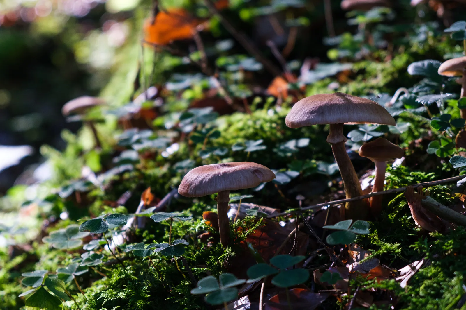
We saw a lot of mushrooms throughout the forest, and I really wish I knew more about them to able to be pick some for dinner. I'll definitely put mushroom knowledge on my To-Do-List after this hike. We also saw blueberry bushes everywhere and I guess we'll have to come back some day to walk this trail during blueberry season - it would be a feast!
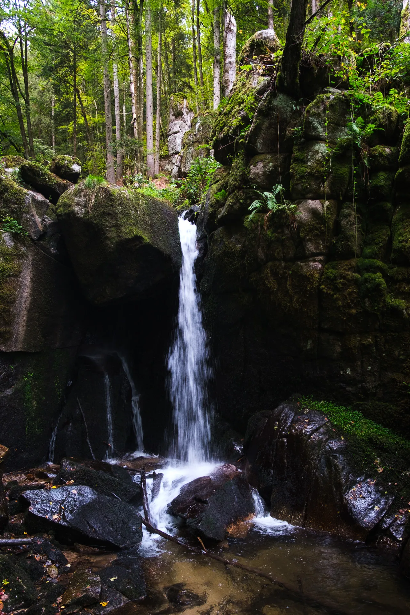
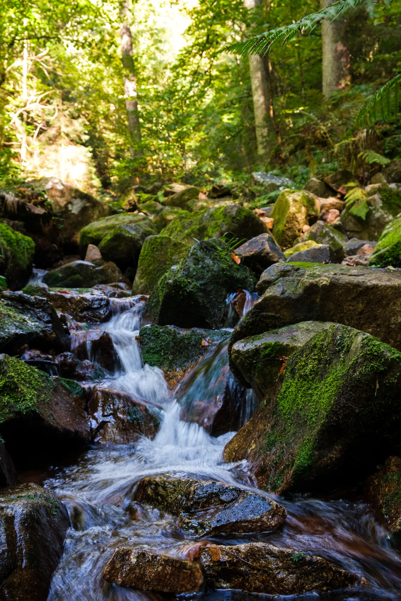
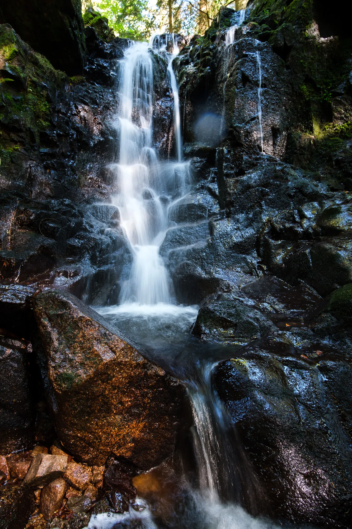
A bit later in the morning we came by the Windbergschlucht, just before St. Blasien. That was definitely one of the absolute highlights of day three as well as the whole Albsteig. The small canyon sports a creek with a several small waterfalls and then a big one, the Windbergwasserfall.

The rest of day the day was pleasant walking, not too much ups and downs, but very diverse and beautiful views.
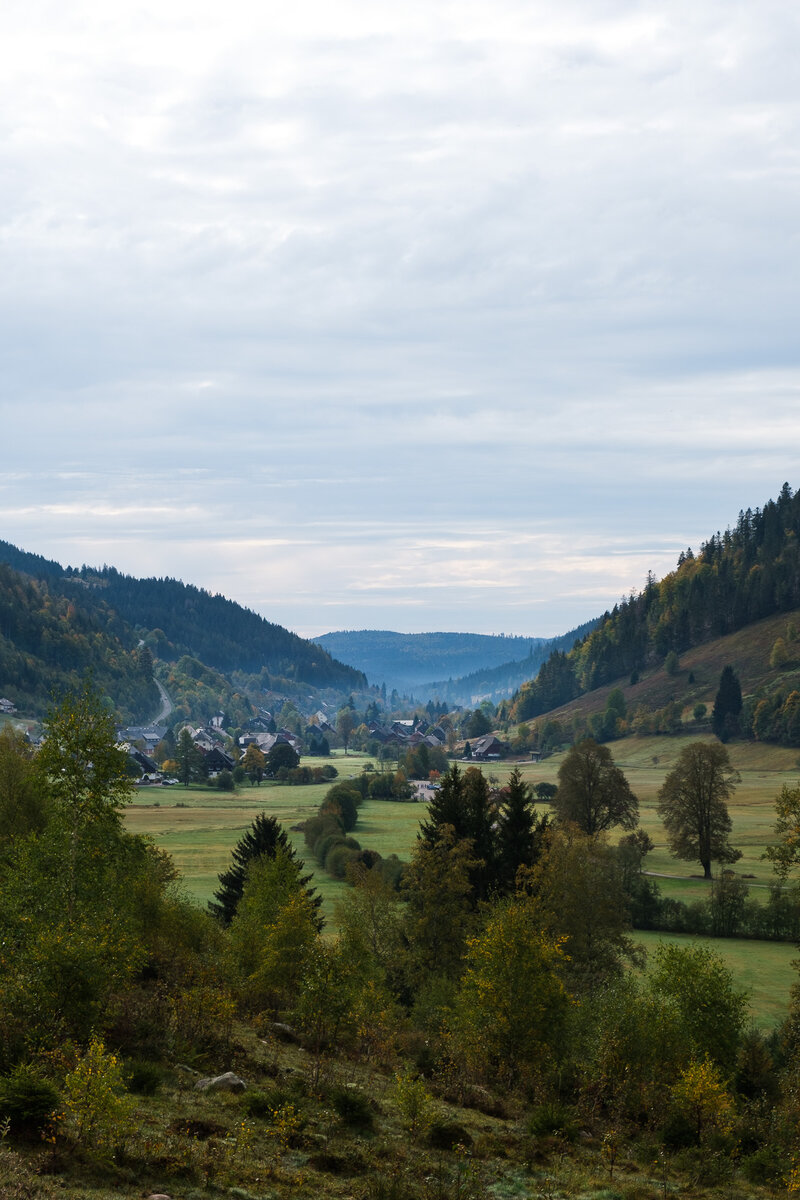
After St.Blasien the trail leads to a sawmill, the "Glashofsäge" - here the trails plits in two directions. Both lead to the Feldberg eventuall and can also be walked in a circle. We chose the right "arm" and walked on towards Menzenschwand.
Shortly after that we ended up getting a little artifical rain walking through a so called "Nasslager", an area where felled trees are collected and kept wet to ensure wood quality until they can be passed on to the sawill. Unfortunately the water spouts not only watered the trees, but also the path that led through the place. It was fun though, we felt a bit like in a jump and run adventure as we ran along the path, trying to avoid the water jets as good as possible. Also the warm weather dried everything that had gotten damp very fast.
A little bit further on was another section we really enjoyed. Reading the trail notes and comparing with the map it probably was the area called "Holzmättle", but not entirely sure. It came after the water spouts and before our camp for the night. The path led up a hill, and everything felt like we were high up in the mountains. The ground was soft and springy, and the trees even smelled like the oh so typical mountain vegetation of the alps. I loved it.
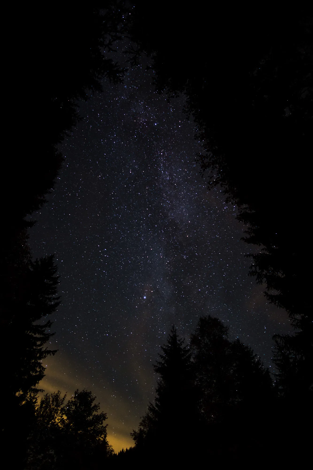
Shortly after we arrived at our camp for the night, this time pretty early. The Grillplatz Menzenschwand was perfect – a lot of even ground to put up our tent, a campfire site and enough dry wood around to make a camp fire. It was a perfect camping evening. After Dinner Tim also tried out some night time photography.
Section 4 - Albstausee to the Feldberg
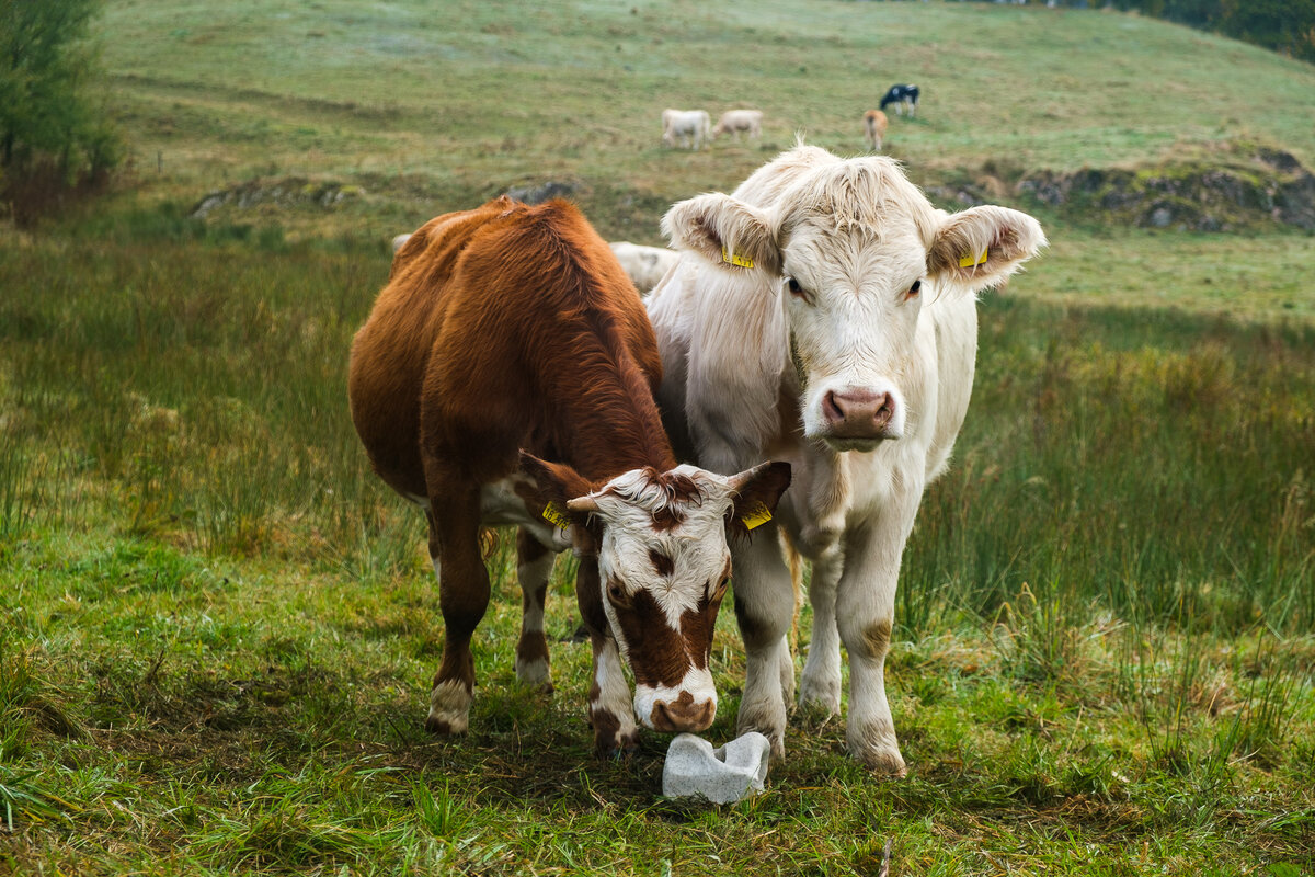
Our last day started with slight fog. We followed the trail markers first through the tiny town of Menzenschwand, first the "Vorderdorf", then the "Hinterdorft" and then continued through the long valley. Hardly any people were out yet, but we did meet some soggy cows and a pen of deers. Towards our path led by the "Menzenschwander Wasserfall", where we actually did meet some tourists that were on their way to take a peek at the waterfall. After this local tourist highlight our path started to lead uphill again. We walked by a sculpture named "Tor zur Glückseligkeit", which can be roughly translated as "Gate to Happiness", and then walked through a huge enclosure for goats that belongs to a local farm. After this the path turned towards the bottom of the valley again. Here Tim complained about his knees hurting for the first time. We obviously could use some more training before embarking on multi day hikes, because on our hike on the Soonwaldsteig I had had pretty similar symptoms.
Back down at the valley floor we came by a small stream and used the opportunity to collect and filter some water as our supply had been getting low after using most of our remaining water for breakfast preparations.
Now there was only one last steep climb between us and the Feldberg peak. It didn't take us very long and soon we reached the "Passhöhe". Here is another Albsteig-Portal, that marks the end of the trail, but we instead decided to continue on to the top of the Feldberg. Which proved to be a bit dissapointing. While the view is great, the peak itself isn't very beautiful and absolute overrun by tourists. Once again we realized that we much prefer the silence and loneliness of the trail to the business of the touristy spots.
In general we were super happy with our Albsteig-Experience and can absolutely recommend it to anyone wanting to find a nice, short multi-day walk that can be done with a tent.


Additional Information
The official website for the Albsteig Schwarzwald
HappyHiker - A hiking report on the Albsteig (German only)
Moosbrugger Climbing - Hiking report Albsteig (German only)
Leave a comment